


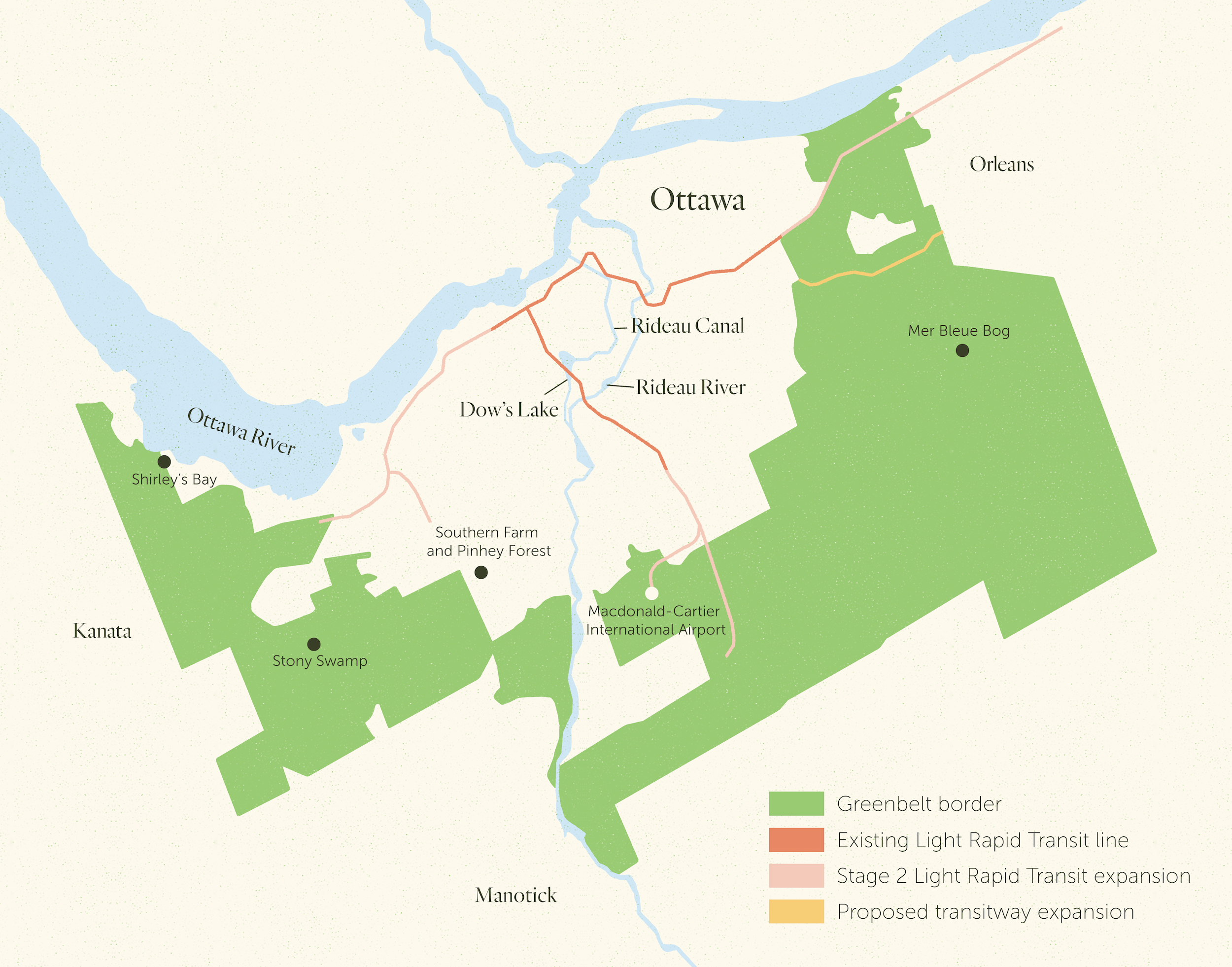
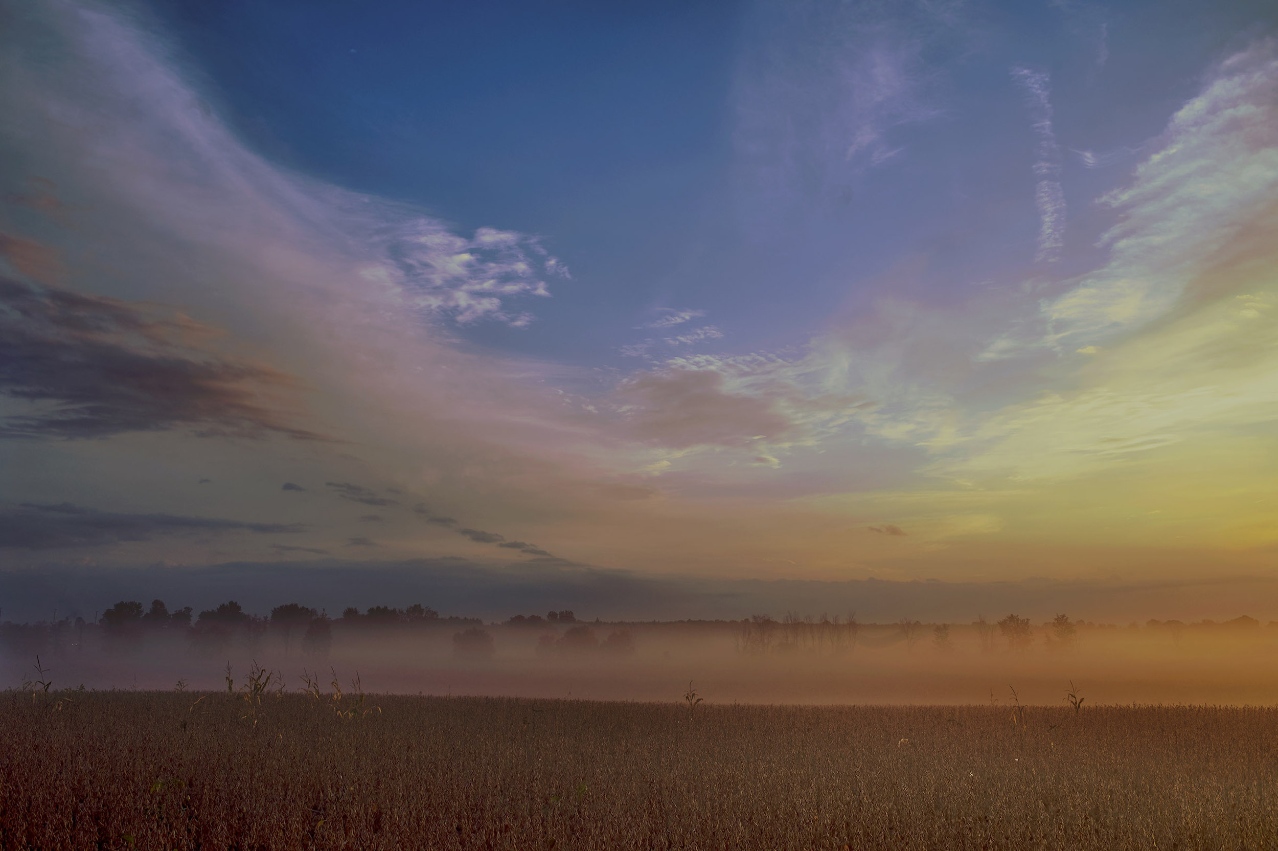
Wrapping around the city of Ottawa is a horseshoe-shaped green space taking up 20,000 hectares of land. Known as the Ottawa Greenbelt, it’s been managed by the National Capital Commission, a federal Crown corporation, since the 1950s.
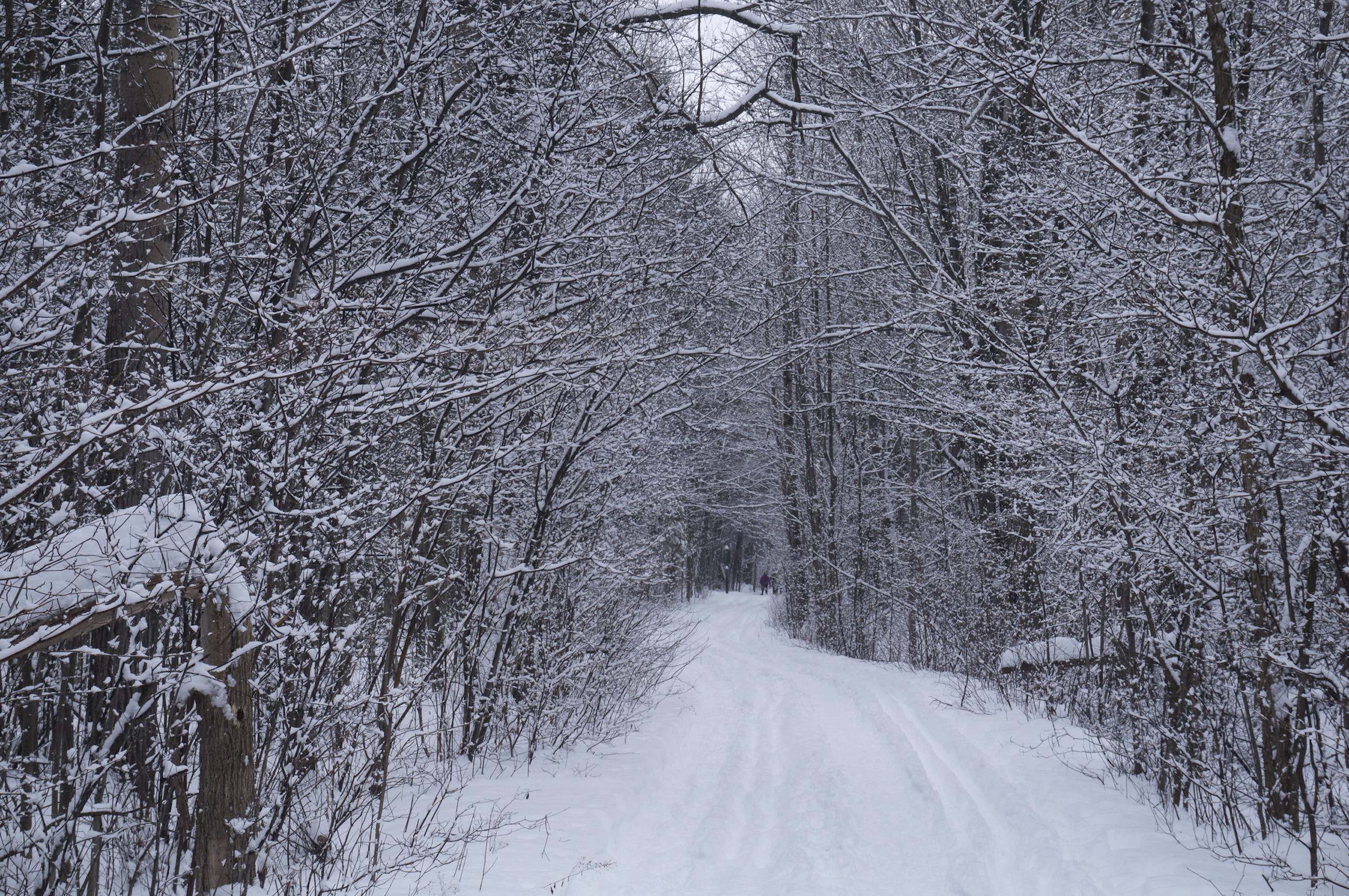
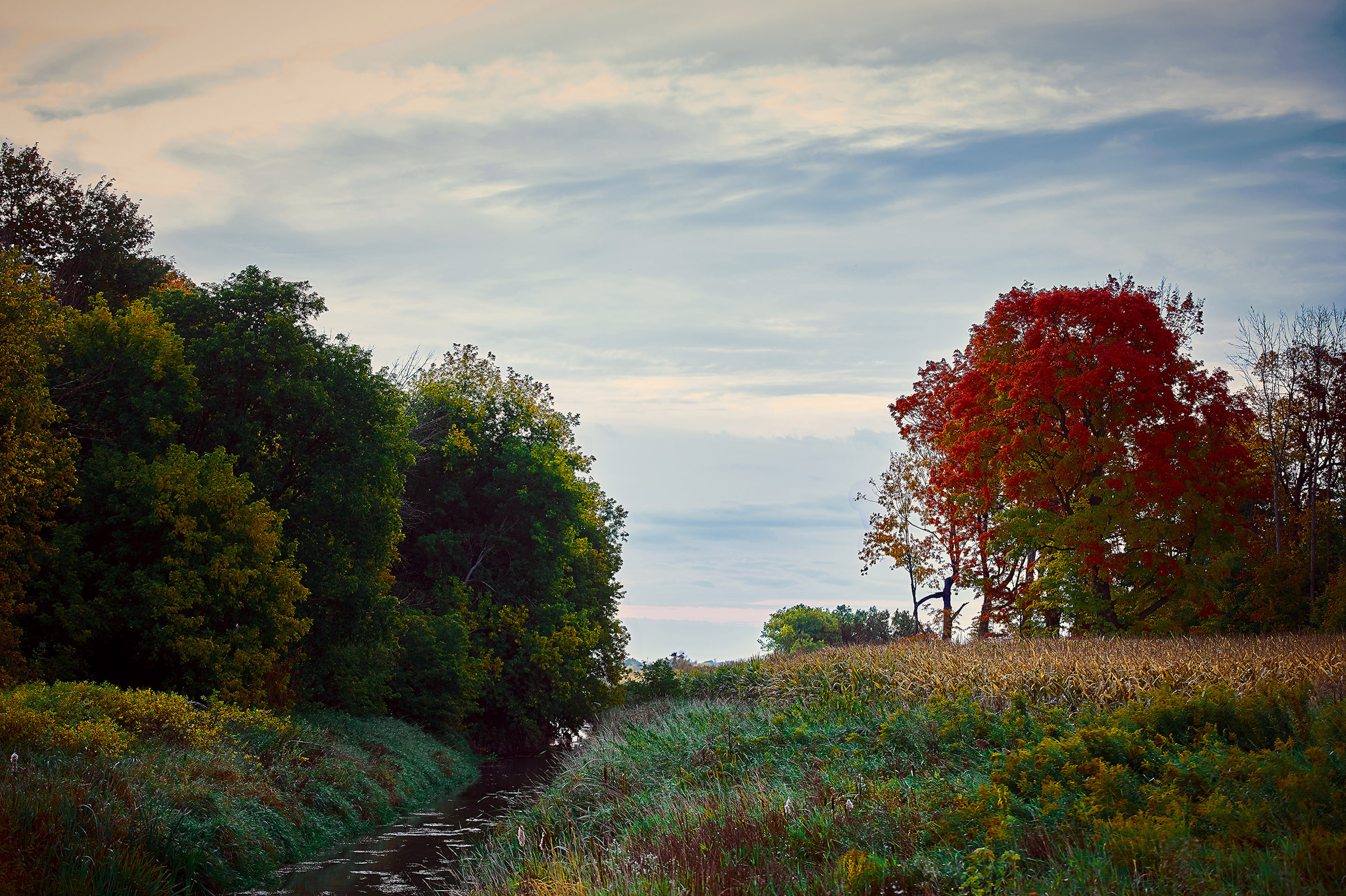
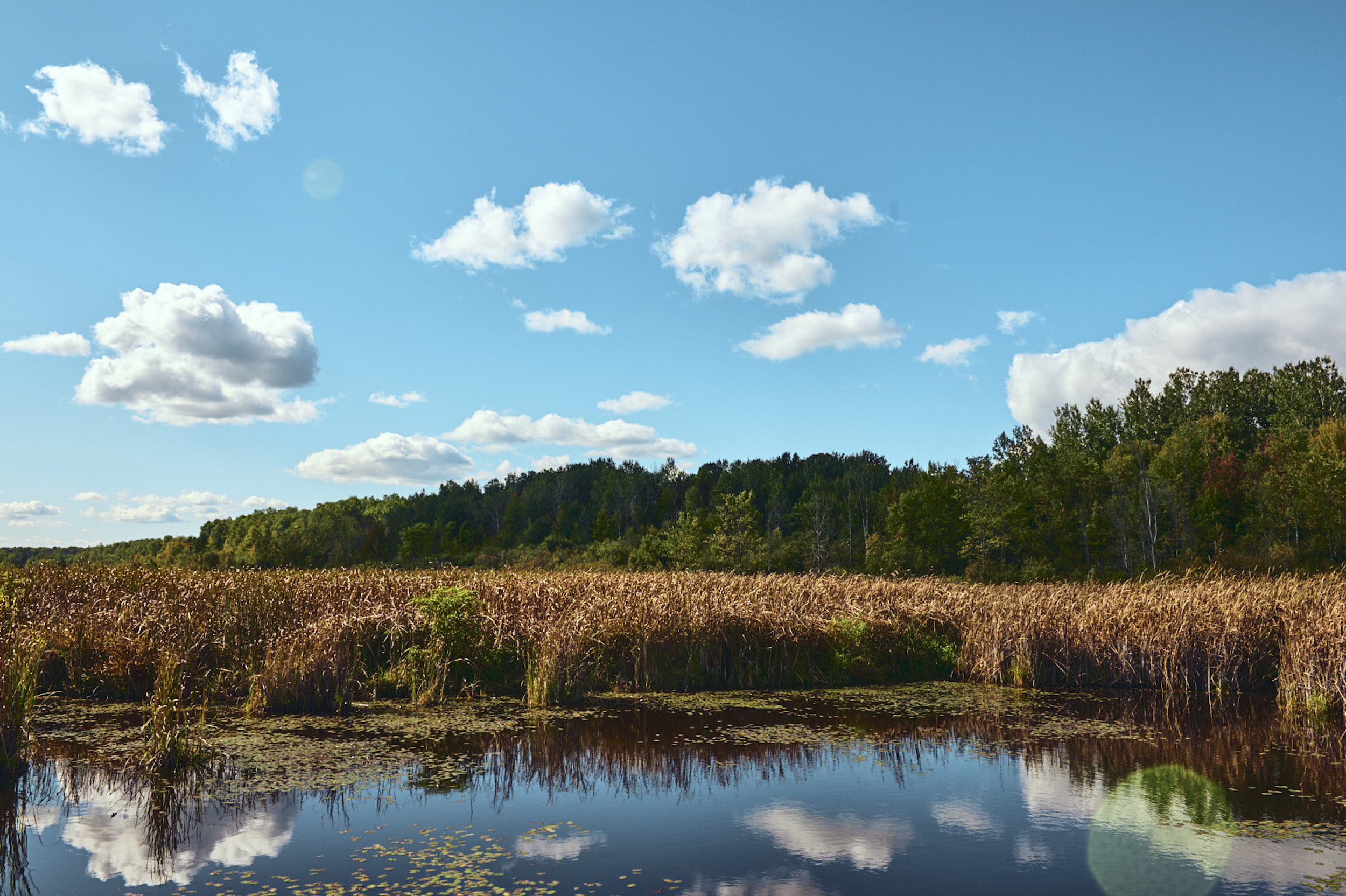
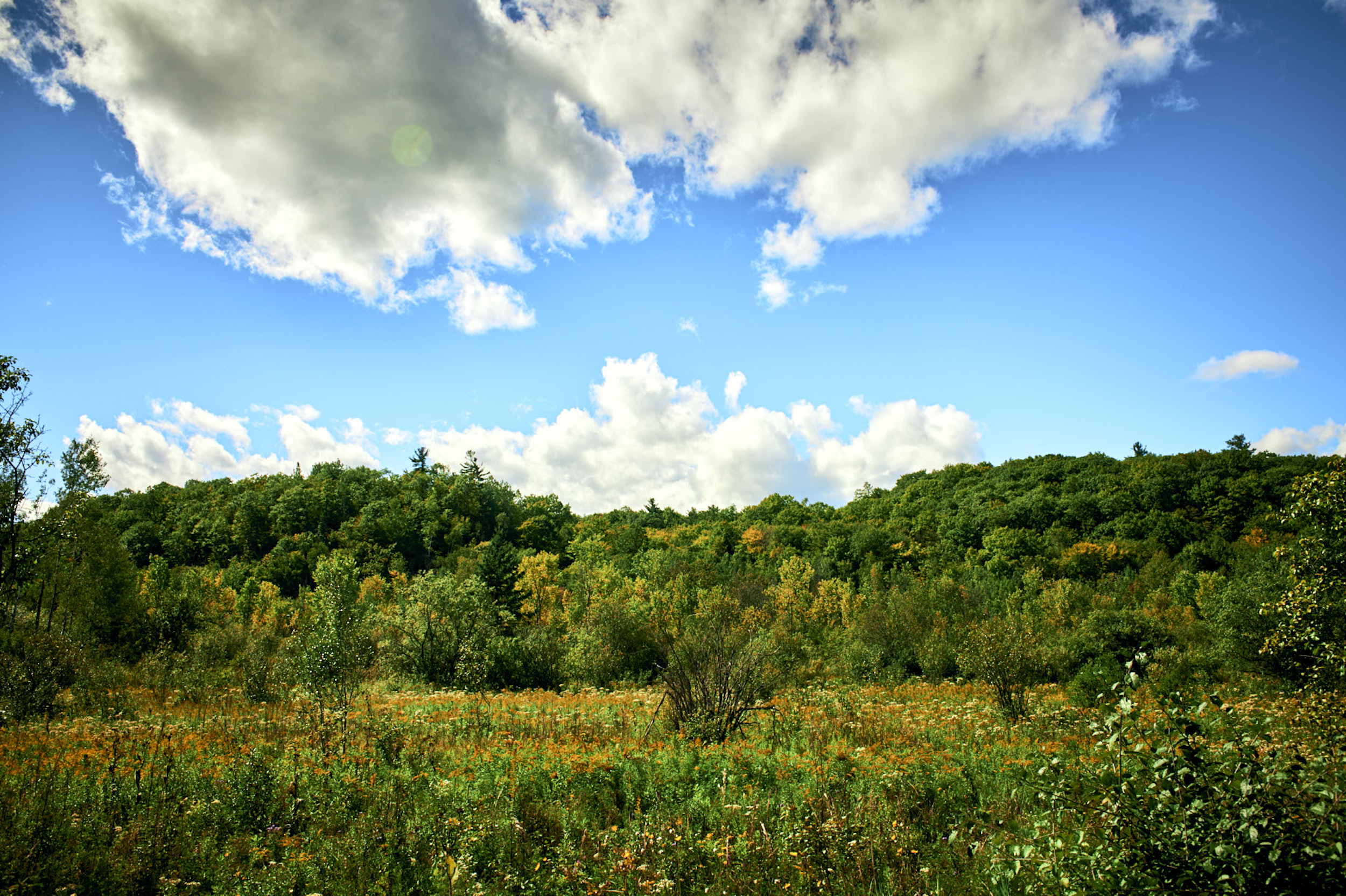
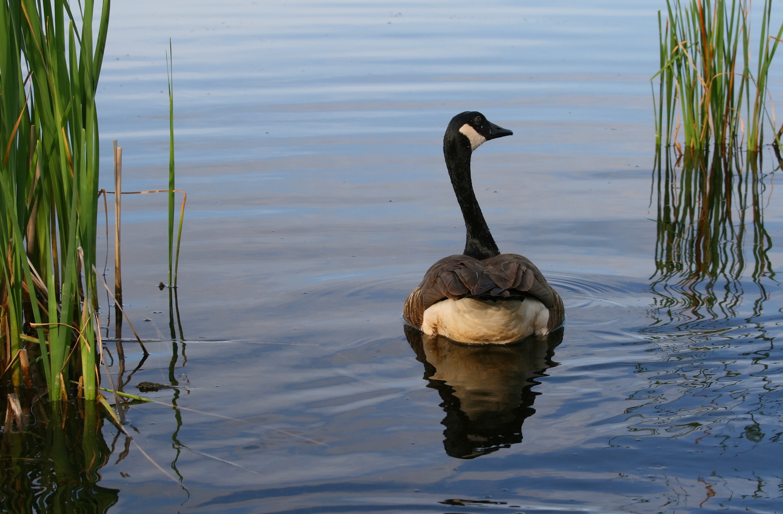
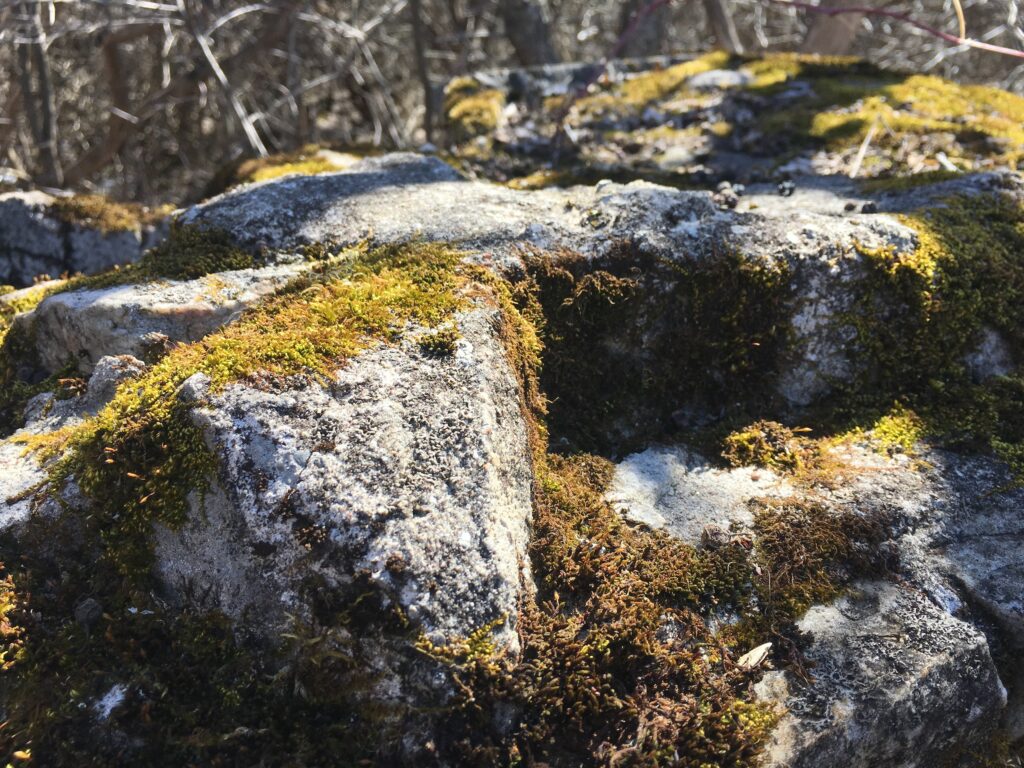
As with the rest of Ottawa, the Greenbelt is on unceded Anishinaabe Algonquin territory. It’s host to all sorts of outdoor recreational activities, seeing more than 3.5 million visitors each year. It also contains sensitive natural areas like wetlands, forests and streams, as well as rural farms and even a sand dune. The Greenbelt is also home to an array of species including the golden northern bumble bee, northern goshawk, muskrat and cattail sledge plant.
“The climate and ecosystem services that an area like the Greenbelt provides are huge for a city like Ottawa in terms of flood mitigation or drought mitigation, climate resiliency in terms of adapting to any number of things and just temperature regulation,” John McDonnell, executive director for the Canadian Parks and Wilderness Society, Ottawa Valley Chapter, said.
“I mean, there’s huge value in that.”
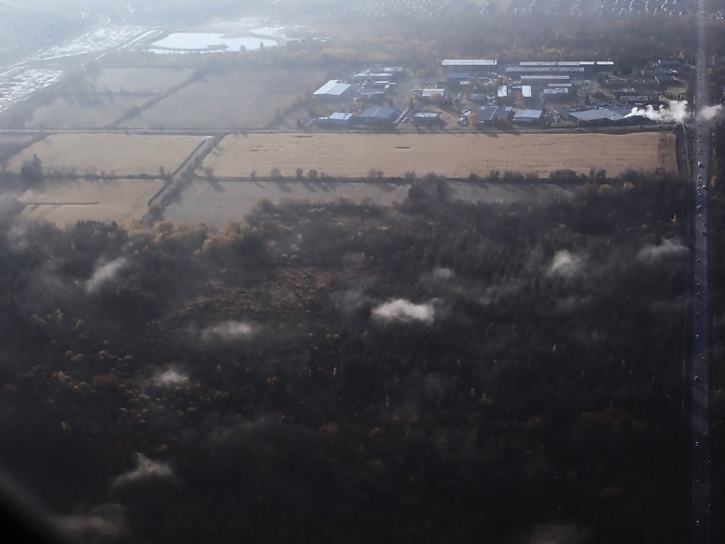
But unlike a national park or the Greenbelt in southern Ontario, Ottawa’s Greenbelt isn’t covered by legislation that protects it from development. There are already schools, churches and golf courses within its borders, and more than 1,000 people live there on land leased from the government. There’s also the Nepean Sportsplex, the Queensway-Carleton Hospital, the Ottawa-Carleton Detention Centre and the Ottawa Macdonald–Cartier International Airport — and Ontario’s growing population means that development pressures are only increasing.
Right now, Ottawa is undergoing its biggest public transit project ever, with the building and expansion of a light-rail transit system. There’s also a proposed expansion of a road and the building of a bus transitway in the city’s east end, through a wetland bog. These projects have convinced conservationists of the need for more solid environmental protections for the Greenbelt, and some are clamouring to designate the land as a national urban park.
Here is everything you need to know about the Ottawa Greenbelt and what is at stake for its future.
How did the Ottawa Greenbelt come to be?
The Ottawa Greenbelt was established in 1950 in the Gréber Plan, named after Jacques Gréber, the Parisian architectural planner of the national capital. It set out development of the capital region for the next 50 years. The Greenbelt was meant to act as a limit on urban expansion, protecting natural areas and designating lands for agriculture. According to the National Capital Commission, the Ottawa Greenbelt is one of the largest and most contiguous greenbelts in the world, and the only one that’s (almost) entirely publicly funded.
The Gréber Plan established the limits of the Greenbelt to include space for institutional buildings, then and in the future. At the time, the federal government did not have enough local support to officially zone the Greenbelt, so it began buying land in 1958. Most of the lands were purchased for about $40 million in 1966, with roughly 40 per cent acquired through expropriation.
By 1970, the Greenbelt’s environmental significance had been recognized, and steps were taken to protect Mer Bleue Bog, a 3,500-hectare natural wetland, and Stony Swamp, one of the most ecologically diverse areas in the region. But Gréber’s idea that the Greenbelt would act as a check on urban growth bumped up against a burgeoning population: as the communities of Kanata, Barrhaven and Orleans grew on the outside of the green horseshoe, roads and services were built through it, including Highway 417 east towards Montreal and Highway 416.
In 1985, the National Capital Act gave the National Capital Commission federal authorization to manage the Greenbelt and in 1996 the commission created the first Greenbelt Master Plan. It’s most recent plan, from 2013, is set to be reviewed this year.
Don Herweyer, interim general manager for planning, real estate and economic development at the City of Ottawa said the city works in cooperation with the commission, taking its lead on management and development in the Greenbelt.
He said the city’s official plan reflects the federal Greenbelt plan: while both outline the area’s legal boundaries, a description of its actual physical boundaries is hard to find. Herweyer describes the Greenbelt as “a u-shaped area that extends south from the Ottawa River in the east and west separating the oldest part of the City of Ottawa from its suburban communities and rural area.”
Today, the commission owns and manages 75 per cent of the land, or 14,950 hectares, in the Greenbelt. Most of the rest is managed by other federal agencies, with five per cent being locally or provincially managed roads.
The Ottawa Greenbelt is important for protecting endangered species, wetlands and bird migration paths
The Ottawa Valley Chapter of the Canadian Parks and Wilderness Society, or CPAWS, acts as a community-based voice on wilderness issues in the national capital region. McDonnell said the group’s main role is to be the Ottawa Greenbelt’s advocate to the city and National Capital Commission.
“The Greenbelt is interesting because not only does it provide access to nature for a lot of people, but it also provides important linkages for the movement of species through the region and particularly in and around Ottawa,” McDonnell said.
“During a time of climate change, we know that species will need to migrate to adapt to changing conditions, and so having these connections are vital.”
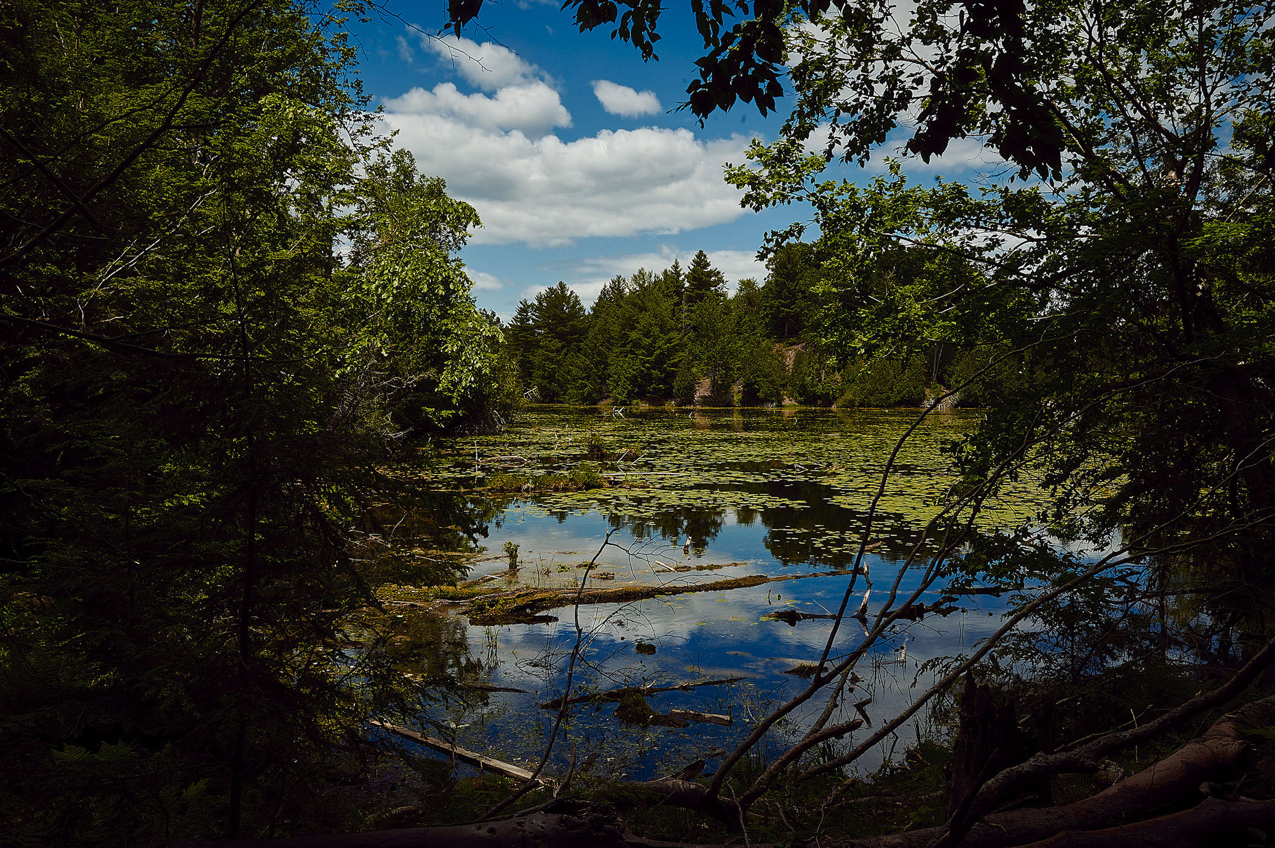
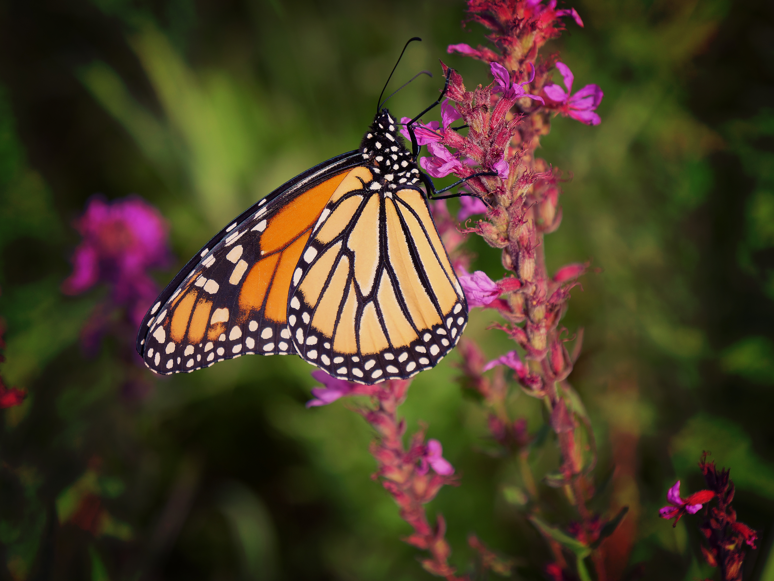
Users of the nature app iNaturalist have logged sightings of nearly 3,000 species in the Ottawa Greenbelt. The commission’s biodiversity monitoring program has documented 35 species at risk there, including snapping turtles, monarchs, bobolinks and least bitterns. Shirley’s Bay on the northwestern edge of the Greenbelt is a significant route for bird migration, with over 270 bird species being spotted over the years. In particular, the commision notes, the bay is an important migration gateway for arctic and boreal birds.
On the eastern side, the provincially significant Mer Bleue Bog is home to abundant plants, birds and wildlife. “It’s the most biodiverse area in eastern Ontario,” McDonnell said. “It’s a representative of the type of peat bog that you would find in northern Canada and it’s a remnant of the retreating of the glaciers,” making it a very rare, functioning wetland.
Since 1995, Mer Bleue has been recognized as a “wetland of international importance” by the United Nations Ramsar Convention on Wetlands. The bog mitigates both floods and droughts and harbours several species at risk, including a population of endangered spotted turtles.
“It’s diverse, it’s very rich, but it’s very fragile as well,” McDonnell said.
Road and transit expansion are currently the Ottawa Greenbelt’s most pressing threats
The Mer Bleue Bog is especially threatened by current proposals for transportation infrastructure: the extension of Brian Coburn Boulevard and the building of the Cumberland Transitway, a dedicated busway.
Both projects date back to 1999, when a growing population led to an environmental assessment of the bog as a site for a new transit corridor and a new road. Sections of Brian Coburn Boulevard, previously known as the Blackburn Bypass, were constructed just outside the Greenbelt, finishing in 2013, while the transitway has yet to be constructed. In 2017, after receiving permission from the National Capital Commission, Ottawa began a new environmental assessment for both projects, which would go through the Greenbelt.
In 2019, four out of seven potential locations were short-listed. The city then used four criteria — transportation, natural environment, social/cultural environment and cost — to make its final choice. The route it picked ranked first in all criteria except for “natural environment:” originally option seven, the route had the lowest cost but would have a significant impact on the Greenbelt, requiring the most widening of an existing road and the extension of two existing watercourse crossings. Ottawa presented this option to the public in June 2021.
But the commission prefers two different options — options one and four, both of which would have relatively low impact upon the Greenbelt’s core natural areas and require only one new watercourse crossing, but were of moderate cost. Option four also had more impact on the local community. Maryam El-Akhrass, a spokesperson for the National Capital Commission, told The Narwhal the commission is currently working with the city “to find suitable measures to limit the environmental impact on the Greenbelt.”
Heweyer also said discussions between the city and the commission are still ongoing. He said that all route options would impact the Greenbelt to some degree, since to avoid it entirely, “you’d have to go south — you’re talking a long way south — and it really wouldn’t service that area anymore if you did that.”
The Ottawa chapter of the Canadian Parks and Wilderness Society has been an avid opponent of the Brian Coburn Boulevard and Cumberland Transitway projects and its online petition against the project has over 5,000 signatures. McDonnell said the Mer Bleue sector of the Greenbelt is already heavily fragmented by roads and is unable to support another.
“At the end of the day, it’s a six-lane highway, and it would cause irreparable harm to Mer Bleue, just given the proximity, with things like road salt, impact on wildlife movements,” he said. “If there were ever to be a spill of a tanker or something like that on that road, that would be a disaster.”
Even the wilderness society accepts that the Greenbelt’s u-shape around the city means that some construction through it is unavoidable. But McDonnell would like to see better protection for wildlife in the area. He said the National Capital Commission has done such protective measures in the past: when Hunt Club Road was expanded around Stony Swamp, for example, it mandated underpasses and fences to keep animals off the road.
The wilderness society has also recommended the city make use of existing roads, like the Blackburn Hamlet Bypass about 100 metres north of the proposed route, which is what would be widened if one of the commission’s preferred routes were chosen.
The group would also prefer the city add on to the light-rail transit expansion crossing the Greenbelt in the west, east, and south ends of the city rather than building a new bus corridor. The approved light-rail expansion is in phase two of construction and will add 44 kilometres of new rail and 24 new transit stations. The southern extension to the airport is set to be finished later in 2023 and the total project by 2025.
“The city is spending a whole lot of money on [light-rail transit] and so it doesn’t make sense to be building roads at the same time,” McDonnell said.
Natural disasters, such as last year’s derecho, are another worry
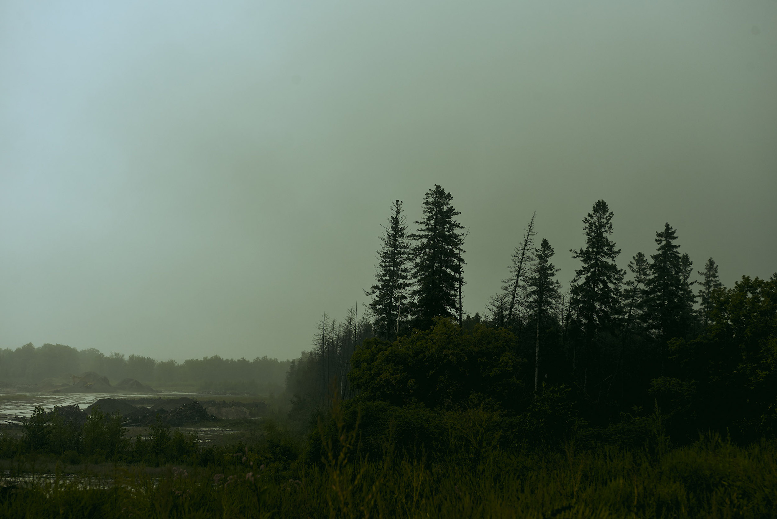
Urban development is not the only threat. The derecho that ripped through southern Ontario last May, with winds clocked by Environment Canada at over 130 kilometres an hour, caused significant damage to the Ottawa Greenbelt’s forest canopy and natural areas. The National Capital Commission said the storm was at least as severe as if not more so than the 1998 ice storm, which killed 35 and injured over a thousand people throughout eastern Ontario and southern Quebec.
“Hundreds of thousands of trees were impacted, especially in the Pine Grove, Southern Farm and Pinhey Forest sectors of the Greenbelt,” El-Akhrass said. “We estimate that we have lost approximately 70 per cent of the upper canopy layer in these areas, which cover about 2,700 hectares of land. The storm also left its mark on large parts of the Mer Bleue and Stony Swamp sectors.”
El-Akhrass said mature trees were uprooted and will take years to regenerate, affecting their ecological benefit, “including carbon storage, moderating local climate by providing shade and regulating temperature extremes.” She added the storm’s profound impact on the Greenbelt will be felt for years to come and numerous species will need to “adjust their behaviour and demonstrate their resiliency.”
McDonnell said the storm demonstrates the impact of climate change on a fragile ecosystem like the Greenbelt and more violent storms of the same nature are likely to occur in the future.
“It demonstrates the need for large conserved areas because a storm like this can wipe out a fairly substantial section of it,” McDonnell said. “Nature’s great, it will recover on its own, but in the meantime, species will be told to relocate elsewhere.” He added it is fortunate there was not more fragmentation to the impacted areas otherwise wildlife would have had nowhere to go.
The National Capital Commission is at the beginning of its process for the natural restoration of the Greenbelt, preparing long-term recovery plans that include debris management and tree planting. However, “it will take time to see a significant difference in the landscape,” El-Akhrass said.
El-Akhrass said there have already been signs of recovery, like a population of specialized woodpeckers that appeared after an increase of native insects ate dead or dying coniferous trees.
“For the first time since 2014, American three-toed woodpeckers have been seen in the Greenbelt,” she said.
Will the policy changes in Ontario’s Bill 23 affect the Greenbelt?
Last November, the provincial government passed Bill 23, the More Homes Built Faster Act, making sweeping changes to development policy across Ontario, including the weakening or elimination of much environmental oversight of development applications. Bill 23 has a number of provisions that will likely make future encroachments on Ontario’s protected green spaces easier — the legislation that protects wetlands such as Mer Bleue Bog at the provincial level was also significantly weakened.
The Doug Ford government has also made the controversial decision to open parts of the provincially managed Ontario Greenbelt in the southern part of the province to development.
But, as Heweyer pointed out, Bill 23 does not have any direct impacts on the Ottawa Greenbelt because of the lands’ federal status. Still, there is the possibility of indirect impacts on the Greenbelt from future construction of provincial infrastructure, such as transit corridors or road widening. Heweyer said he is unsure how the municipal, provincial and federal governments would handle it if the province were to move to use Bill 23 to develop any part of Ottawa’s Greenbelt.
Canada is the “landowner and a superior level of government,” he points out: it could use its muscle to impose its will, just as the province is using Bill 23 to override municipal governments’ planning and zoning choices. “I’d like to think that wouldn’t happen but who knows what could happen in the future,” Heweyer said, adding that the city and federal government have a good relationship when it comes to figuring out zoning for building infrastructure and services.
The National Capital Commission told The Narwhal that the National Capital Act means Bill 23 will have no impact on its mandate to “prepare plans for and assist in the development, conservation and improvement of the National Capital Region.”
Would national park status give the Ottawa Greenbelt better protection?
McDonnell and the rest of the Ottawa Valley Chapter of the Canadian Parks and Wilderness Society have been pushing for the federal government to designate the Ottawa Greenbelt as a national urban park. McDonnell said this status would provide greater protections against development, creating more requirements to manage the area for ecological integrity and biodiversity.
“Right now, it’s just a big piece of federal land. Nobody really knows where the boundaries are … it’s just sort of empty land,” McDonnell said.
“So, it makes sense that people would wonder, well, why aren’t we developing that?”
The society raised the issue during last fall’s municipal election and has also had meetings with the commission, Minister of the Environment and Climate Change Steven Guilbeault and Parks Canada. It is circulating a new petition with its suggestion.
In December 2021, Guilbeault’s official mandate letter set the objective of creating a network of national urban parks across Canada, one in each province and territory “with a target of 15 new urban parks by 2030.”
Nadia Khaireddine, a spokesperson for Parks Canada, told The Narwhal the federal agency aims to designate six parks by 2026 and is developing a new national urban parks policy to guide their creation. She said the agency has heard from many people about potential sites across Canada, “including in the national capital region, but an official intake process has not yet begun.” She added that the agency would consider “the site’s potential for protecting nature, connecting Canadians with nature and advancing reconciliation with Indigenous peoples.”
Having a national urban park 10 minutes from Parliament Hill, McDonnell said, would “demonstrate [Canada’s] conservation leadership to Canadians and to people visiting from other parts of the world.”
“The status of national urban park would help elevate the Greenbelt, give it the importance that it deserves.”