


As river levels rose, the people of Grand Forks, B.C., pulled together.
In the parking lot of the local arena, volunteers worked side by side in the hot sun, shovelling sand into as many bags as they could. They stacked them in protective barriers around the storefronts and homes that were about to be inundated. And, when there was nothing more they could do to stop the muddy water from drowning their front lawns and pooling in their kitchens, some families moved in with their neighbours.
“It was the people of the community who came together and helped each other out,” said Jennifer Houghton, whose home was swamped by more than a metre of water in that 2018 flood.
There was no physical distancing, no two metres apart.
Now, in the midst of the COVID-19 pandemic, the small Kootenay city could flood again. Grand Forks isn’t alone. Communities right across the country, from New Brunswick to B.C., could face two crises at once this spring.
“The only thing worse than a pandemic is a pandemic and a flood.”
Floods, like wildfires, are becoming more frequent and intense in some regions. That’s why climate change is often called a “threat multiplier” — it can make a bad situation worse.
And, “the only thing worse than a pandemic is a pandemic and a flood,” said John Pomeroy, Canada Research Chair in Water Resources and Climate Change based at the University of Saskatchewan.
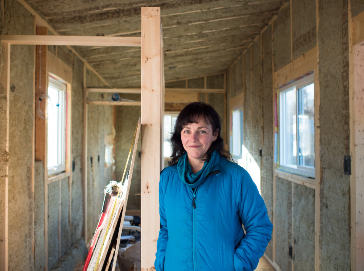
Grand Forks resident Jennifer Houghten in an unfinished tiny home in 2018. Believing her main house, which flooded in both 2017 and 2018, would inevitably flood again, she decided to invest in a home that can be moved to avoid water damage. Photo: Louis Bockner / The Narwhal
Flood risk heightened in some areas
The flood risk is considered high in some areas of the province where the snowpack is well above normal, said Jonathan Boyd, a hydrologist with B.C.’s River Forecast Centre.
Based on the centre’s most recent Snow Survey and Water Supply Bulletin, Prince George, Kamloops and Grand Forks are all areas to watch.
While Boyd said the snowpack around Grand Forks isn’t as high as it was in April 2018 when the deluge hit, snow levels are just one factor in a flood. How it melts depends on the weather.
“What happened in 2018 at Grand Forks was exactly the worst-case scenario, where April was cold and continued snow accumulation and then we flipped to really hot weather,” he said. And, then the rain came.
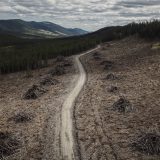
High-level clear-cut logging, increased wildfires and a pine beetle epidemic have also been identified as culprits in the 2018 flood.
Sprawling clearcuts among reasons for B.C.’s monster spring floods
In B.C., rain has become a growing factor in flooding, according to Pomeroy. Areas that used to flood when the snow melted are now flooding when it rains on snow, while areas that used to flood when it rained on snow are flooding from rain alone.
These shifting patterns are making it more challenging to calculate the flood risk, he said.
With further climate change, Pomeroy said there are more frequent and more intense rainfall events and they’re lasting longer than they used to.
“In general, this is increasing flood risk and the risk of multiple flood events in a region because of persistence in extremely wet conditions,” he said. “You can see that in some of the data for British Columbia as well.”
Two crises at once
It’s been two years since the Grand Forks flood and Houghton, who made a documentary about the impact it had on the city, said some people in the community are still struggling financially.
“They weren’t able to restart their businesses, they weren’t able to rebuild their homes, they’re still in despair,” she said.
Now she’s worried about what it could mean if the community has to face another flood on top of the pandemic. And she wants to know the plan for flood preparation in the era of physical distancing.
“Sandbagging isn’t something you can do with one person,” she said. “You do it in a chain, you hand sandbags to each other, you’re all touching the same thing, you’re all very close together.”
Jean Slick, head of Royal Roads University’s disaster and emergency management program, said it’s a matter of adapting existing flood response plans for the pandemic.

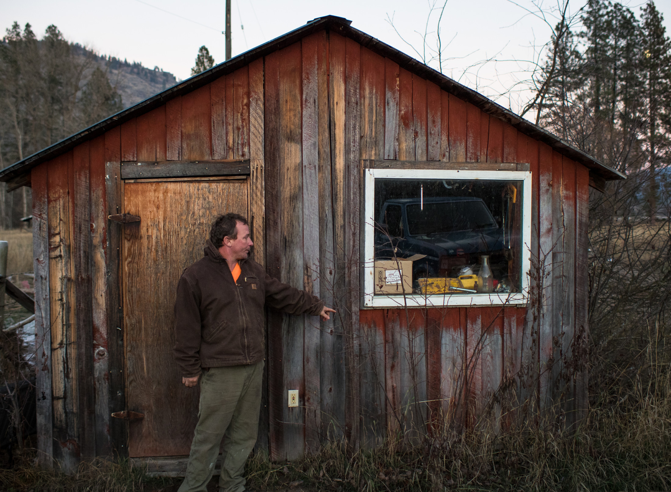
Sandbags surround a house that was deemed unsafe for habitation in the neighbourhood of South Ruckle in Grand Forks after the 2018 spring flood. Photo: Louis Bockner / The Narwhal
That may mean setting up virtual emergency operation centres and making sure you have back-ups in place in case emergency responders or volunteers fall ill. It means adapting sandbagging efforts to reduce the risk of spreading the virus and finding ways to house displaced families that respect the need for physical distancing.
“The benefit of an emergency management organization is that you have a culture and a way of thinking that is conducive to creative problem-solving to deal with these kinds of things,” Slick said.
“It makes it more complex, but it also shows you how we can adapt and be resilient.”
In a statement, a spokesperson for Emergency Management BC said “the current pandemic will make the work of emergency managers more challenging, as it has in all aspects of our society.”
But measures are being taken to adapt. New sandbagging procedures have been established so people can keep more distance from each other, sandbags and other flood control assets have been pre-positioned in at-risk communities and a new tool for electronic evacuee registration has been developed.
Grand Forks Mayor Brian Taylor said there is potential for flooding to be a problem in his community if they get a combination of rain and warm weather toward the end of April and in early May.
Officials are closely monitoring the snowpack and the water levels so they’ll know this time if there’s high water coming well before it hits, he said.
“I know there is some anxiety out there, people are expecting to see bulldozers building dikes,” he said. “We are doing everything we can within the authority to move forward that we have.”
After the 2018 flood, the city strengthened some of its existing dike infrastructure and developed a controversial plan to expropriate dozens of homes and return the area to a floodplain as part a longer-term flood adaptation strategy. The plan also involves building new dikes and other flood infrastructure.
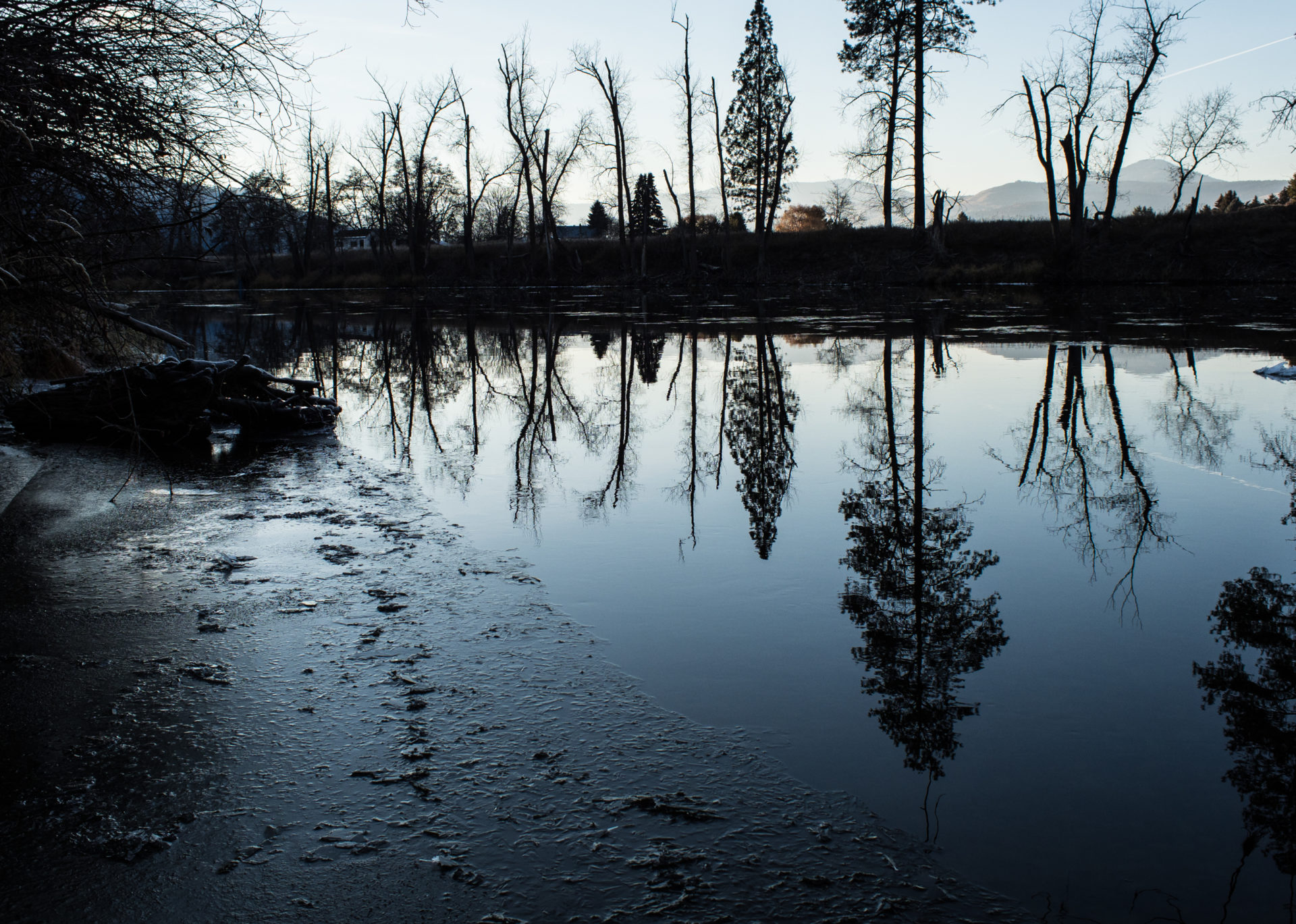
The Kettle River rose dramatically in the spring of 2018, causing severe flooding in the Grand Forks valley. The river is pictured here during a subsequent drought that resulted in very low water levels. Photo: Louis Bockner / The Narwhal
While the city is moving forward with the permitting process for the new infrastructure, Taylor is concerned the pandemic could make it more difficult to bring in equipment and get contractors to work when it comes time to start building.
For now, the city is working with the province and regional district to make sure they have tiger dams, sandbags and pumps in place in case the water levels start to rise, Taylor said, adding that multiple sandbagging locations are being set up this year rather than one or two central locations to help maintain physical distancing.
Elsewhere in Canada, communities are facing the same possible crisis. Peace River, Alta., declared a local state of emergency over the weekend due to flooding from a suspected ice jam.
The Village of Gagetown in New Brunswick began bracing for high water last week.
Marian Langhus said she and her husband were concerned about having to move into a hotel and use a common elevator during the pandemic if they were forced to evacuate from the bed and breakfast they own on the bank of the Saint John River.
Gagetown had exceeded the flood stage in mid-April, but so far, Langhus’s home is safe. After flooding three years in a row, “We were due for a break,” she said.
Grand Forks residents prep for winter in sheds, RVs after catastrophic flooding
Like what you’re reading? Sign up for The Narwhal’s free newsletter.