


Canada has just seven and a half years to protect more than 15 per cent of lands and oceans to meet its 2030 conservation commitments and help stem the global tide of biodiversity loss.
A new report from the Canadian Parks and Wilderness Society (CPAWS), published Thursday, shows it’s an achievable target — if currently proposed conservation areas are approved.
“Indigenous governments across Canada have consistently stepped forward with leading-edge landscape and seascape-level plans and initiatives to conserve their traditional territories,” the Roadmap to 2030 report says.
Now, “provincial and territorial governments will need to step up,” it says.
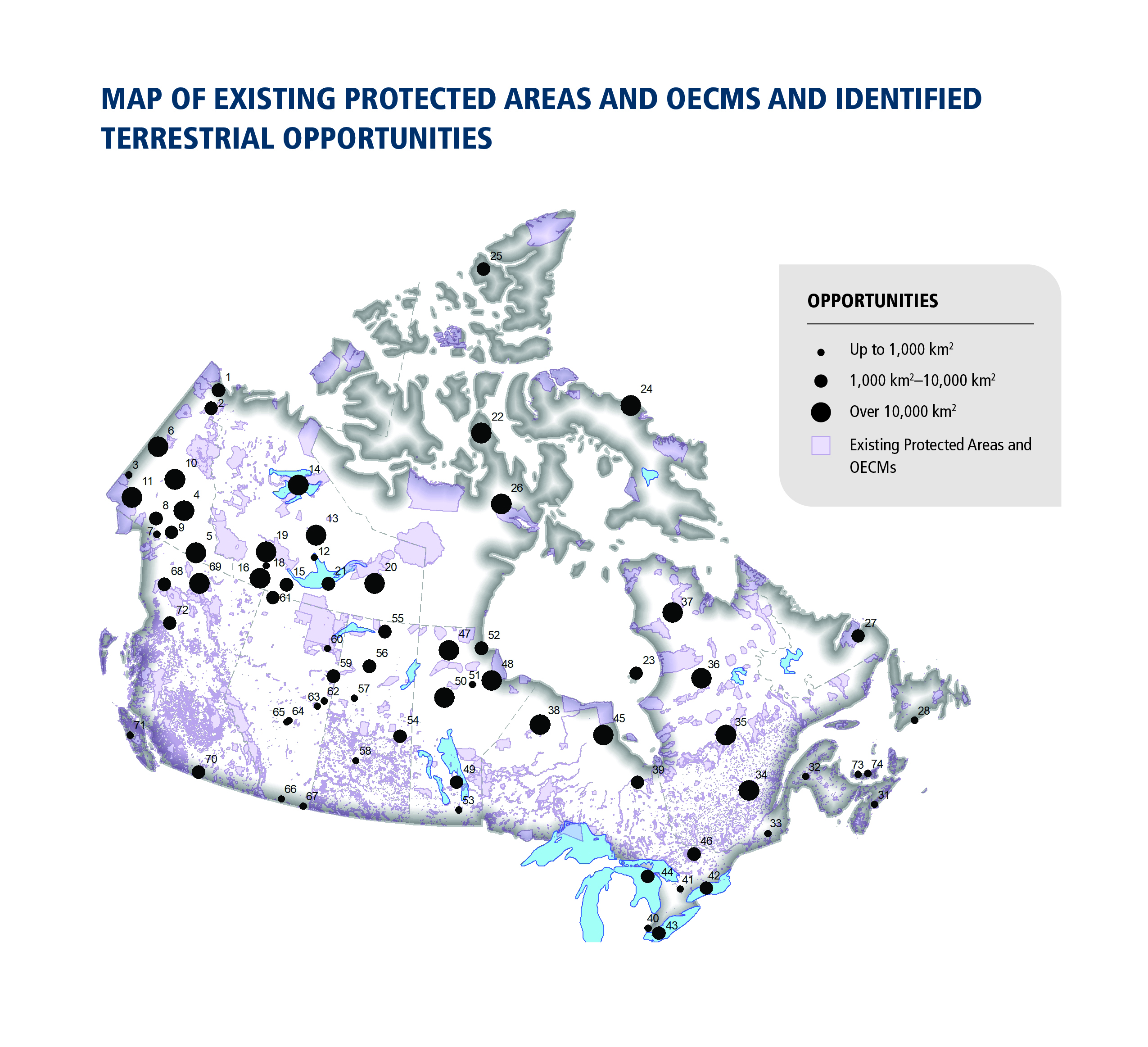
Right now, 12.6 per cent of land and nine per cent of marine areas in Canada are covered by existing protected areas, the report says. Another 0.9 per cent of land and 4.9 per cent of oceans are covered by other measures — though the report notes there are concerns about the quality of those protections.
Canada, and almost 100 other countries have committed to protecting 30 per cent of the world’s land and oceans by 2030 under the High Ambition Coalition for Nature and People. The target was also included in the first draft of the post-2020 global biodiversity framework released last summer. The framework, still under negotiation, could be adopted later this year at the UN Biodiversity Summit in Kunming, China.
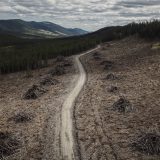
As people built cities and towns, connected them with vast road networks, and logged huge swaths of forest, we also damaged vast ecosystems and divided vital habitats that support diverse communities of plants and animals.
Now, in the midst of a biodiversity crisis driven by habitat loss and made worse by climate change, protecting large, interconnected areas is crucial.
These habitats and the wildlife they support have inherent value. As the report notes, they also provide services people rely on, such as the water we drink, the air we breathe and the medicine we take when we’re sick.
Conservation isn’t just a numbers game.
“There is also clear evidence that focusing only on how much area should be protected is not enough to deliver conservation outcomes and other societal benefits,” the report says.
“The quality of protected areas is just as important, as well as ensuring the areas are effectively connected as conservation networks and that land and ocean areas outside protected areas and [other effective area-based conservation measures] are managed sustainably,” it says.
With that in mind, CPAWS has identified a series of proposed protected areas that could help achieve Canada’s conservation target by 2030. For some, planning processes are already underway. Others are Indigenous-led conservation initiatives that have yet to find support at the provincial government level.
Here are five of the proposed protected areas that could help ensure 30 per cent of lands and oceans in Canada are protected by 2030.
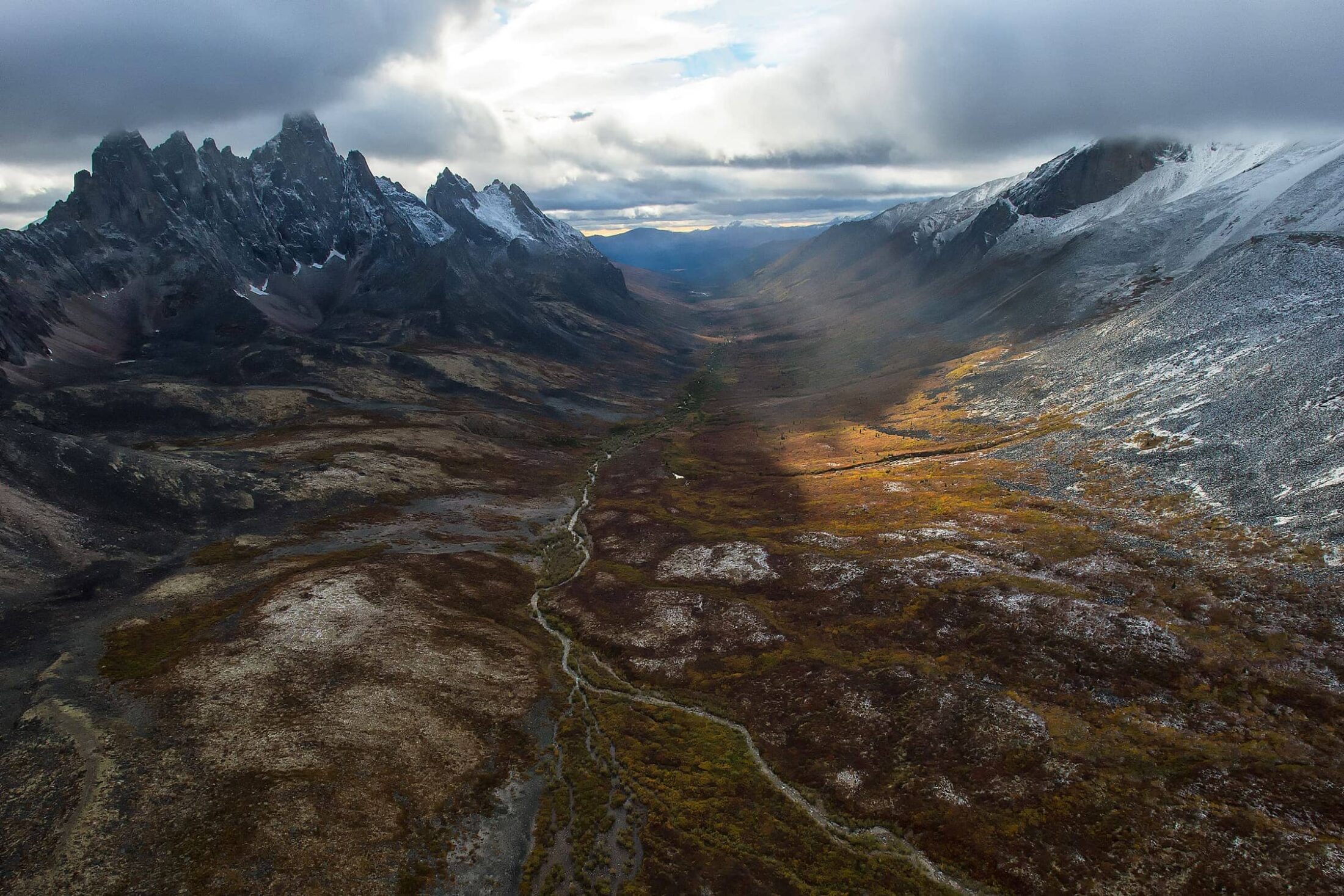
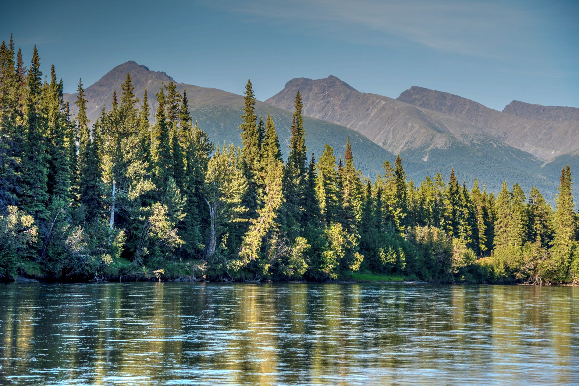
1. Dawson land use plan could see 15,000 square kilometres protected in the Yukon
The Yukon is leading all other Canadian provinces and territories when it comes to conservation, with 19.1 per cent of lands in the territory protected, the CPAWS report says.
The Dawson land use planning process, currently underway, could see at least another 15,000 square kilometres protected in the traditional territory of the Trʼondëk Hwëchʼin First Nation, the report notes.
Land use planning processes in the Yukon are governed by Final Agreements. Often called modern treaties, these are constitutionally protected agreements between each of eleven First Nations governments and the federal and territorial governments.
According to the CPAWS report, one of the key challenges for land use planning in the territory is a lack of long-term federal funding to support the processes.
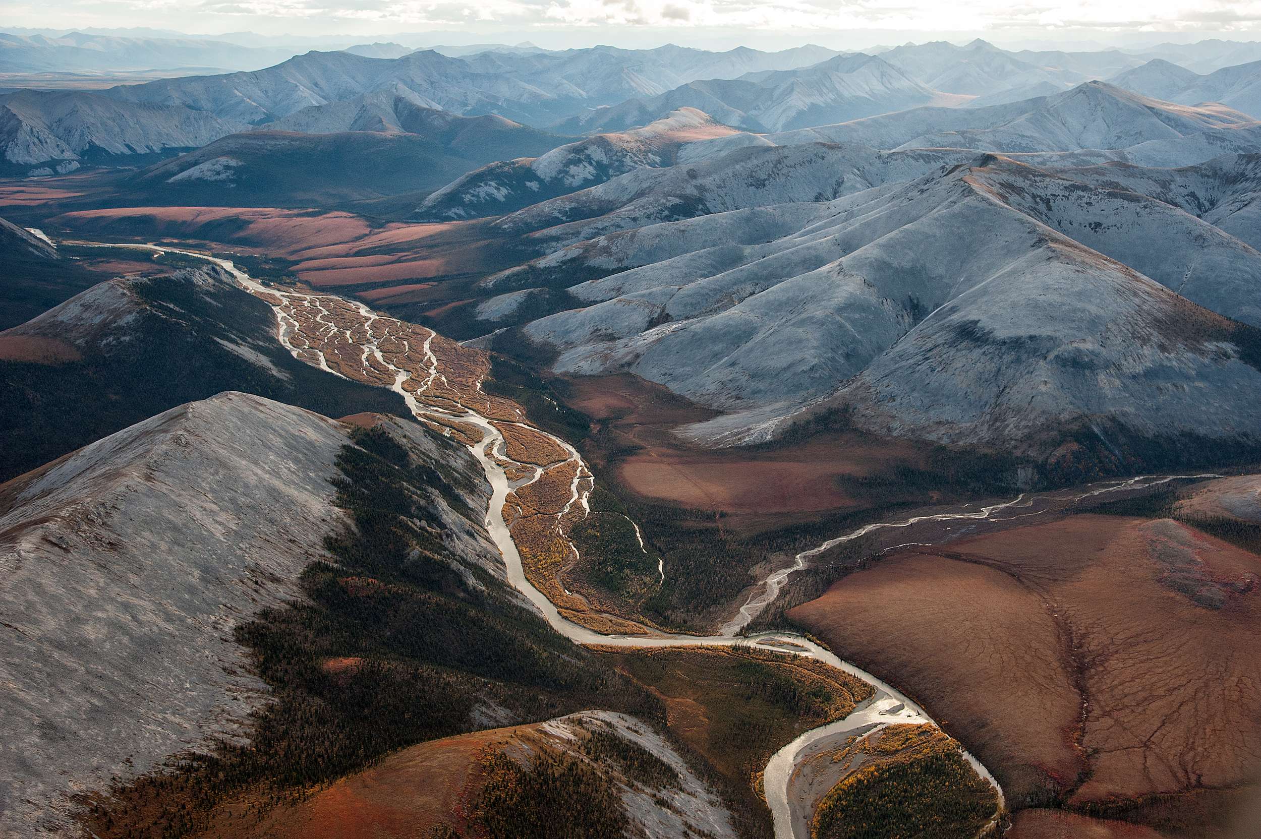
2. Kaska Dena call on B.C. government to support proposed Dene K’éh Kusān
In B.C., 15.5 per cent of the province is covered by protected areas. Another 4.1 per cent is managed through “other effective area-based conservation measures,” but the CPAWS report raises concerns that they fail to meet international or Canadian standards for protection.
The report notes there are several Indigenous-led conservation initiatives, which taken together could increase protected areas in B.C. by some 85,000 square kilometres.
Among them is a Kaska Dena proposal for the Dene K’éh Kusān Indigenous Protected and Conserved Area, which would protect 40,000 square kilometres in northern B.C.
A key challenge, however, is a lack of political will from the provincial government to create new protected areas, the CPAWS report says. It urges the government to engage more with First Nations on Indigenous-led protected area initiatives.
3. Ontario government urged to stop logging in Algonquin Park
About 10.7 per cent of Ontario is protected, the CPAWS report found.
But there are plenty of opportunities to increase conservation in the province, including by stopping commercial logging in Algonquin Park, where old growth trees are at risk.
In Ontario, a key challenge is that the provincial government has pushed for development and rolled back support for conservation initiatives.
CPAWS is also urging the Ontario government to “support Indigenous-led conservation in northern watersheds and the Hudson Bay Lowlands.”
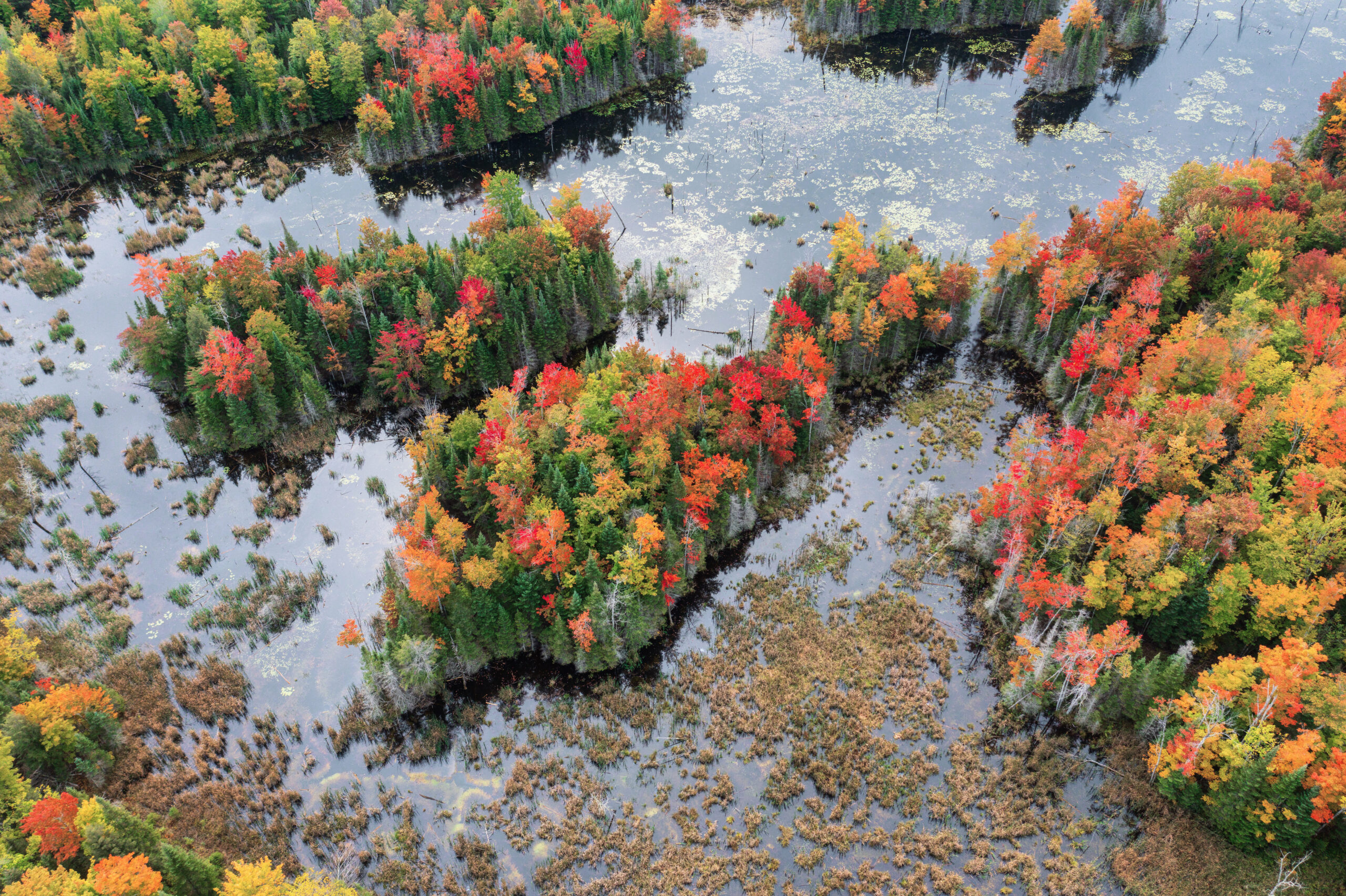
4. Protection of endangered caribou, western chorus frog habitat urged in Quebec
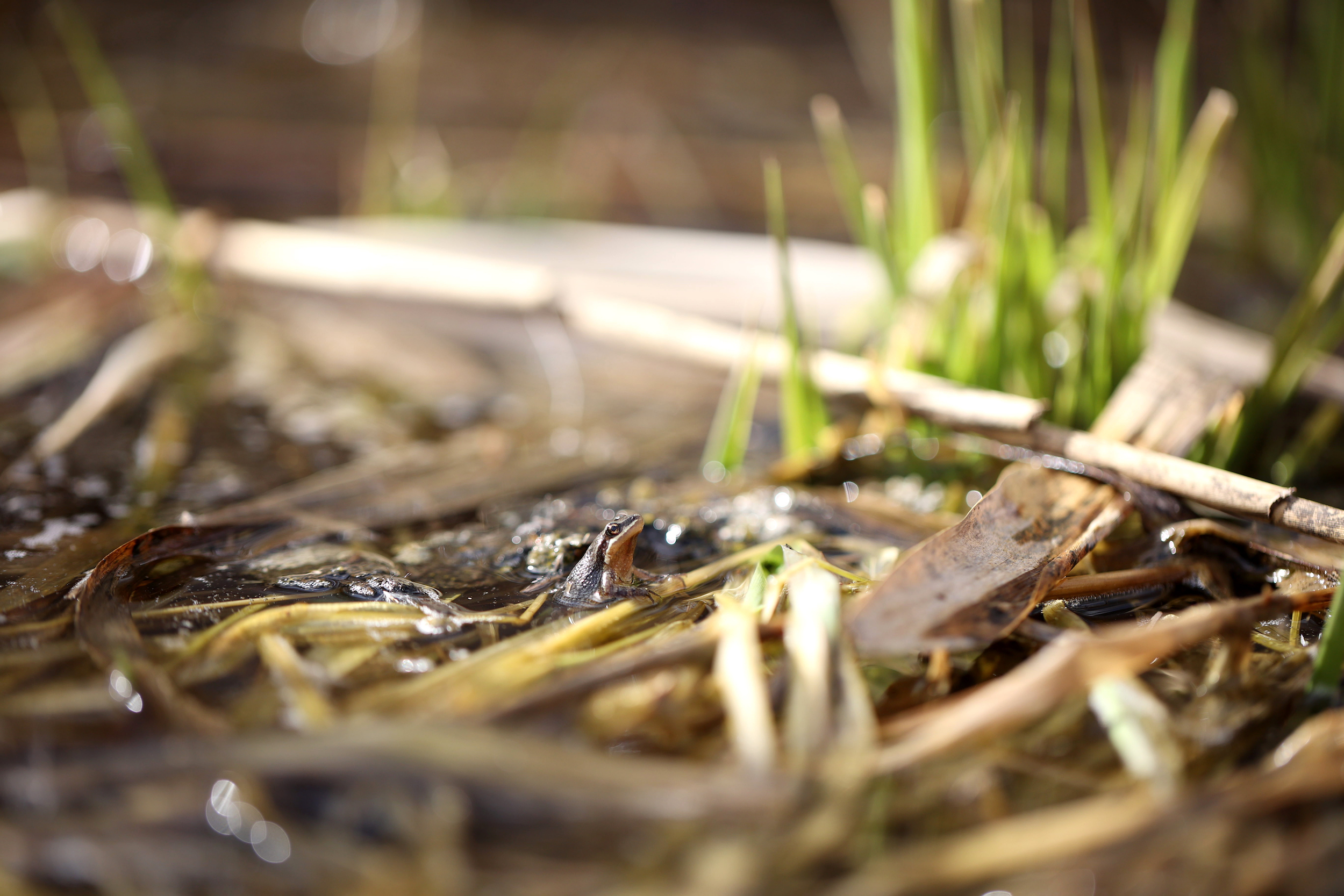
In Quebec, 16.7 per cent of the province is covered by protected areas, according to the CPAWS report.
Another 19.2 per cent of land could be protected by 2030 by moving forward with initiatives such as proposed Indigenous-led protected areas, the report says.
The environmental organization is also urging protection of habitat vital to endangered species, such as the barren-ground caribou and western chorus frog.
5. Support Inuit-led conservation in Nunavut, CPAWS report urges
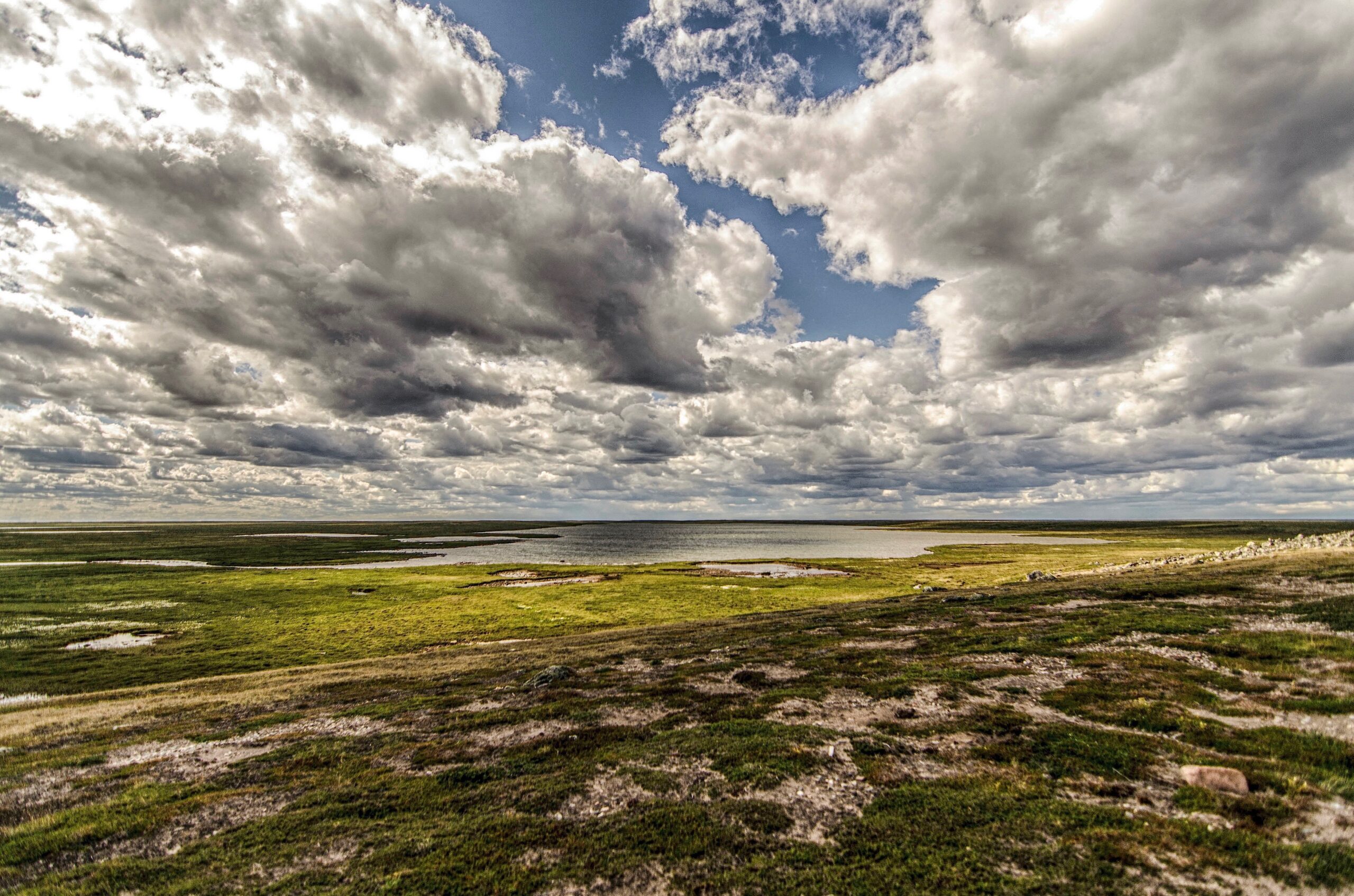
Just over 10 per cent of Nunavut is currently covered by protected areas, the CPAWS report found. A number of proposed protected areas could see that percentage increase by 21.2 per cent.
The community of Taloyoak, for instance, is working to create the Aviqtuuq Inuit Protected and Conserved Area, which would protect some 85,000 square kilometres of land and ocean.
The draft Nunavut Land Use Plan, meanwhile, proposes to protect 550,835 square kilometres of lands and ocean from extractive industries as a means to protect wildlife, as well as Inuit culture and food security, the report says.