


Rare species like American badgers, flammulated owls, yellow-breasted chats, desert night snakes and western rattlesnakes make their home in the southern Okanagan Valley grasslands in the heart of B.C.’s wine, golf and beach country.
For more than 15 years, efforts to create a national park in the grasslands, one of Canada’s most unusual and beautiful landscapes, have started, stalled and re-started.
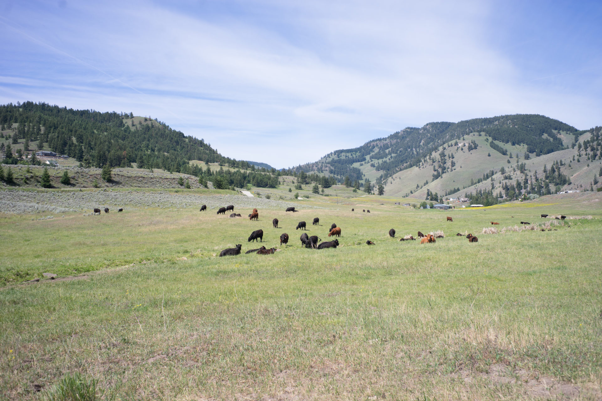
Cattle graze near the border of a proposed national park reserve in British Columbia’s southern interior, just west of the White Lake Grasslands Protected Area, near Okanagan Falls, B.C. Photo: Jake Sherman
On July 3, the fiercely debated South Okanagan-Similkameen National Park Reserve took a large step closer to becoming a reality with the signing of a memorandum of understanding among the province of B.C., the government of Canada and the Syilx/Okanagan Nation.
The memorandum establishes a working boundary for the park and the framework for negotiations moving forward, but it doesn’t seal the deal on the national park, which has polarized pro- and anti-park factions since the idea was first pitched in the early 2000s.
“It’s an important milestone for sure,” says Richard Cannings, MP for the South Okanagan-West Kootenays and the federal NDP’s natural resources critic. “I grew up in these grasslands and it’s one of the top-four endangered ecosystems in Canada.”
But Cannings, who is also a well known biologist and field guide author, is also cautious about the future of the area long on the radar of conservationists and scientists.

South Okanagan-West Kootenay MP Richard Cannings photographed on his property above Penticton, B.C. Photo: Jake Sherman
B.C.’s southern grasslands — which include an arid ecosystem around Osoyoos reminiscent of the Arizona desert and characterized by antelope brush and fragrant sagebrush — face intense development pressure. People want to live and play in an area known for its hot summers and mild winters. Changing normalized patterns of behaviour on the landscape, whether it’s ATVing or hunting, is always an uphill struggle.
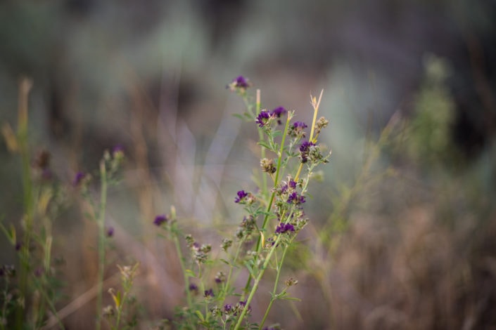
Desert brush photographed in the White Lake Basin, which is at the centre of a debate over the future of a proposed national park reserve in British Columbia’s southern grasslands. Photo: Jake Sherman

Desert brush in the White Lake Basin. Photo: Jake Sherman
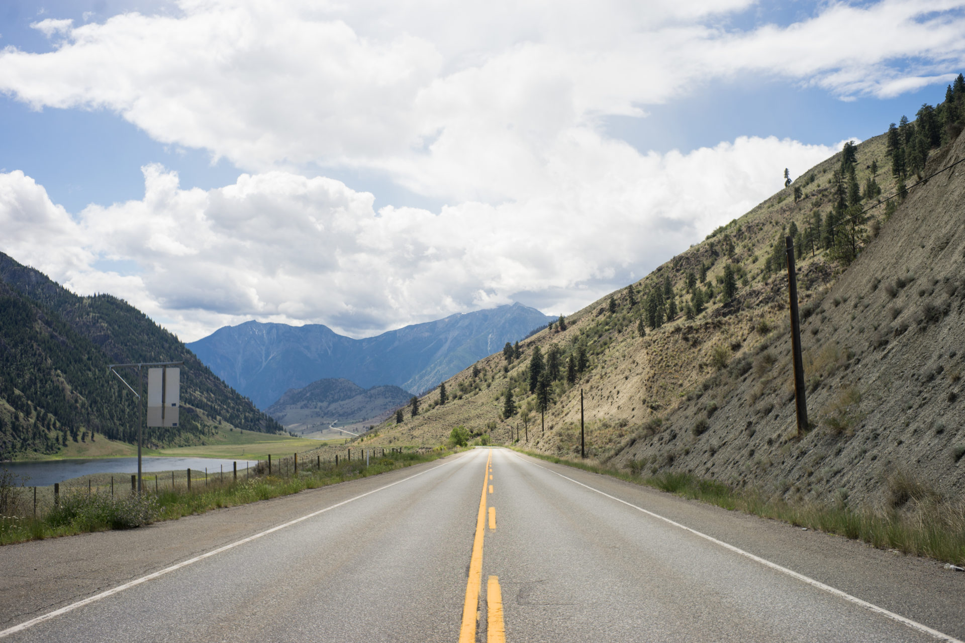
By national park standards, the proposed South Okanagan-Similkameen National Park Reserve is small. It’s roughly 300 square kilometres and covers an area from Taylor Lake north of Oliver to the U.S.-Canada border, bounded by the Similkameen River and the west side of the Okanagan Valley. (Banff National Park, Canada’s first national park, is more than 6,600 square kilometres by comparison.)
The park would be composed of a patchwork of existing provincially protected lands, open Crown land and private parcels. More than 30 federally listed species at risk and 60 provincially listed species live within the proposed park boundaries.
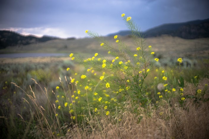
The White Lake basin and grasslands. Photo: Jake Sherman
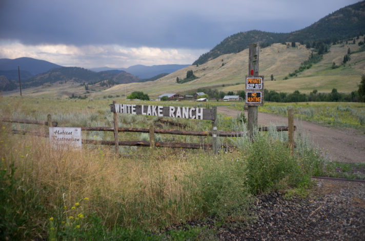
The White Lake Grassland Protected Area, basin and biodiversity ranch are at the centre of a heated debate of the future of a proposed national park reserve in British Columbia’s southern interior. Photo: Jake Sherman
It’s a naturalist’s paradise and also unfinished business for Parks Canada. It would fill a gap in Canada’s national parks plan, which identifies B.C.’s southern grasslands as one of 39 eco-regions that form a distinctive component of the national landscape — an ecosystem that so far lacks national park representation.
Ken Wu is co-founder of the Ancient Forest Alliance, a conservation group he left early this year to launch a new organization, the Endangered Ecosystem Alliance.
“Most people associate me with big trees and coastal forests,” Wu says. “But I believe this is one of the greatest conservation opportunities in Canadian history. It would have some of the highest densities of listed species of any national park in Canada.”
However the anti-park faction is as passionate as pro-park conservationists like Wu and Richard Cannings, whose professional association with this landscape dates back to the 1970s when, as a young university grad, he got a job surveying existing scientific literature on B.C.’s interior grassland regions as possible candidates for protection.
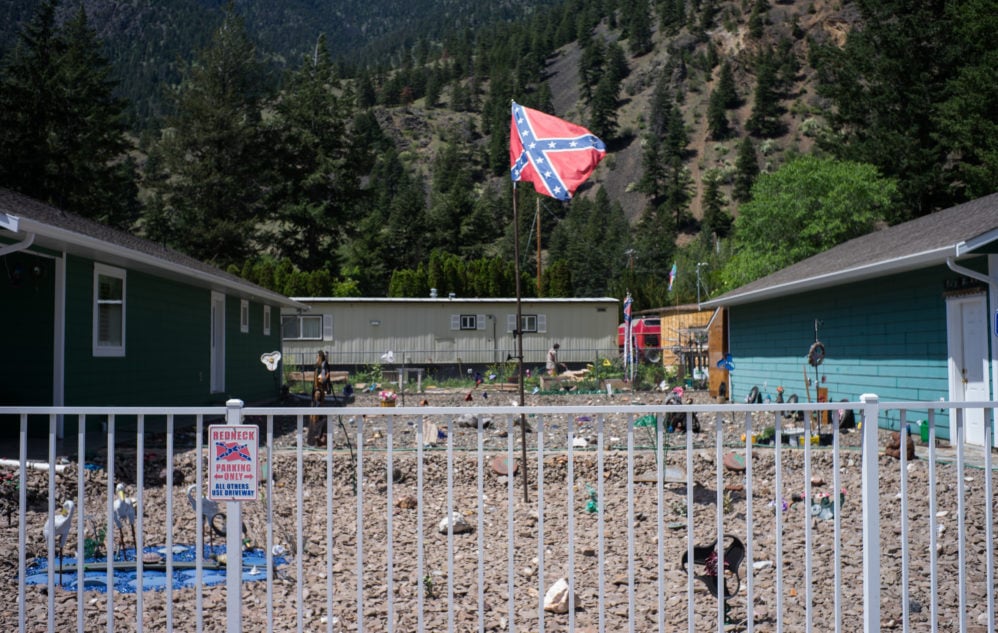
A home in the unincorporated town of Olalla, B.C. Photo: Jake Sherman
The issue has divided communities such as Oliver, where in April the confusingly named anti-national park group known as the South Okanagan Similkameen Preservation Society held a public meeting that drew 300 people.
Many in attendance were opposed to the proposed park, including Rick Knodel, the Area C director for the regional district of Okanangan-Similkameen, who likens a national park to sacrificing local sovereignty to the federal government.
Antipathy toward Parks Canada and the federal government runs deep among society members. Group spokesman Lionel Trudel, an Okanagan Valley-based photographer, insists the society supports conservation of the area’s unique grasslands, just not by bureaucrats based in Ottawa.
“We as a society are looking elsewhere for solutions and we don’t want Parks Canada as an entity in this region,” Trudel says.
He says the prospect of thousands of new visitors a national park would bring to the busy Okanagan Valley tourism corridor would add unwanted pressure to policing, ambulance services and other resources, as well as more traffic to the already busy Highway 97.
The Crowsnest Highway, between Osoyoos and Keremeos, B.C., the site of a proposed national park reserve in British Columbia’s southern interior. Photo: Jake Sherman
Trudel also says his group is concerned about potential special hunting rights for First Nations in a national park reserve that would otherwise be off-limits to hunters, ATV users and other groups.
Parks Canada held a series of 39 information meetings between January and March 2019, which were attended by more than 600 people, and also received feedback on the park from another 2,800 people in the form of a survey. The results reflected a sharp divide between support and opposition.
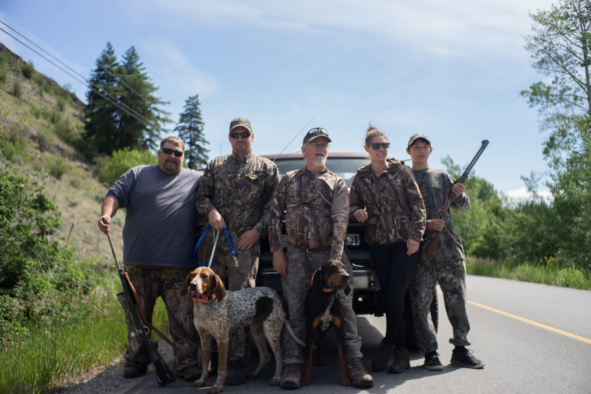
Hunters and Marron Valley, B.C., residents Marty Clark, Sean Duncan, Doug Cowe, Michelle Parott and Dominic Gorkoff oppose the establishment of a national park reserve in British Columbia’s southern interior. Photo: Jake Sherman
MP Cannings believes many concerns about the park are based on misinformation that continues to spread among anti-park activists, such as the claim that Parks Canada will expropriate private land and drive out cattle ranchers.
Neither is true according to Sarah Boyle, a Parks Canada project manager. She says the federal government cannot expropriate private property in order to establish or enlarge a national park or national park reserve.
“Private lands would only ever be purchased on a willing-seller/willing-buyer basis,” Boyle told The Narwhal.
Boyle added that Parks Canada will continue to work with ranching families to provide “stability and certainty on Crown grazing lands, tenures, water and other resource values.”
Cannings has heard Parks Canada address these concerns many times in the past.
“It’s frustrating to be going to public meetings 17 years into the process and still hear people talking about expropriation,” Cannings says. “Honestly I think there’s a lot of mistrust and dislike of the federal government that’s behind this.”
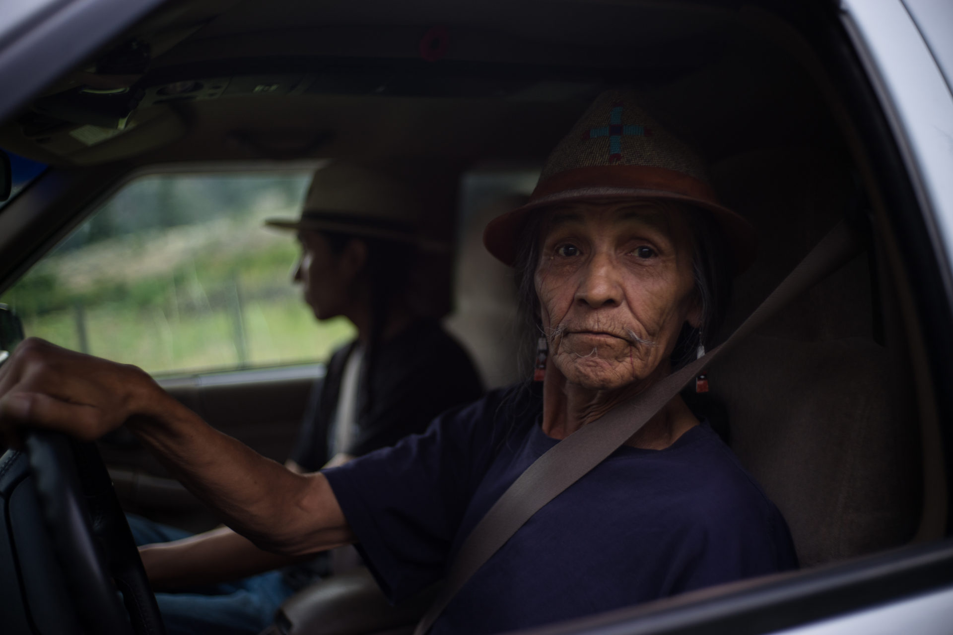
Uthlxanica7, 67, is a Syilx elder who opposes the establishment of a national park reserve in British Columbia’s Southern Interior. He lives on the Keremeos Forks Indian Reserve #12 and #12A between Kaleden and Keremeos, B.C., and said he sees the federal government’s encroachment as yet another tool of colonial exploitation. “The land is my home,” he told the Narwhal. “I don’t need the federal government to explain that to me. They tell me we’re multicultural. I’m not a multi-culture. I come from here. History repeats itself. Look at Yellowstone where my people can’t even get their medicine. The animals are leaving. The earth is talking. No one wants to listen. This is not gonna be fit for nobody.” Photo: Jake Sherman
Don Gayton is an American-born Vietnam War resistor, author and grasslands ecologists who has lived in Canada since the late 1960s. For the past dozen years Gayton has made his home in Summerland on the west shore of Okanagan Lake, about 40 kilometres from the proposed park’s northern boundary. He calls grasslands “the Rodney Dangerfield of ecosystems.”
“They get no respect. In mountain parks, the scenery with all the waterfalls, glaciers and mountains does all the work for you. In grassland country, you have to do the work and get down on your hand knees to truly appreciate it. If you put in the effort, the quiet and amazing diversity is breathtaking,” Gayton says.
“But this is a challenging place to create a national park. It’s basically a suburban area.”
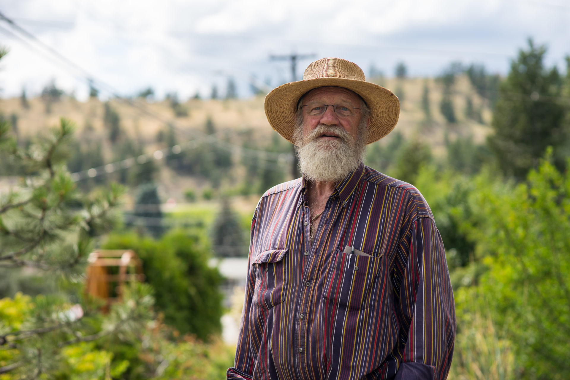
Don Gayton is a grasslands ecologist and the author of six books. He is a vocal proponent of a national park reserve in British Columbia’s southern interior. Photo: Jake Sherman
For park opponents worried about hunting access, Gayton points out that national parks can act as refugia for wildlife, which could benefit hunters in the long run. But as a grasslands ecologist, concerns about lost hunting opportunities rank low in importance.
“Species like antelope brush, badgers and tiger salamanders are at the very northern end of their range. Their genetics are important because they’ve had to adapt,” Gayton says, pointing out that the South Okanagan belongs to the vast and arid Western Great Basin that spans North America from Mexico to just across the U.S.-Canada border. “This is an extremely rare and important region, ecologically.”
That’s why he believes the region deserves the highest form of protection possible — and in Canada that means national park status.
However, Gayton says Parks Canada is omitting two areas from the park proposal that biologists consider critical from a species and ecosystem perspective — Vaseux Lake and the White Lake Basin.

Vaseux Lake is the only place in the south Okanagan Valley where undeveloped land reaches the valley floor on both sides. Photo: Jake Sherman
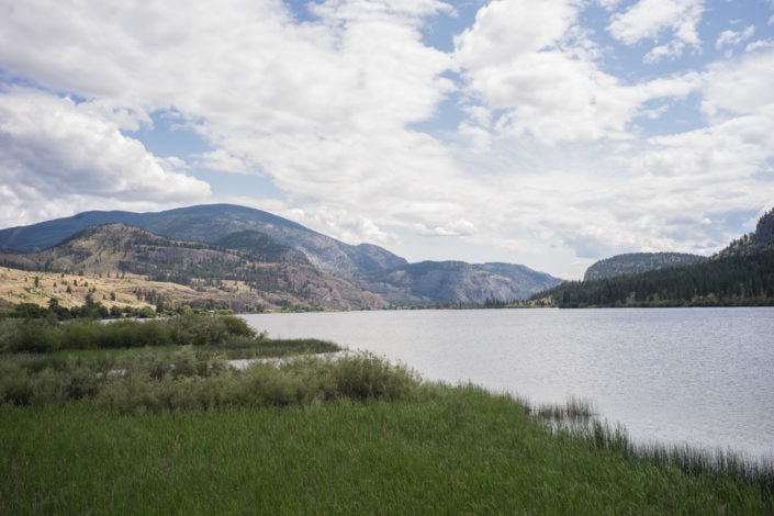
Vaseux Lake, located between Okanagan Falls and Oliver, is a critical area excluded from the current national park reserve proposal. Photo: Jake Sherman
Vaseux Lake is found where the Okanagan Valley pinches to a narrow opening north of Oliver and is bounded on the west by soaring cliffs. It’s the only place in the south Okanagan Valley where undeveloped land reaches the valley floor on both sides.
Immediately to the west is the natural grassland basin of White Lake, where nationally significant populations of the endangered sage thrasher are found, as well as unique mosses that thrive in the saline conditions of White Lake, tiger salamanders and a host of other listed species.
Gayton calls White and Vaseux lakes one of the “jewels in the grasslands crown” and, like most conservationists, he’s confounded that they have been omitted from the national park reserve proposal.
The White Lake biodiversity ranch between Okanagan Falls and Marron Valley, B.C. Photo: Jake Sherman
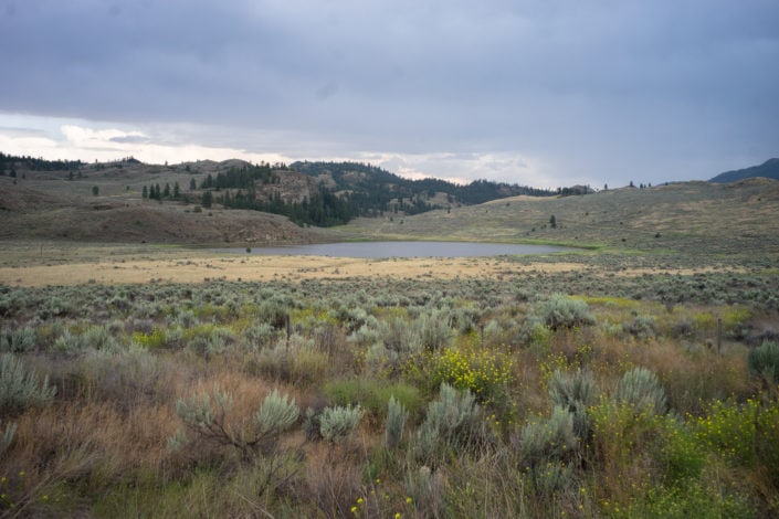
White Lake is one of the “jewels in the grasslands crown,” according to ecologist Don Gayton. Photo: Jake Sherman
Two federal agencies already own land in these areas, the Canadian Wildlife Service and the National Research Council, which runs the Dominion Radio Astrophysical Observatory near White Lake.
The Nature Trust of British Columbia owns the 940-hectare White Lake Basin biodiversity ranch and also co-manages — with B.C.’s Ministry of Forests, Lands and Natural Resource Operations — roughly 480 hectares of land along Vaseux Lake, which includes important habitat for bighorn sheep.
Wu says his organization will continue to push to have White Lake Basin and Vaseux Lake included in the park proposal. Cannings says he hasn’t heard “a reasonable explanation” for why they have been left out, but at this point prefers not to put up any more roadblocks.
“I suppose it speaks to the complexity of this national park proposal,” Cannings says. “At this point, I think most of us are feeling that we need to get this done.”
Getting final approval for the park won’t happen without the consent of the Syilx/Okanagan Nation, which represents the Okanagan Indian Band, Osoyoos Indian Band, Penticton Indian Band, Upper Nicola Band, Upper and Lower Similkameen Bands and Westbank First Nation.
The conservation model under consideration is a national park reserve, distinct from a national park in that it applies to lands that are also subject to a claim of Aboriginal title. Both Pacific Rim on Vancouver Island’s West Coast and Gwaii Haanas on the southern reaches of Haida Gwaii are national park reserves.
Clarence Louie, the tough-talking chief of the Osoyoos Indian Band, scoffs at park opponents who suggest a national park would lead to increased crime and wildfire risk, two tropes often trotted out at anti-park meetings.
Louie believes much of the opposition is rooted in “white peoples’ ” mistrust and resentment of Aboriginal rights and title in the lands at stake.
Chief Clarence Louie of the Osoyoos Indian Band is a proponent of a national park reserve in the South Okanagan. In early July he signed a memorandum of understanding that signalled the first formal steps toward the park’s creation in partnership with local First Nations. Photo: Jake Sherman
Though the bands that form the Syilx/Okanagan Nation are supportive of the park concept in principle, Louie says much work needs to be done before the distinct brown and yellow Parks Canada signs start appearing in Okanagan and Similkameen territory.
“We don’t have all the information. There needs to be hundreds of more meetings and discussions,” Louie says.
Gayton is taking the long view on the South Okanagan Similkameen National Park Reserve. He hopes to see it come to fruition in his lifetime.
“The average timeline for creating a national park is 30 years so we’re about halfway there,” Gayton says.
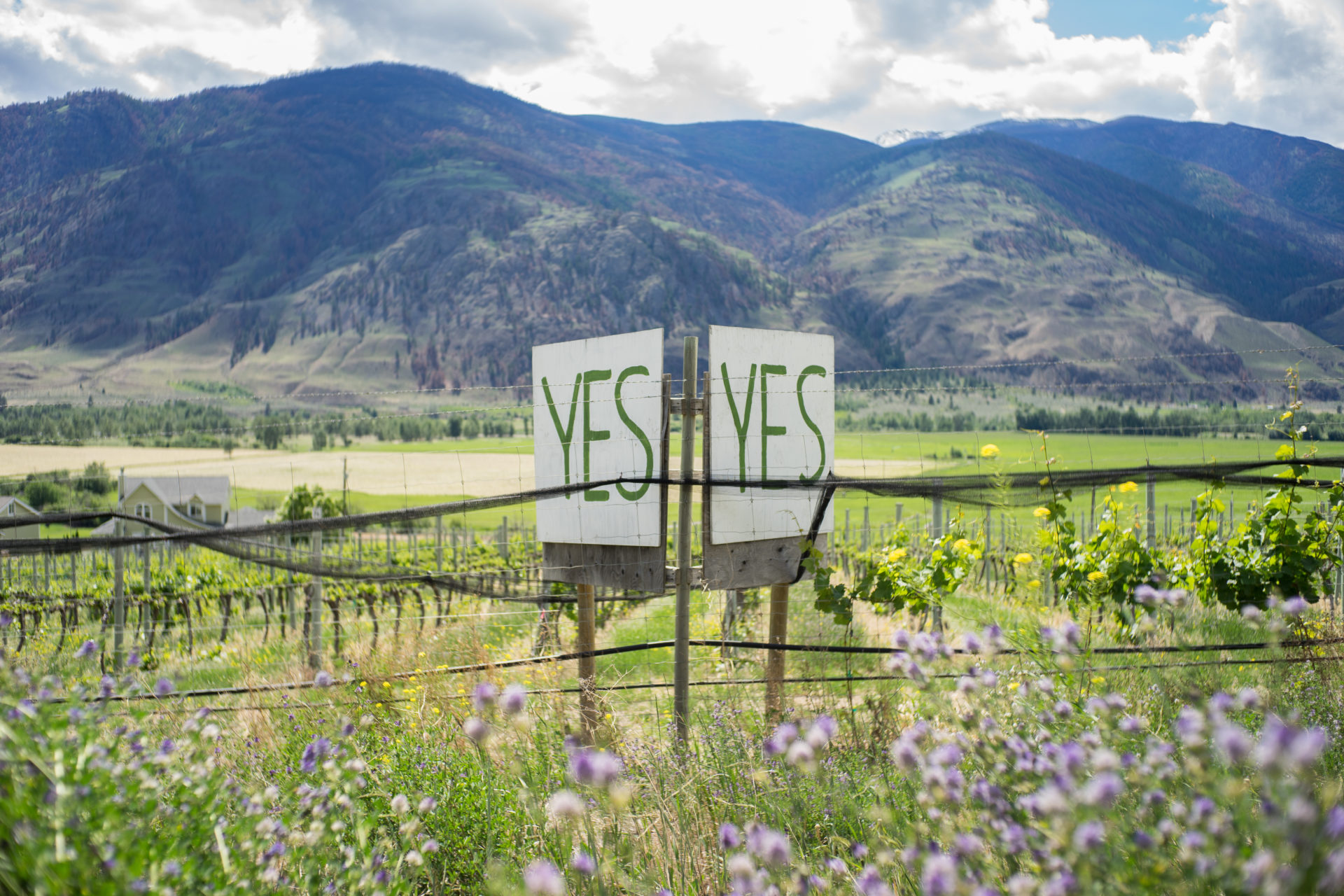
A sign in support of a proposed national park reserve in British Columbia’s southern interior, photographed along the Crowsnest Highway, between Osoyoos and Keremeos, B.C. Photo: Jake Sherman