


A Toronto-area regional council has adopted a legal amendment that would permit development in pockets of Ontario’s Greenbelt — a decision many worry will set a dangerous precedent for future development in and around the 2 million acres of protected land.
On Oct. 28, York Regional Council — the political body that includes mayors and regional representatives of nine municipalities just north of Toronto, including Markham and Vaughan— voted 13 to 5 in favour of Regional Official Plan Amendment 7, which proposed to change the designation of 1,400 acres of Greenbelt lands from agricultural to rural. Four mayors were among those who voted in favour: Vaughan Mayor Maurizio Bevilacqua, Markham Mayor Frank Scarpitti, East Gwillimbury Mayor Virginia Hackson and Whitchurch-Stouffville Mayor Iain Lovatt.
The amendment needs to be approved by the Ontario Ministry of Municipal Affairs and Housing before it can take effect.
“It’s an infringement on the Greenbelt,” said Marilyn Iafrate, a Vaughan city councillor. “And I believe it is the start of the infringement on the Greenbelt. This could allow a developer to come in and build a school in the Greenbelt. They can take a place of worship and put it in the Greenbelt. They can take a firehall and put it in the Greenbelt.”
“All it takes is one municipality to take the lead, and then everybody follows suit.”
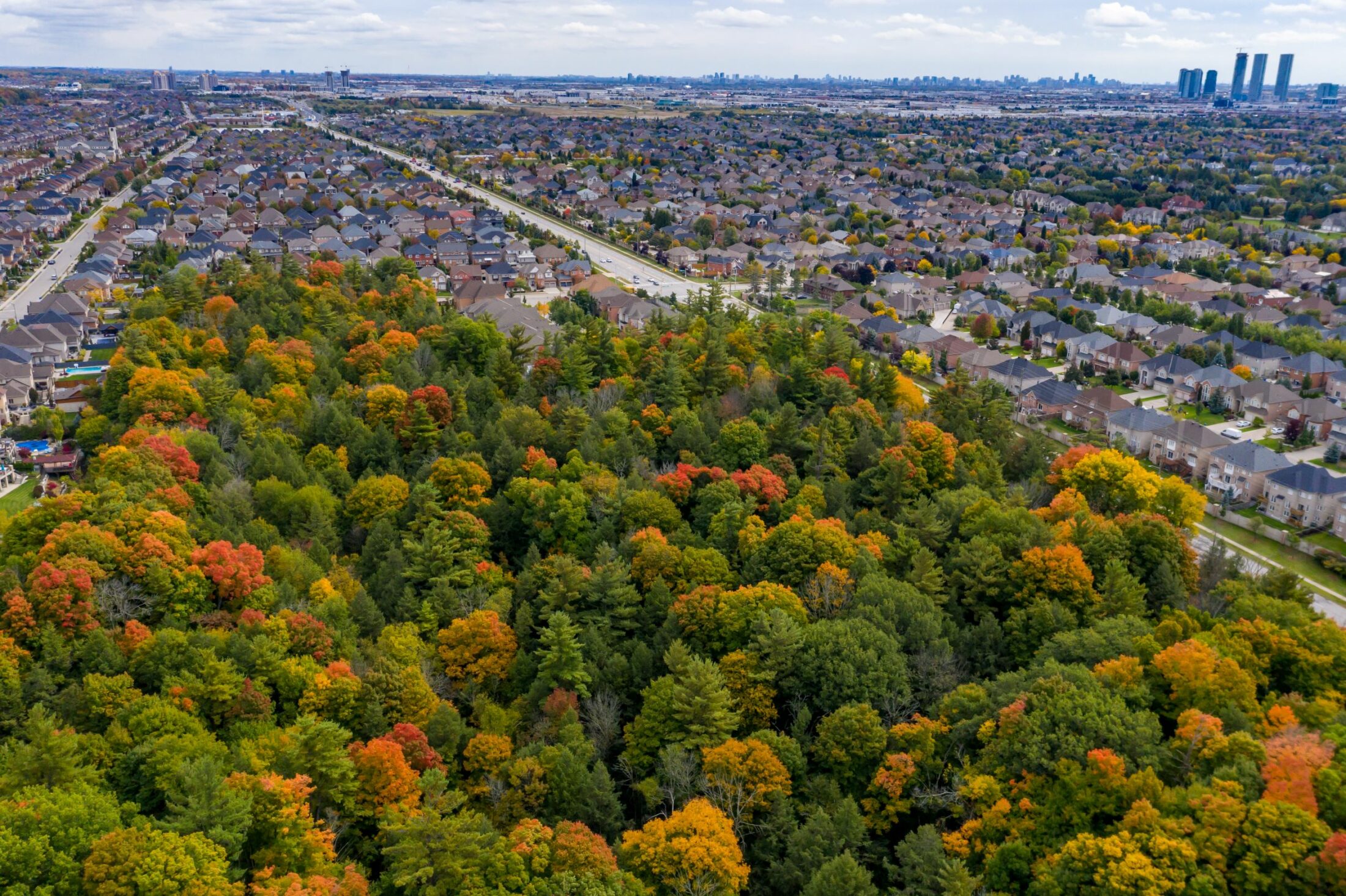
The amendment to the region’s official development plan was initiated in June by TACC Developments, a Vaughan developer, which asked York Regional Council to redesignate parcels of protected land that surround two of its urban residential developments from agricultural to rural. These lands are known as “Greenbelt fingers” because of how they look on a map, as they follow the paths of important water systems and are adjacent to and surrounded by urban land.
The request was backed by a number of York Region developers, many of whom have donated to Premier Doug Ford’s Progressive Conservative party. TACC Developments and others are building low- and mid-rise housing, and say they want to surround them with what’s known as “active parkland,” such as campgrounds, golf courses, ski hills and hiking trails.
But the fingers of land around the new housing follow the paths of important water systems. Like the rest of the Greenbelt, it is protected by provincial legislation and stewarded by the Greenbelt Foundation, an independent charitable organization that receives funding from the provincial government and other public and private organizations. Switching the designation of these fingers from agriculture to rural would permit development of more than just recreational amenities: other major residential, commercial and industrial uses would also potentially be allowed.
York Region Chief Planner Paul Freeman told The Narwhal in an email that the amendment will permit parkland development “adjacent to residential neighbourhoods.” Freeman added that the now-approved amendment “allows local municipalities to consider a broader range of parkland uses that may be compatible with the Greenbelt lands” based on local planning procedures.
Others disagree. According to the Toronto and Region Conservation Authority, any development could “have negative impacts on Greenbelt natural heritage and water resource systems and the ecological functions and services provided over the long term.” Amendment 7 specifically applies to three areas that are unique components of three different watersheds: one chunk, known as Block 41, is within the East Purpleville Creek Watershed, connecting east-west to the main Humber River. The other, known as Block 27, links to the easternmost leg of the East Don River and connects to the Oak Ridges Moraine to the northwest.
The amendment was passed despite recommendations against it by York Region staff, who said it “would have implications on the other Greenbelt lands…and potentially similar Greenbelt Lands beyond York Region.” There has also been staunch opposition from residents and environmentalists who believe it will downgrade environmental and natural heritage protections. Many are also worried about a loss of agricultural activity, a key sector in York Region’s economy that brings in $2.03 billion in economic activity annually.
While Amendment 7 is ostensibly a local planning issue, Edward McDonnell, CEO of the Greenbelt Foundation, worries it “will be a concerning precedent for future decisions” by broadening the interpretation of what can be allowed in Greenbelt lands.
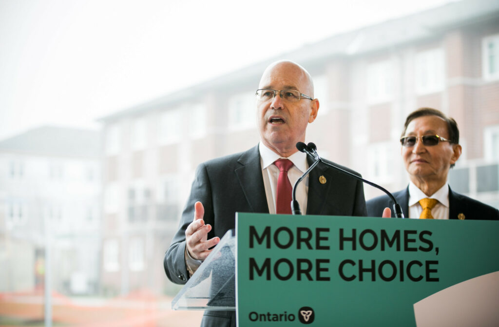
Steve Clark, the minister of municipal affairs and housing, is the final approval authority for the amendment. His office did not respond to The Narwhal’s request for comment. The Progressive Conservative provincial government has previously stated its intention to increase the quality and quantity of the Greenbelt.
When York Region staff report asked the ministry for “a clear interpretation” of what was permitted in Greenbelt fingers, Assistant Deputy Minister Hannah Evans reiterated that parkland, trails, and other recreational uses are permitted within the rural areas of the Greenbelt and noted that Greenbelt policies are subject to municipal interpretation.
“The minister is going to say we’re protecting the Greenbelt but then on the other side, the two-facedness of it, he’s sitting there quietly, allowing York to do the dirty work with the developers essentially,” said Victor Doyle, a former provincial planner credited as one of the architects of the Greenbelt.
“If this decision stands, it sets a precedent for every [river valley], emanating south and north of the Greenbelt to be opened up to urban uses,” said Doyle. He also noted that there is legal precedent against amendments like the one just passed. In 2006, the town of Richmond Hill faced a similar encroachment into Greenbelt fingers by a developer and won a legal battle that declared the lands cannot be used for urban development by the adjacent community.
Don Hamilton, deputy mayor of Markham, also thinks that the redesignation of these lands from agricultural to rural is “unacceptable.”
“I understand why the development community brought [Regional Official Plan Amendment 7] forward, as it may allow them to designate and claim parkland credit in these fingers, thereby allowing them to build more homes where parkland might otherwise have been placed,” Hamilton wrote in an email. “As usual, it’s all about money.”