


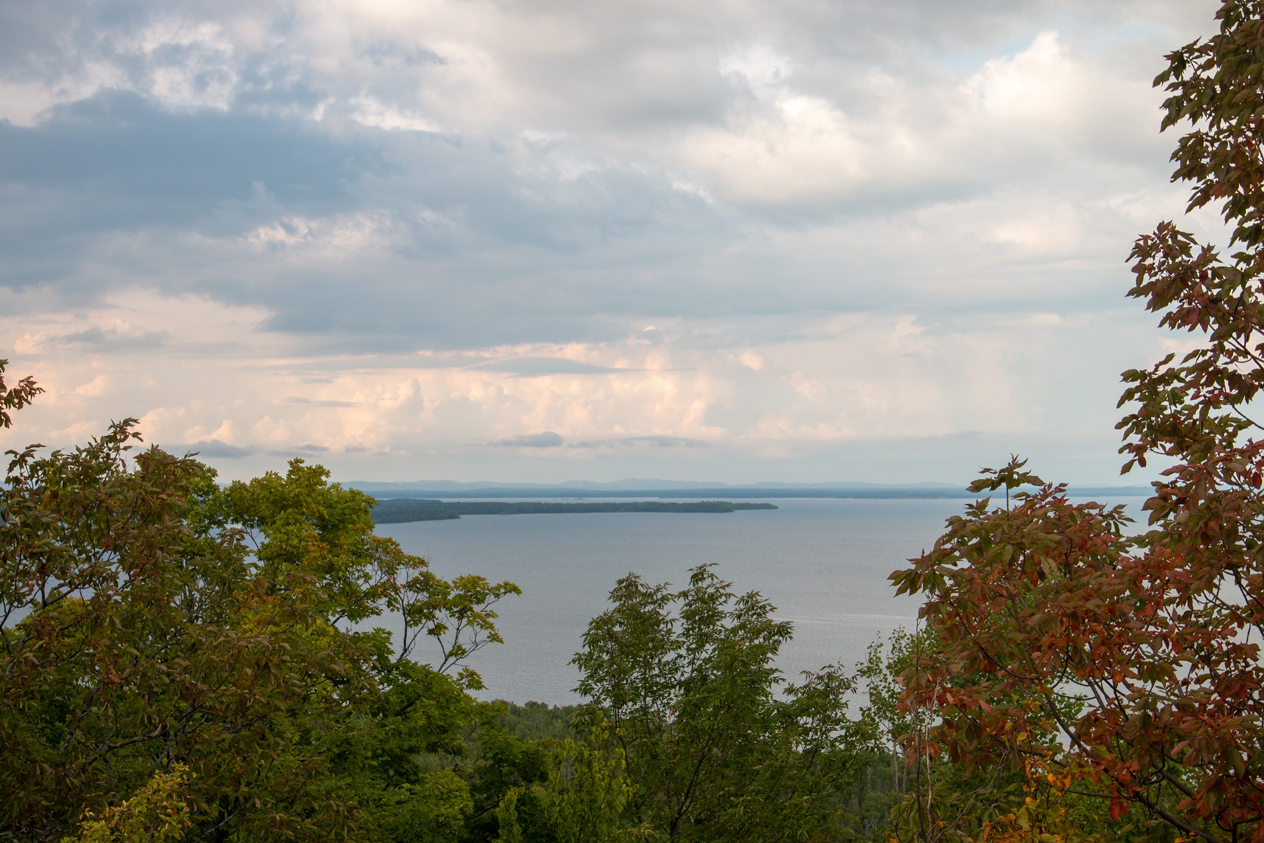
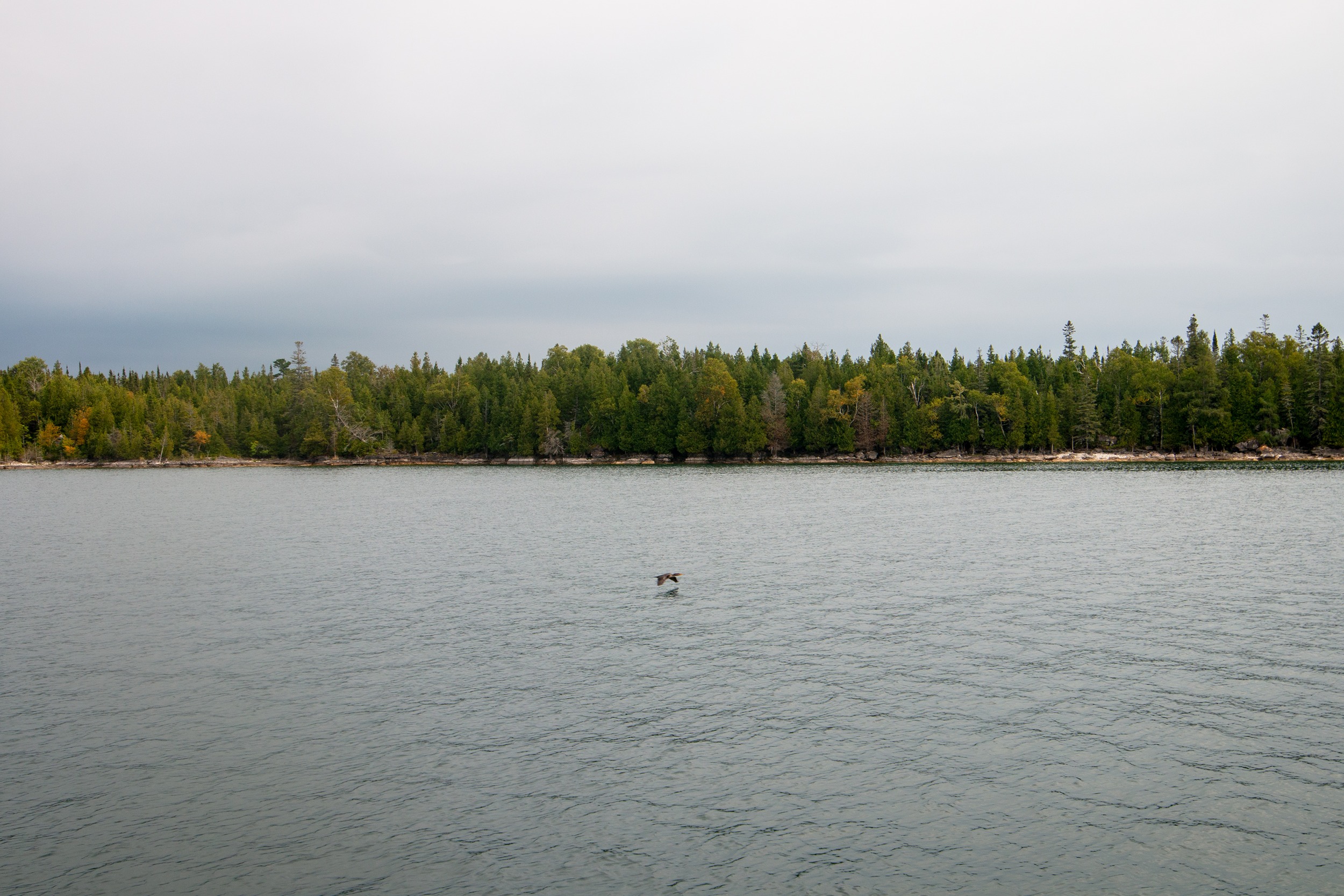
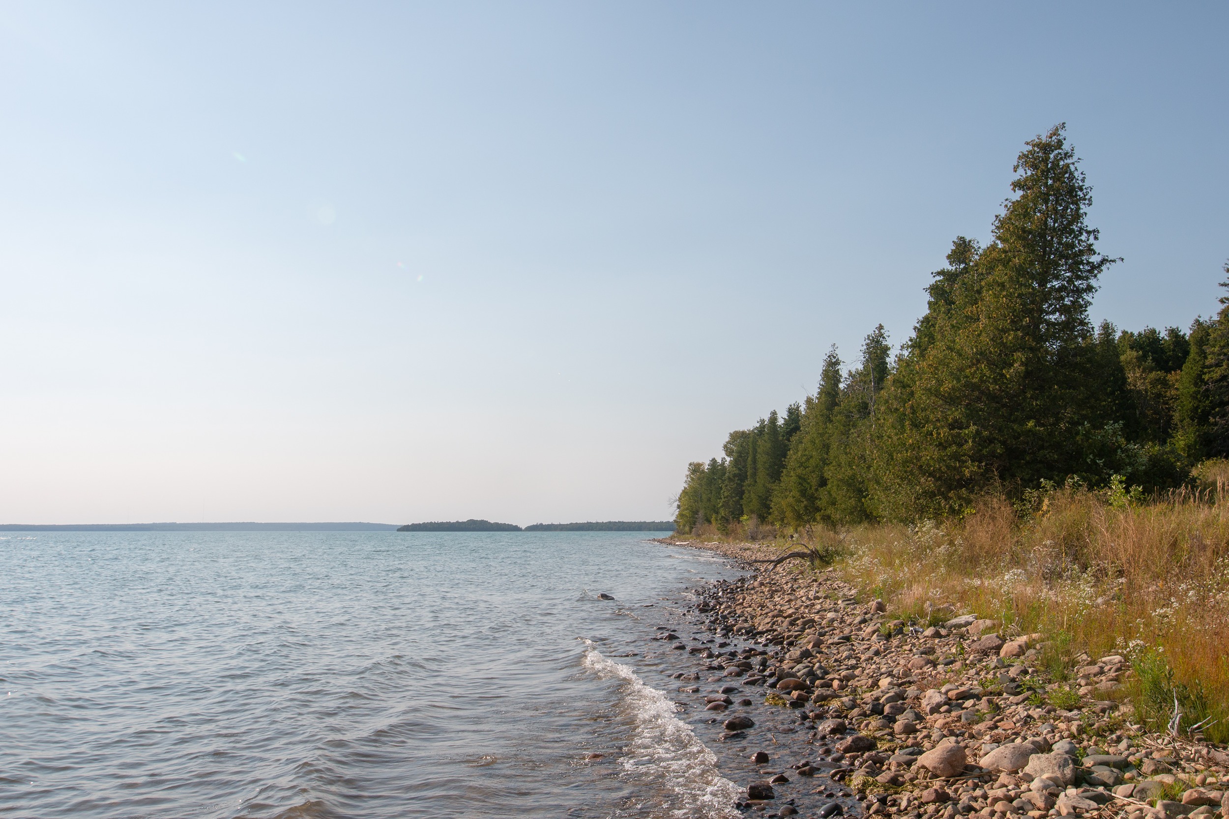
The rugged coasts of the islands separating Lake Huron’s north channel from its open waters to the south are famous for rocky vistas, pristine sand beaches and windswept pines.
The archipelago, arching from the Bruce Peninsula to Manitoulin Island and beyond, is dotted with protected areas and brimming with wildlife. The fish caught there sustain communities and businesses. Several First Nations pull drinking water directly from the lake. And tourists drive for hundreds of kilometres to see the archipelago’s iconic landscapes and clean, shimmering bays and inlets.
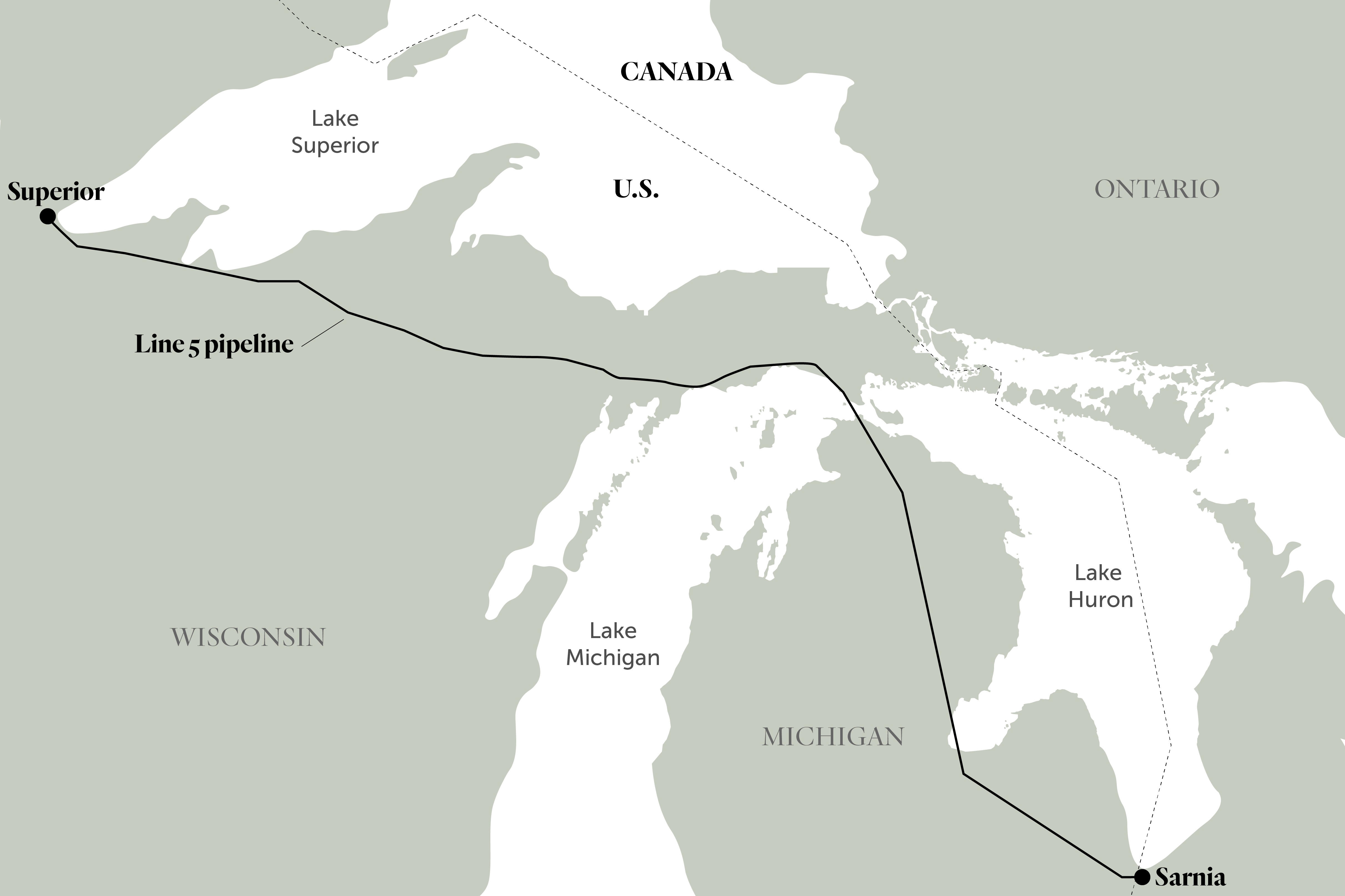
But there’s a potential threat beneath the surface to the west: Line 5, which pumps 540,000 barrels per day of crude oil and natural gas liquids from Western Canada through the United States to refineries in Sarnia, Ont. Its twin pipes run bare and exposed for 6.5 kilometres under the Straits of Mackinac on the U.S. side of the border, where unpredictable currents pull water back and forth between Lake Huron and Lake Michigan, reversing direction every couple of days.
Line 5, operated by Calgary-based energy company Enbridge, was first granted an easement to cross these straits in 1953. Indigenous communities, environmentalists and scientists have long warned that any spill there could be a disaster. Some critics have said improved environmental rules would prevent the project from being approved if it were proposed today.
In 2020, years of simmering crossborder tension came to a head when Michigan Gov. Gretchen Whitmer ordered Enbridge to shut Line 5 down, calling it a “ticking time bomb.” Her decision touched off an international court battle that is still playing out two years later.
Enbridge, which is fighting Whitmer’s order, says the pipeline is safe. Line 5 has not leaked in the Straits of Mackinac, though it has leaked 29 times on land since 1968. The company says preventing spills is its “highest priority,” and that it has invested billions of dollars in safety measures along with equipment “designed to be effective in extreme operating conditions.”
“Line 5 is monitored 24/7 by a dedicated team who take immediate action to cease flow within the line via automated remote shut off procedures should they detect a change in pressure, flow, or other operational anomalies,” Enbridge spokesperson Gina Sutherland said in an email. “The watch crew activates trained responders when these conditions are met.”
The Canadian government has urged Whitmer to allow Line 5 to keep running. Other pipeline supporters argue that shutting Line 5 could lead to job losses on both sides of the border, energy shortages and even a jump in fuel prices.
While the battle rages on in courthouses and legislatures, however, few on the Canadian side of the border seem to know that a spill on the Great Lakes is possible — or what it could mean for them.
Over the course of a few days in early September, The Narwhal spoke to over a dozen locals, visitors and Indigenous leaders about the Lake Huron shorelines that could be at risk.
Some were worried that a spill could hurt places they love and the waters they fish from. Others felt the risk was minimal, or were supportive of pipelines as long as companies take steps to make them safe. Nearly everyone wanted more information about Line 5, and many didn’t know the pipeline was there at all.
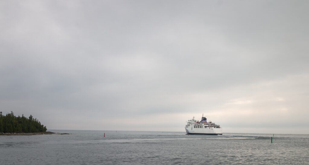
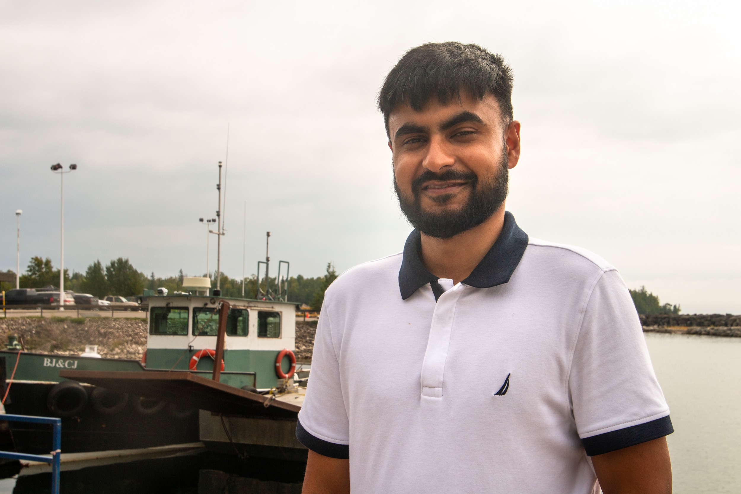
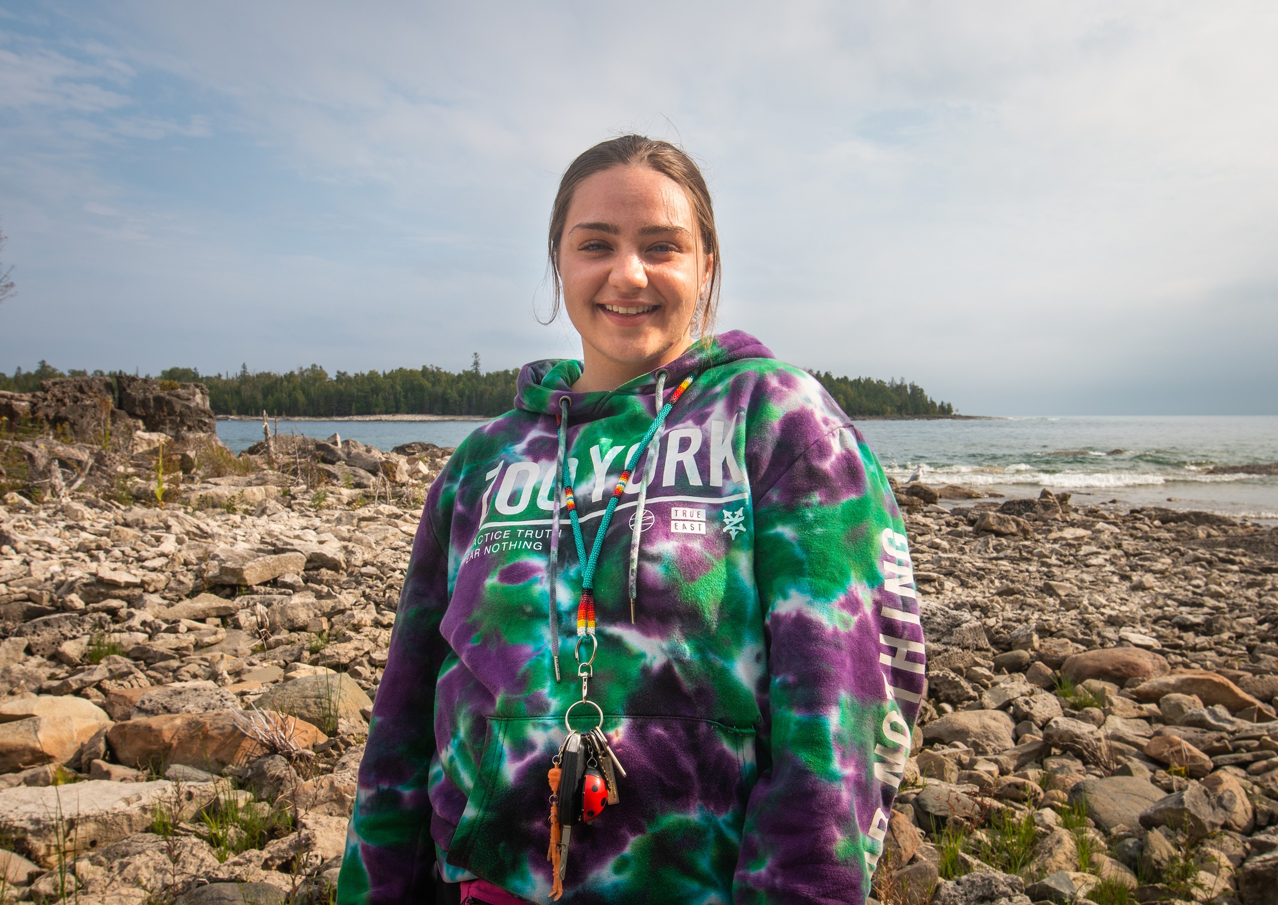
“This is the first time we’re hearing about it,” said Brinderjeet Singh Dhanoa, who lives in the Toronto suburb of Brampton. He took the Chi-Cheemaun ferry to Manitoulin Island for the day with friends and was walking by the terminal at the south of the island, in the community of South Baymouth.
“I’ve fished a few times in this part of the lake, and I’ve never heard of it,” said Meeshen Corbiere, a resident of M’Chigeeng First Nation who has lived on Manitoulin for most of his life.
Cross-border tensions with Michigan over Enbridge’s Line 5 pipeline
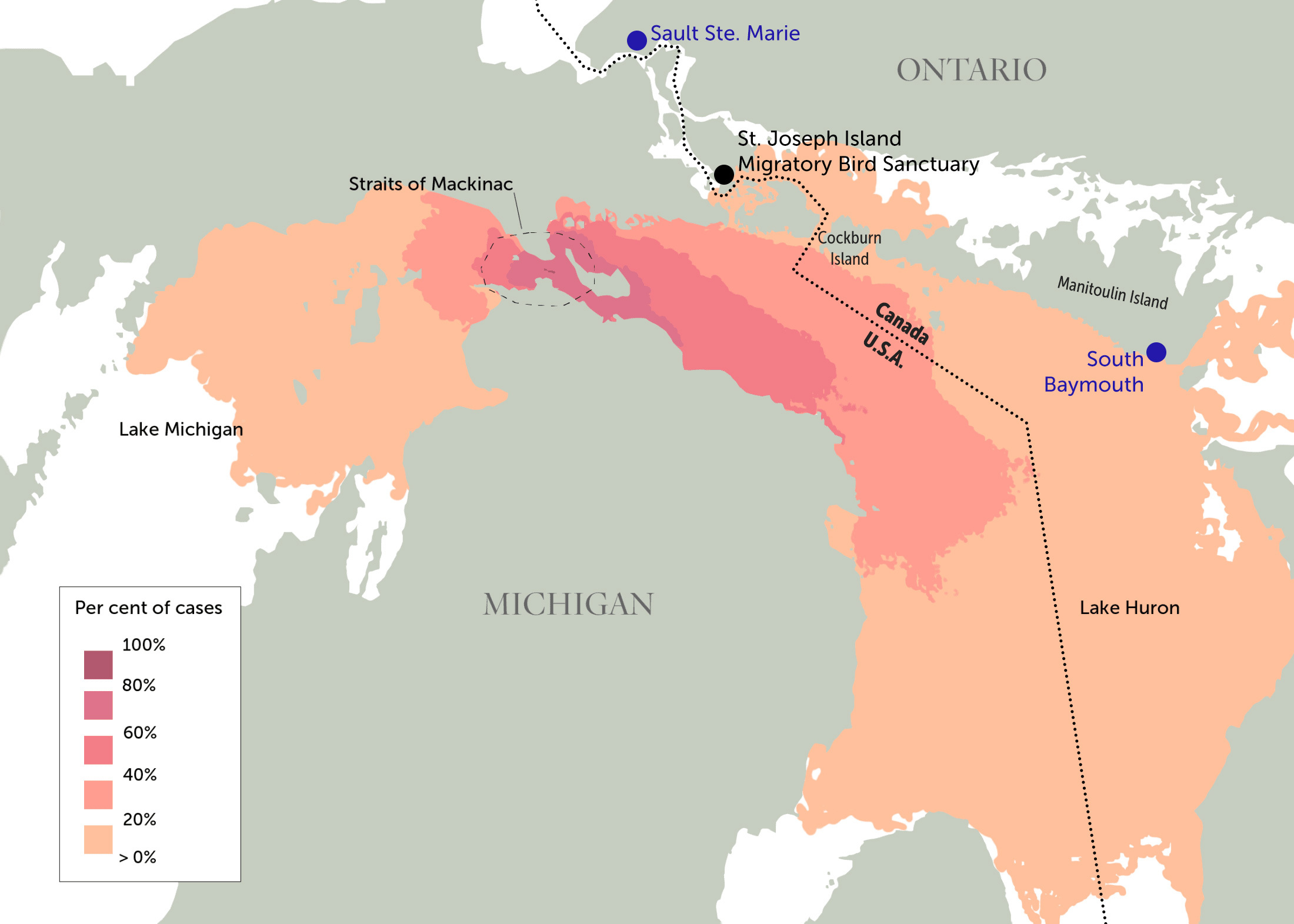
The risk to the Great Lakes was laid out in a 2016 report by University of Michigan Water Center researcher Dave Schwab, who used computer modelling to show how spilled oil could spread. The areas facing greatest environmental risk are those closest to the Straits of Mackinac, Schwab found. But oil could also flow into Lake Huron — it depends on the size of the spill, the weather conditions and which way the currents in the straits are flowing.
“I said to reporters when this first came out that I felt this was the worst place in the lakes to have an oil spill, because you can’t predict where it’s going to go,” Schwab said in an interview with The Narwhal.
Though there are many ways a pipeline can burst, Schwab previously told The Narwhal that a spill from Line 5 in the Straits of Mackinac is most likely to be caused by a ship’s anchor striking the pipe. The straits are a busy shipping channel, and anchor strikes have happened before. One incident dented the pipe in 2018. Another — which may have been caused by boats contracted by Enbridge — scraped it in 2019. At least one other anchor strike appears to have happened since 1970.
It’s not clear how a spill could affect wildlife, the water and the people who rely on the lake. But scientists have some idea of how things might go. Oil is lighter than water, so if spilled, crude would spread on the surface, following the currents. It would take about two weeks to reach Manitoulin, slightly less to reach the more westerly islands in the chain.
Schwab ran 840 simulations: one in five showed that enough oil to trigger the need for cleanup efforts would wash up on the coast of the archipelago that includes Manitoulin. It could also float to the open waters of Lake Huron on the Canadian side of the border, and even shorelines along the Bruce Peninsula hundreds of kilometres away.
“That would be a cleanup situation and affect wildlife,” Schwab said. “You may see ducks with oil on their wings.”
In an email to The Narwhal, Enbridge said it sees “major flaws” in Schwab’s study. The company argues that even in a worst-case scenario, it would release less oil than what Schwab modelled thanks to automatic shutoff valves that shut down the pipeline if there’s a drop in pressure, Sutherland said.
The company also said the report didn’t account for the ways that oil could move differently than water. “The study looks only at how water flows in the Straits, it doesn’t consider the many differences in the way oil would move, dissipate and evaporate,” Sutherland wrote. That contradicts the first page of the study, where the Michigan researcher wrote that he used “realistic estimates of worst-case discharge spill parameters, including…characteristics of light crude oil (such as specific gravity and evaporation rate)…”
Enbridge also said Schwab’s study didn’t look at natural gas in the pipeline, which doesn’t act the same way crude does.
Skeptics point to other incidents that raise doubts about Line 5’s safety and Enbridge’s track record.
Line 5 is part of the larger Lakehead System of pipelines that runs from the northeastern corner of North Dakota to southwestern Ontario, encircling Lake Michigan and running south of Lake Superior and Lake Huron. Enbridge Line 6B, another part of the Lakehead System, burst in 2010 and caused the largest inland oil spill in U.S. history. It went undiscovered for 17 hours and spilled more than three million litres of diluted bitumen into Talmadge Creek and the Kalamazoo River, both in Michigan. Enbridge overhauled its safety and emergency response practices after the spill and has said a similar incident couldn’t happen again today.
In 2020, the U.S. Environmental Protection Agency fined Enbrige US$6.7 million for failing to repair cracks and dents throughout the Lakehead System, as it had promised to do after the Kalamazoo spill. And according to research cited on the Michigan news site MLive in 2017, when the pipeline has spilled on land, leak detection systems failed in several cases to discover them.
In 2013, video commissioned by the U.S.-based National Wildlife Federation also showed sections of the line covered in invasive mussels, which can release an acid that corrodes the pipe’s surface. The video also showed that large sections of Line 5 in the straits were unsupported, which means the area’s strong currents could bend it over time, leading to a potential spill.
The islands in the Manitoulin archipelago are part of the Niagara Escarpment and are home to crucial, undeveloped shoreline habitat. The Nature Conservancy of Canada holds at least two conservation properties that could be at risk – one on Manitoulin and one on neighbouring Cockburn Island (the conservancy declined to comment on Line 5 when contacted by The Narwhal).
Manitoulin alone is home to six First Nations: Wikwemikong, M’Chigeeng, Sheguiandah, Sheshegwaning, Aundeck Omni Kaning and Zhiibaahaasing, which was originally located on Cockburn Island and continues to use a camp there.

Reg Niganobe, the Grand Council Chief of the Anishinabek Nation — which represents 39 First Nations in Ontario, many around Lake Huron — said many of the communities he serves have concerns. One of them, Aamjiwnaang First Nation, is located near refineries where Line 5 ends, and has sounded alarms for years about the community’s exposure to pollutants. Others are located closer to areas that could be impacted by a spill, and worry about how the pipeline could affect water quality and the wildlife they use for sustenance.
“When things like inflation go up, or prices on food go up, there’s a lot of food insecurity in our First Nations,” he said. “So being able to utilize those resources are important to us. Now, a spill means infected resources, right? Contaminated resources. So that’s why we’re constantly worried about it.”
Schwab’s simulations that show oil reaching the islands assume there would be no cleanup effort. But Enbridge says it would “move quickly” to contain a spill — it says it’s ready to rapidly deploy equipment in the straits, including booms that can act as a physical barrier and skimmers that can remove oil from the surface.
But cleanup and containment efforts don’t always go so smoothly. After the Kalamazoo spill, it took Enbridge four years — and an order from the U.S. Environmental Protection Agency — to finish dredging crude out of the riverbottom.
It’s also not possible to recover and contain oil on the Great Lakes all of the time. In 2015, Enbridge’s own contracted marine spill responder as well as the leading Great Lakes spill response coordinator for the U.S. Coast Guard told the Detroit Free Press that waves one metre or larger could delay or prevent spill response on the Straits of Mackinac. That type of weather happens in the straits fairly often: waves of that size or higher occur about 135 days of the year, though not all day, according to data from the U.S. National Oceanic and Atmospheric Administration.
Spill recovery boats also wouldn’t be able to operate at night, the Free Press reported.
“We are prepared and able to respond in all weather conditions to minimize impact to the environment,” Sutherland wrote in an email. “That said, we do have an agreement with the state to stop operating Line 5 when waves are at a sustained height of more than [2.4 metres].”
All that to say, no one really knows what would happen if Line 5 ever ruptures.
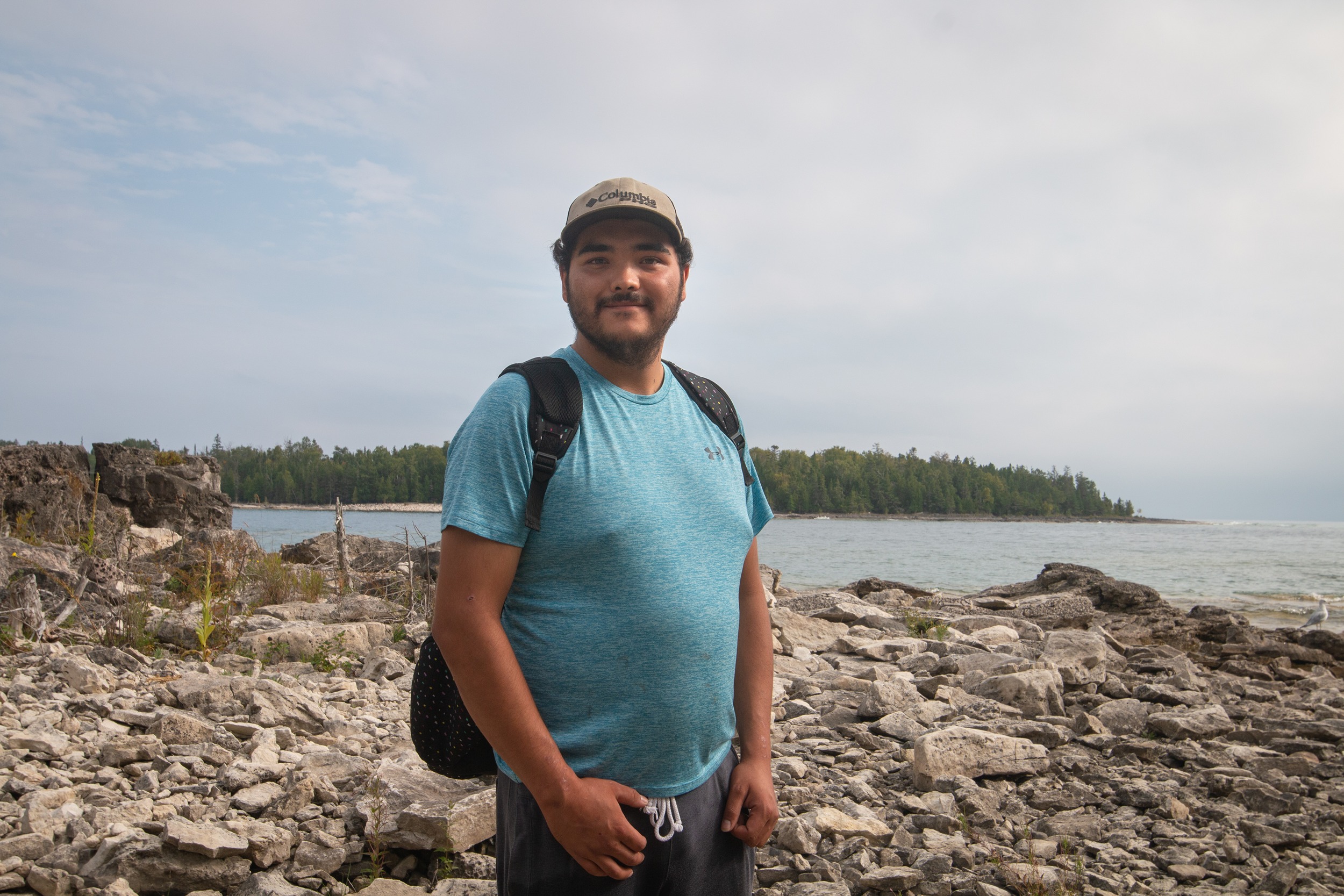
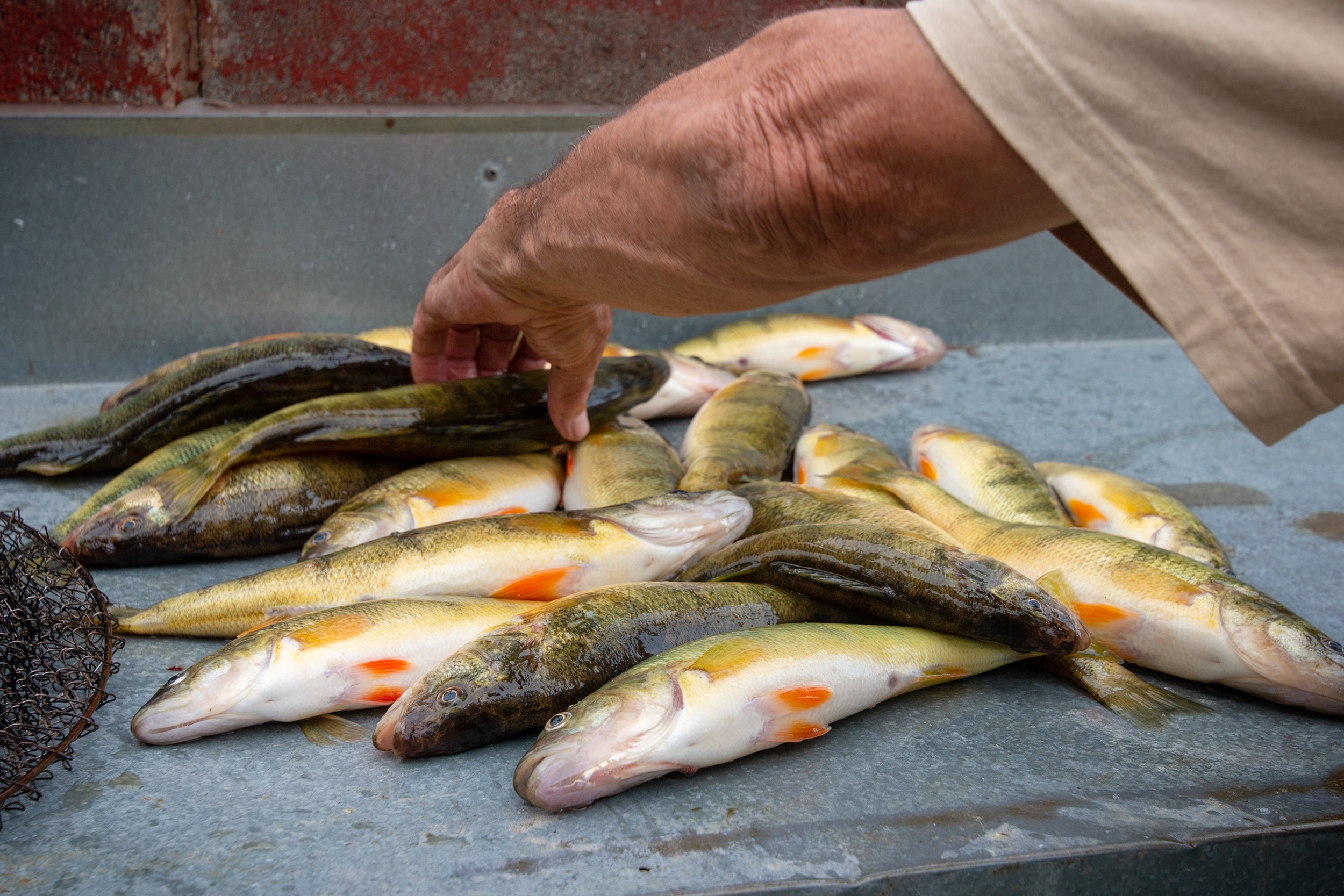
“If it were to burst, would it be able to get into where I fish most of the time?” said Corbiere, who eats what he catches. Manitoulin is known for its whitefish, and local and commercial fishermen on the island also catch perch, trout and more.
“I believe in preserving the land. Just being Native on the island, it’s a great place to be and I love wild nature.”
If a spill were to happen, Schwab’s simulations showed about a one in five chance that oil could be floating in the water along the ferry’s path. “This is the first time I’m hearing this,” said Shubhomita Sengupta, who was visiting Manitoulin for the second time, getting there on the Chi-Cheemaun.
“We’re visiting this area for the second time and I thought it’s pretty well preserved…and it’s not much polluted the way Toronto is,” she said. “My origin country is actually a third world country, to be honest. And we have gone through a lot of issues where the natural resources have been destroyed.”
Shelly Deforge, who’s from the Manitoulin Island community of Tehkummah, said learning about Line 5 and the risk of a spill made her feel a “little bit emotional.”
“If it does affect the wildlife and the places around here, obviously, it’s going to have an impact on the land itself,” she said. “It would be best if it was not to burst, but yeah, it would also be best if it wasn’t there in general, because you never know.”
Kyle Potts lives on the Bruce Peninsula, on the southern end of the Chi-Cheemaun’s route. He hadn’t heard about Line 5 before, but wanted to know more about how it could be made safer.
In response to such concerns, Enbridge is seeking to replace the section of the pipeline below the Straits of Mackinac and build a tunnel to house it. “Placing a new pipeline in a new Great Lakes Tunnel will provide extra layers of safety and environmental protection and make what is currently a safe pipeline even safer, while creating Michigan jobs and securing the needed energy for consumers in Michigan and the region,” Sutherland said in an email.
The United States Army Corps of Engineers is currently consulting the public about that project as it assesses the tunnel’s environmental impact. If it were to go ahead, it would need other permits as well, and the project would take years to build.
“I’d like to know more information on that if they were to proceed,” Potts said about the possibility of a tunnel.
Others were less worried about the environmental risk of the pipeline, and more concerned about what a shutdown could mean for energy supplies. Lori Bayes, who lives on the Bruce Peninsula, said she’s all for Line 5 as long as it can be made safe, and if oil companies can be liable for it.
“Trying to find the safest way to get it down here is best,” she said. “A pipeline sounds really good as long as it can be made safely, and strong enough that … it’s not gonna be damaged by boats. Because taking it by train and truck, I don’t think is good either. Because we need it. There’s no way around it, unfortunately, at this point in our life. Sun and solar, living where we are, we can’t depend on that.”
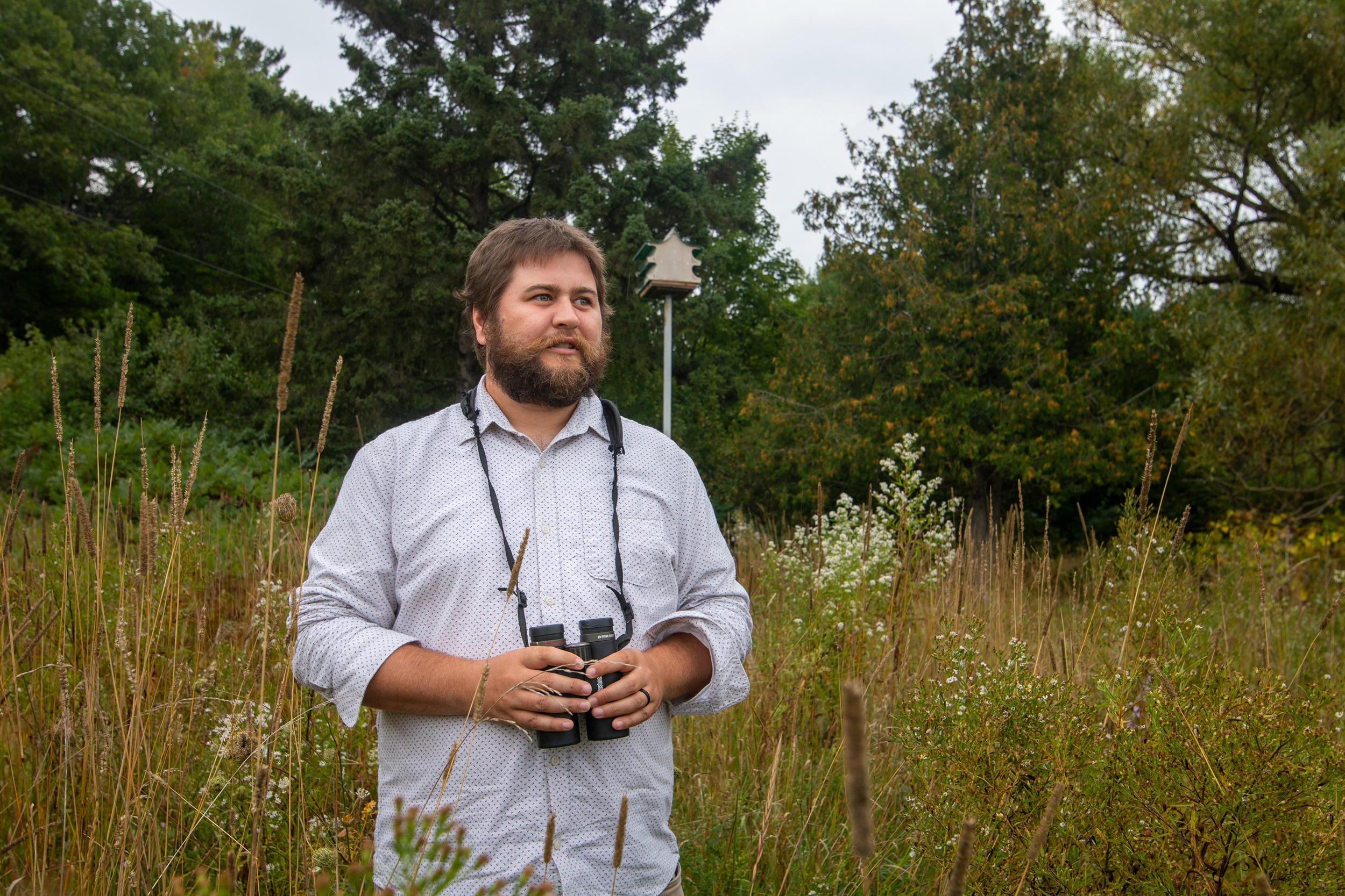
On the other end of the archipelago, on lush St. Joseph Island, Carter Dorscht is a frequent visitor during bird migration season in the spring. There’s a migratory bird sanctuary on federal government land on the southern tip of the island, and his dad lives on the way, so Dorscht will often pick him up to go together.
“There’s a long list of usual birds,” Dorscht said. “Like in May, we get up to 80 or 90 species in a day there, which is pretty good.” The main attraction for him is the abundance of warblers and other woodland birds. A few waterfowl and the occasional shorebird hang out at the bird sanctuary, but more often, they fly overhead.
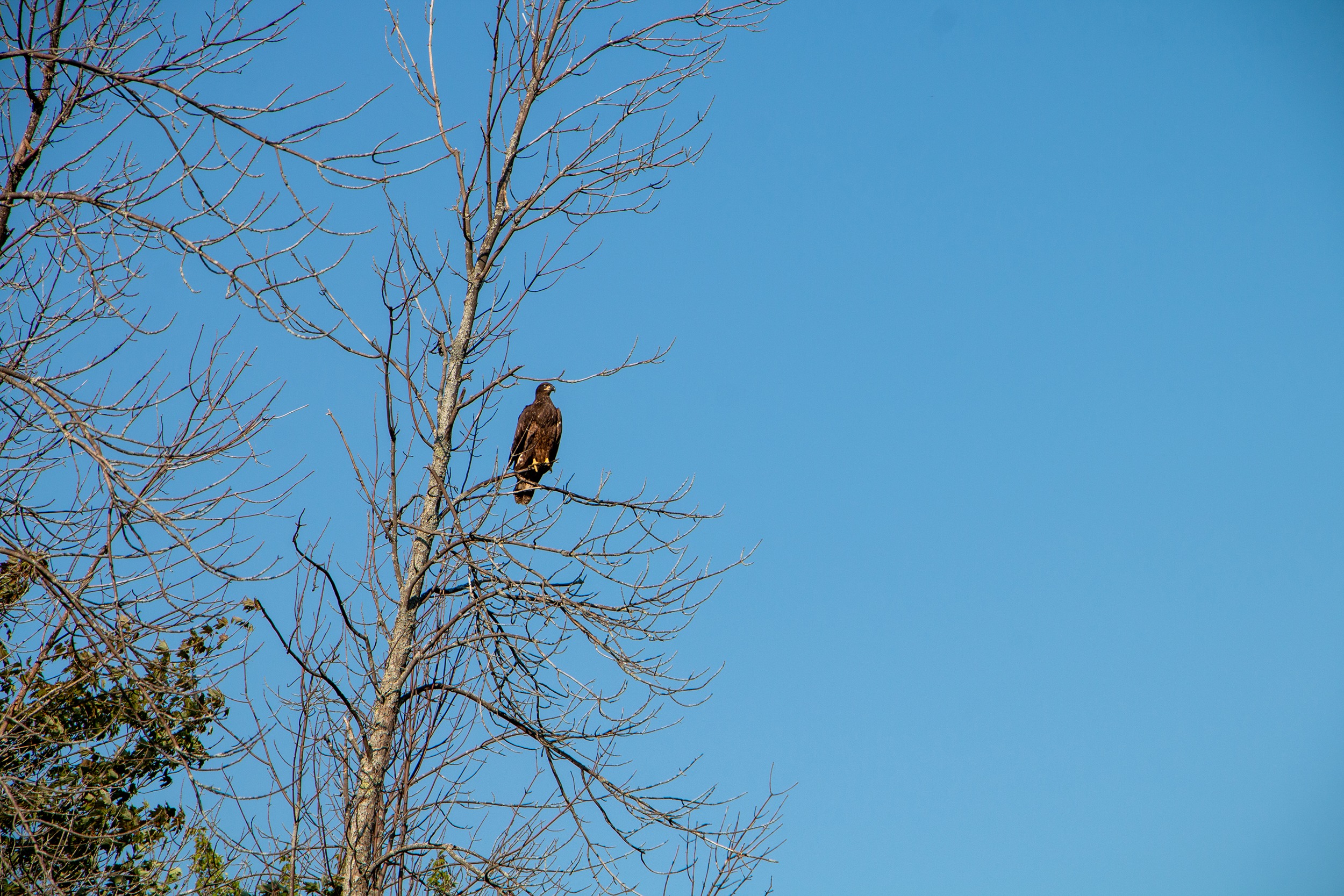
Schwab’s modelling shows that oil from a Line 5 spill could make it to the waters around the bird sanctuary, though it likely wouldn’t cause significant environmental impacts on the shoreline. On a visit there in September, The Narwhal spotted eagles — which eat fish — soaring overhead, and a kingfisher perching by the water.
Though he’s not an expert, Dorscht said he doubts a Line 5 spill would have much of an impact on the bird sanctuary. “It would be unfortunate if that ever happened, but it’s hard to predict what the extent of it would be,” Dorcht said after reading over Schwab’s research.
Last year, Canada invoked a 1977 pipeline treaty with the United States in an effort to kickstart international negotiations over the fate of Line 5. Niganobe, of the Anishinabek Nation, calls this “double speaking” — he finds it ironic that Canada is trying to rely on treaties to get what it wants when Canadian courts have ruled again and again that the federal government in turn has violated its treaties with First Nations.
Pat Madahbee, a former Anishinabek Nation grand chief who lives on Manitoulin Island, said people often focus on the economic benefits of the pipeline but fail to consider the economic benefits of water. Manitoulin’s economy partially relies on tourism, which could be impacted if oil were to reach its shores. Supplying clean drinking water to the region in the case of a spill could be quite costly.
“The Canadian government and Enbridge are all hell bent on… not taking this seriously, and this is part of a big problem,” he said.
“The reality is, I don’t think enough people are really aware of the dangers.”