


Federal Environment Minister Steven Guilbeault has agreed to scrap a draft framework for a regional assessment in the Ontario Ring of Fire region and start over, working with First Nations.
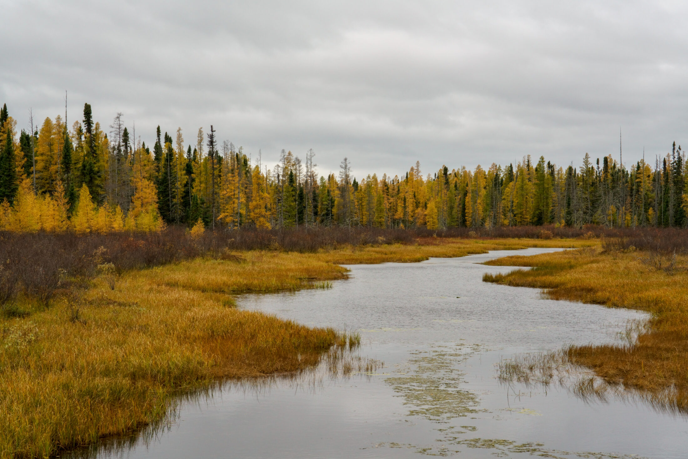
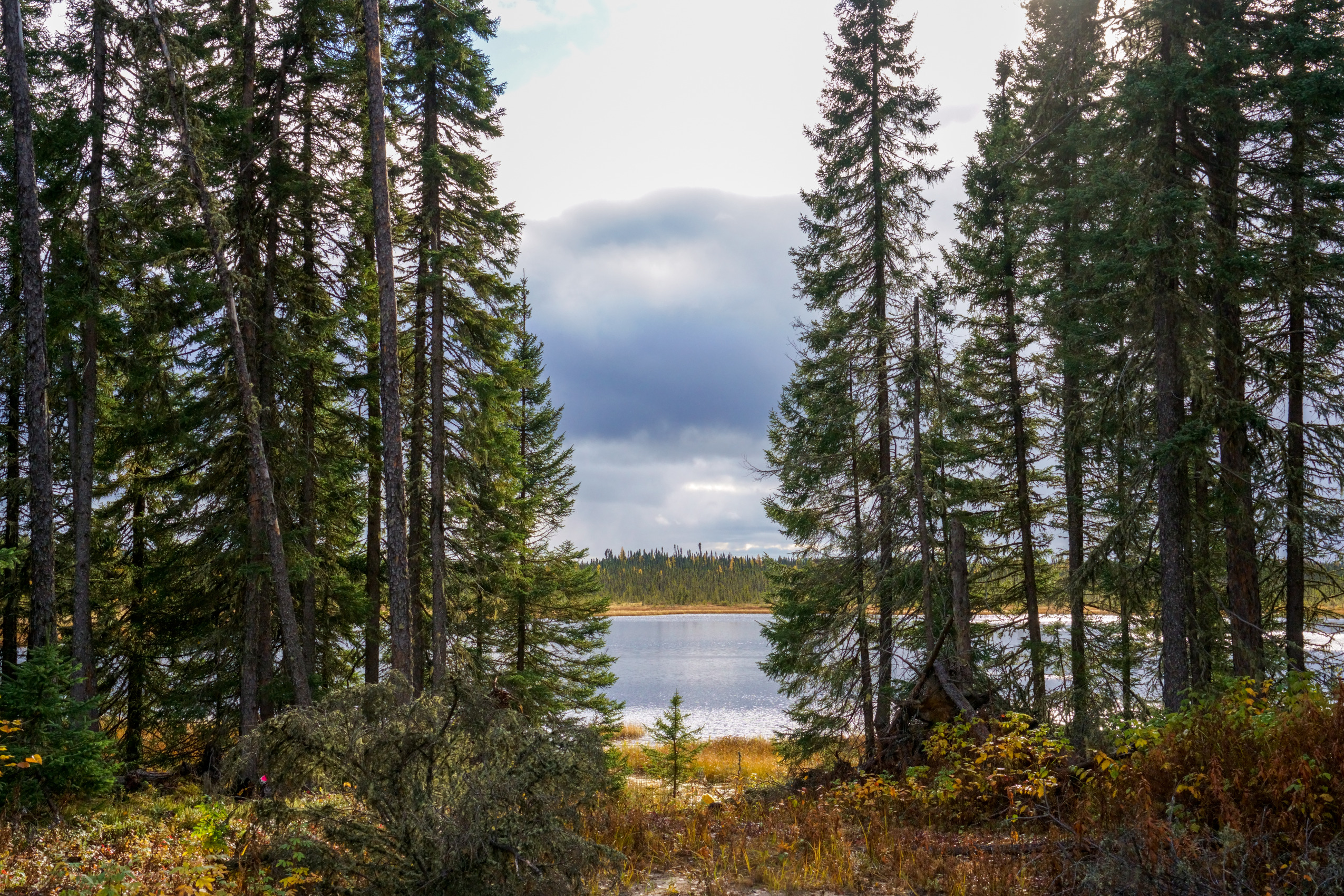
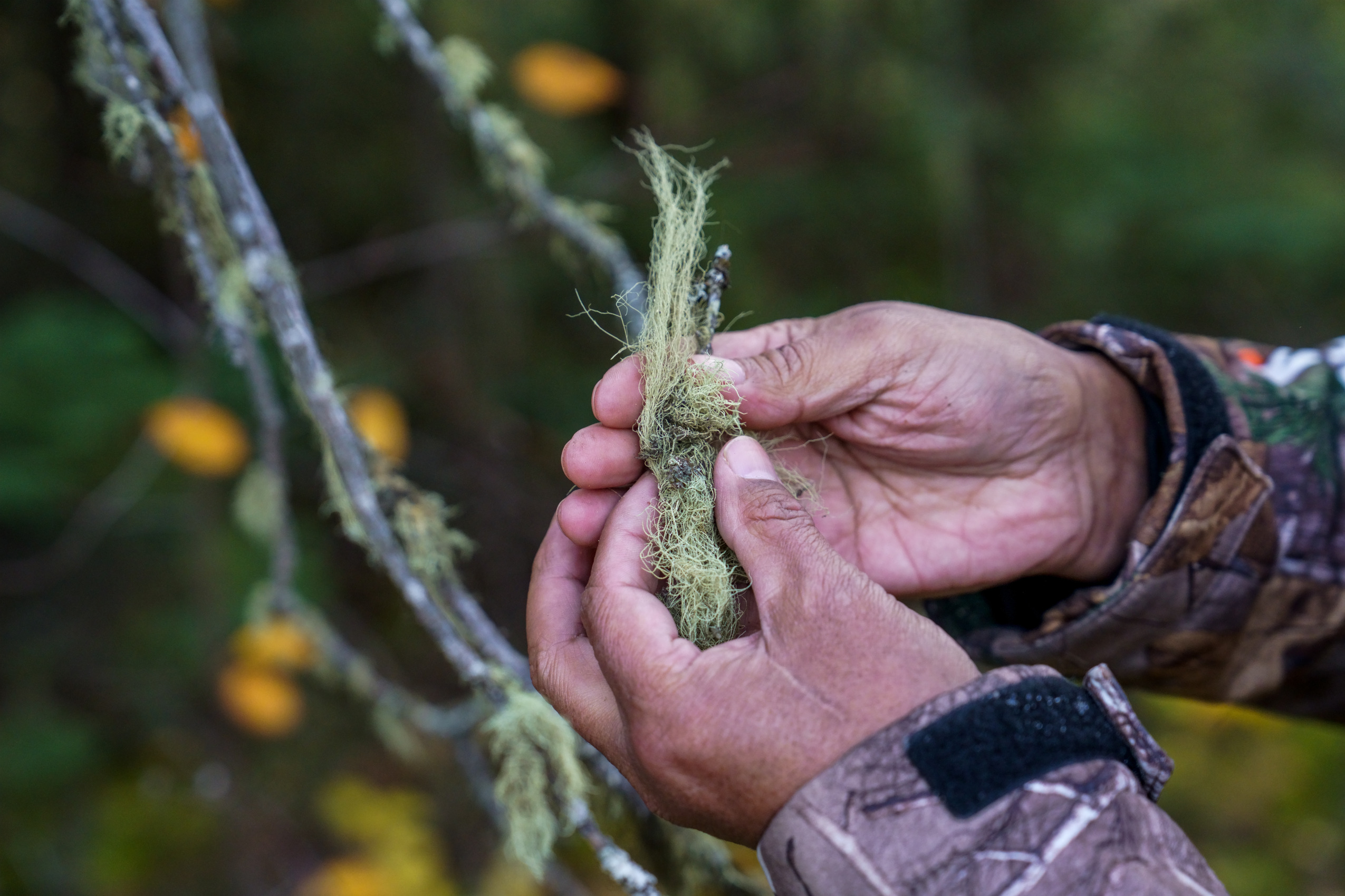
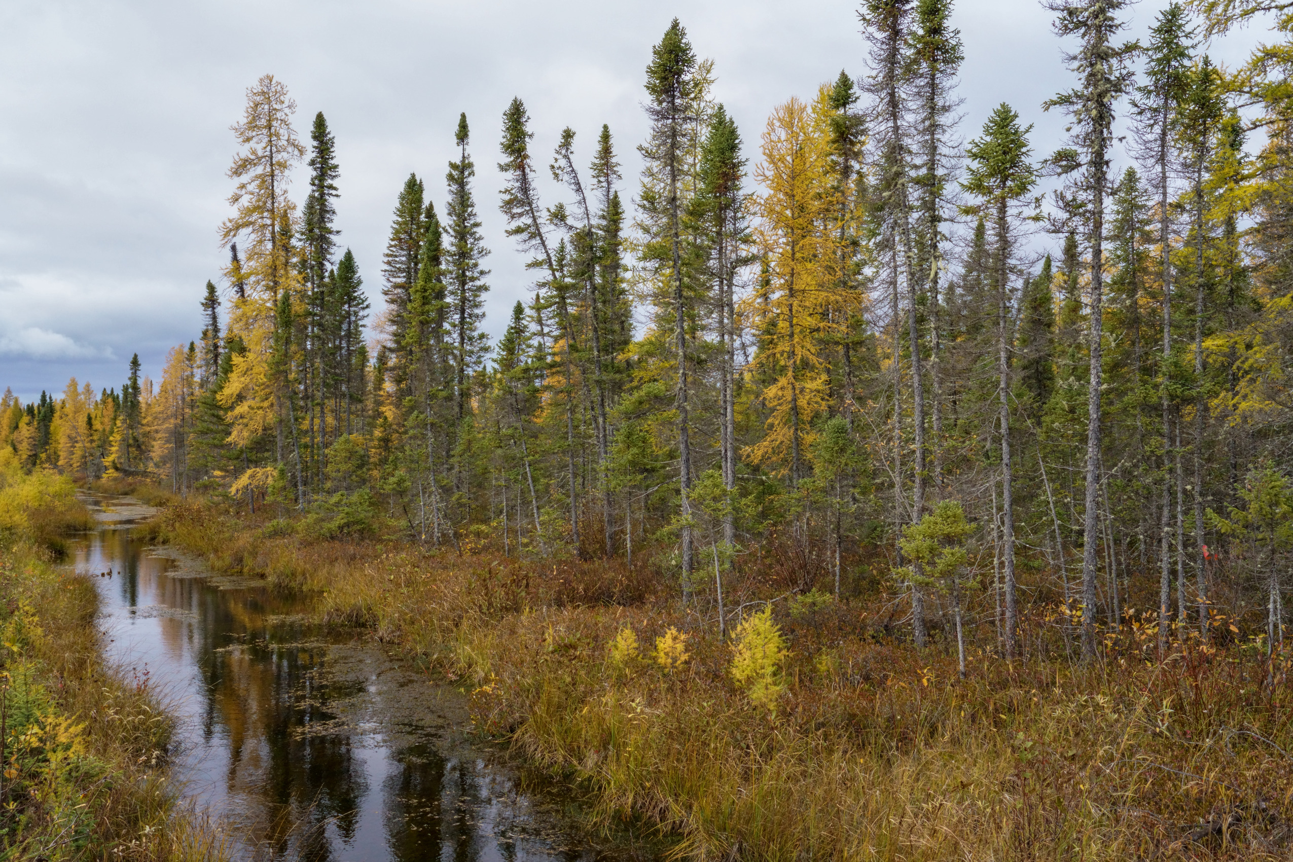
For over a decade, governments and companies have sought to mine in the remote and environmentally-sensitive area known as the Ring of Fire. Accessible only by plane, or ice road in the winter, it’s located in the James Bay Lowlands and has deposits of key minerals that some people want to mine to fuel the production of electric vehicles. The federal Impact Assessment Agency has been working on a regional assessment in the area for the last three years, a review which is meant to use western science and Indigenous Knowledge to inform future development.
That process has moved forward slowly so far, with several First Nations raising concerns about the first draft of the rules that are supposed to guide the process, the terms of reference. Last year, the chiefs of five First Nations asked Guilbeault to toss those terms out entirely, saying they focused on too small of a geographic area, didn’t include all of the types of development that could happen and limited First Nations to “token” roles.
Guilbeault has now agreed to start over with the terms of reference, according to a letter sent to the chiefs of several affected First Nations in February. The letter was shared with The Narwhal by Aroland and Attawapiskat First Nations. In it, the minister said the government would co-write new terms of reference with affected nations and the province.
“The aim for co-development of the draft terms of reference is six months,” Guilbeault wrote in the letter, dated Feb. 15.
Technically, the regional assessment is a separate process from all of the other environmental assessments that are possible or already underway in the Ring of Fire. But politically, it’s looking like the regional assessment will need to be finished before other projects in the Ring of Fire — like access roads or the mining they could enable — can go ahead.
The provincial government is seeking to build access roads to the Ring of Fire, backing proposals led by Marten Falls and Webequie First Nations to make it happen. But Ontario has only put up half of the more than $2 billion that would be required, and has asked the federal government to cover the other half. Ottawa has signalled interest in the deposits in the Ring of Fire, which include items on its priority list of “critical minerals” needed to build lower-carbon technology like electric vehicles. But federal Natural Resources Minister Jonathan Wilkinson has also said he won’t decide either way until various environmental reviews, including the regional assessment, are finished.
Speaking to The Narwhal at a press conference in early March, Guilbeault said the federal government is looking to “almost systematically” change the way environmental assessments in Canada are done. For a long time, those assessments almost always ended with a “yes,” the minister said. But that’s not the way it works anymore, he added.
“It may be the case that there are places where we won’t be able to go because we’ll agree that it’s too ecologically sensitive or culturally very important for Indigenous Peoples,” Guilbeault said.
“I think that’s fine. The idea that we’re simply going to bulldoze over their concerns is something of the past, and I have a lot of support around the cabinet table for proceeding this way.”

The federal government hasn’t made any decisions yet about the future of the Ring of Fire, which is home to carbon-rich and sensitive peatlands and important habitat for iconic species like caribou. Guilbeault said the government is seeking to do more impact assessments jointly with First Nations.
“It’s clear to me that there is no access to critical minerals in Canada without Indigenous Peoples being at the table in a decision-making position,” Guilbeault said.
“The days where we could just go into their territory and use their resources and think of it as an afterthought, I think those days are over as far as the federal government is concerned … It can’t just be about what we want, it has to be about what they want as well.”
Finalizing Ring of Fire terms of reference just the beginning
Guilbeault’s letter was sent as a follow-up to a meeting he had with chiefs in January. In his letter, Guilbeault said he wanted to ink a “relationship agreement” with the First Nations and signalled he was open to widening the geographic scope of the terms of reference, but didn’t make firm commitments on what the new framework would look like. He also said the federal government would fully fund First Nation partnership in the regional assessment.
The Impact Assessment Agency did not answer questions from The Narwhal about the details of the process by deadline, but in answers sent after this story was published, it said the relationship agreement was proposed by “some Indigenous leaders and accepted by the minister,” though its specifics and timeline haven’t yet been determined. The agency didn’t directly answer when asked how much funding would be set aside for First Nation participation in the process. The six-month timeline for the process was suggested by Guilbeault, the agency said.
“This proposal was generally supported by Indigenous leaders who also proposed proceeding with the [regional assessment] promptly, and on a priority basis,” the agency said in an email. “Discussions are underway with potential Indigenous partners and the province of Ontario in this regard.”
Kate Kempton, a lawyer representing Attawapiskat and Aroland First Nations — both located near the Ring of Fire — said she still has some concerns, but the next step is for the federal government and First Nations to hammer out the new terms of reference together.
“The [regional assessment] is by far the best opportunity to understand the actual potential consequences of what might happen in and to the region and the human beings and other beings that live there, and globally in terms of the climate,” Kempton said.
“So it’s critically important that this happens right, but we have a shot at it now.”
Aroland First Nation Chief Dorothy Towedo said in an email that finalizing terms of reference that are acceptable to all the First Nations in the region is just the beginning of resolving her concerns. Proposed road development would run through Aroland, and lead to enormous change in the lives of the community. Though Towedo said she understands the need to do things quickly, six months might not be enough, as “we owe it to our children and our grandchildren to do this right and not rush into anything.”
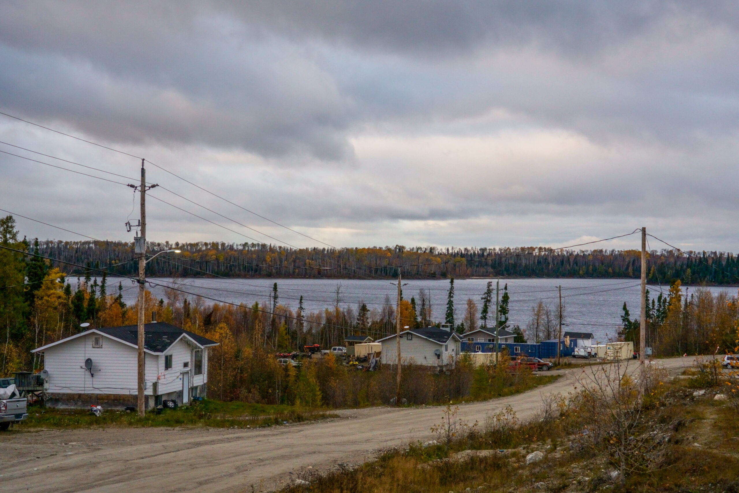
“We are a small community and our staff and leadership are already stretched to the limits of what they’re capable of because we have so many responsibilities to our people,” Towedo said.
“Timelines like this are a colonial imposition that don’t allow us to account for these challenges.”
‘Our people should have the right to have a big say’
Regional assessments are a fairly new federal process. The idea is to go beyond the scope of one individual environmental assessment for one specific project — the regional process can consider the cumulative effects of future projects in an area, or collect data that can inform decisions down the line. There isn’t a lot of precedent for what it might look like or how long it could take.
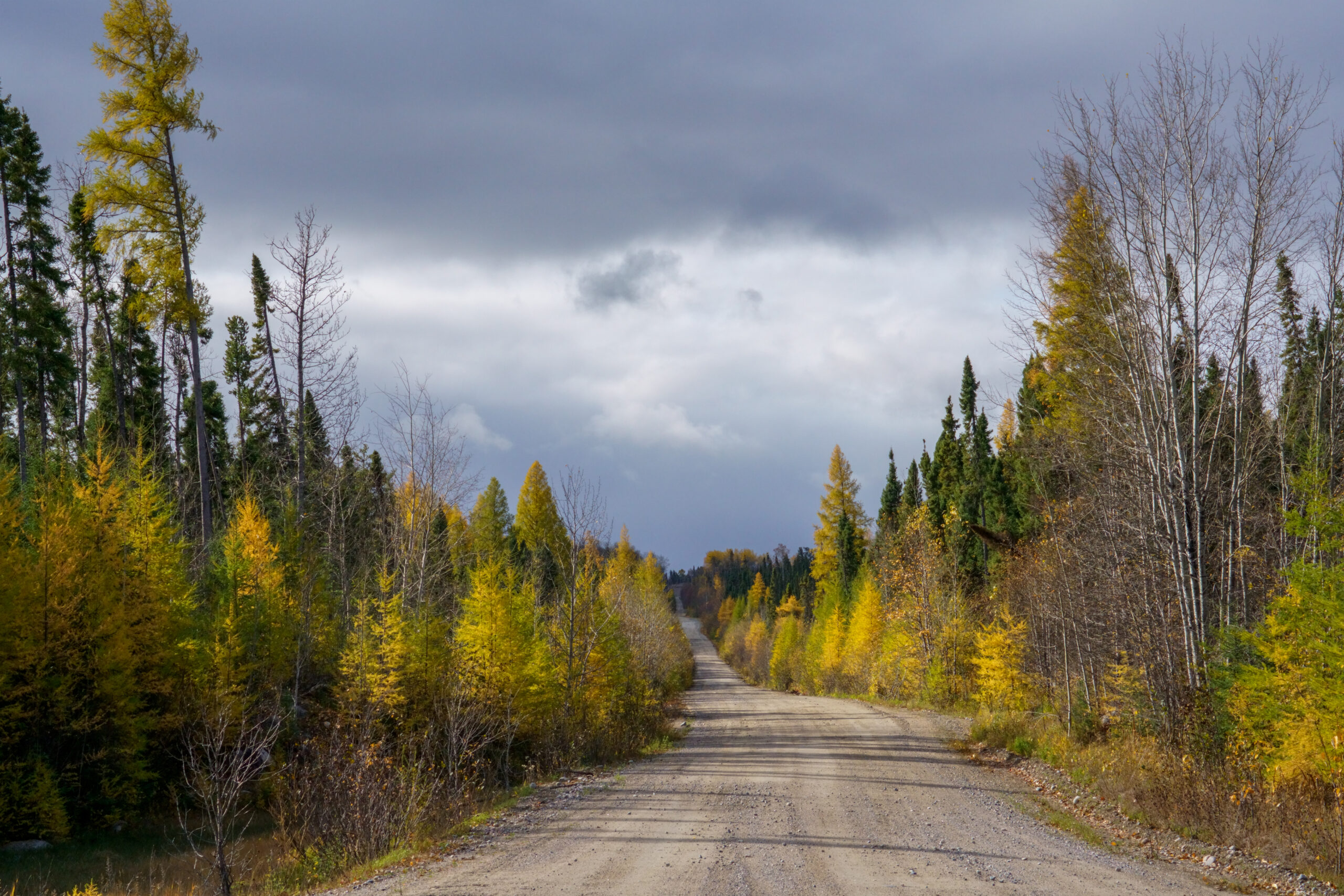
While that process plays out, there are also individual provincial environmental assessments underway for each access road proposal. Marten Falls and Webequie First Nations are leading plans for three roads which, if built, would link their communities with the Ring of Fire and with the provincial highway network to the south. For their communities, roads aren’t just to enable mining, but also a connection to economic opportunities and better services.
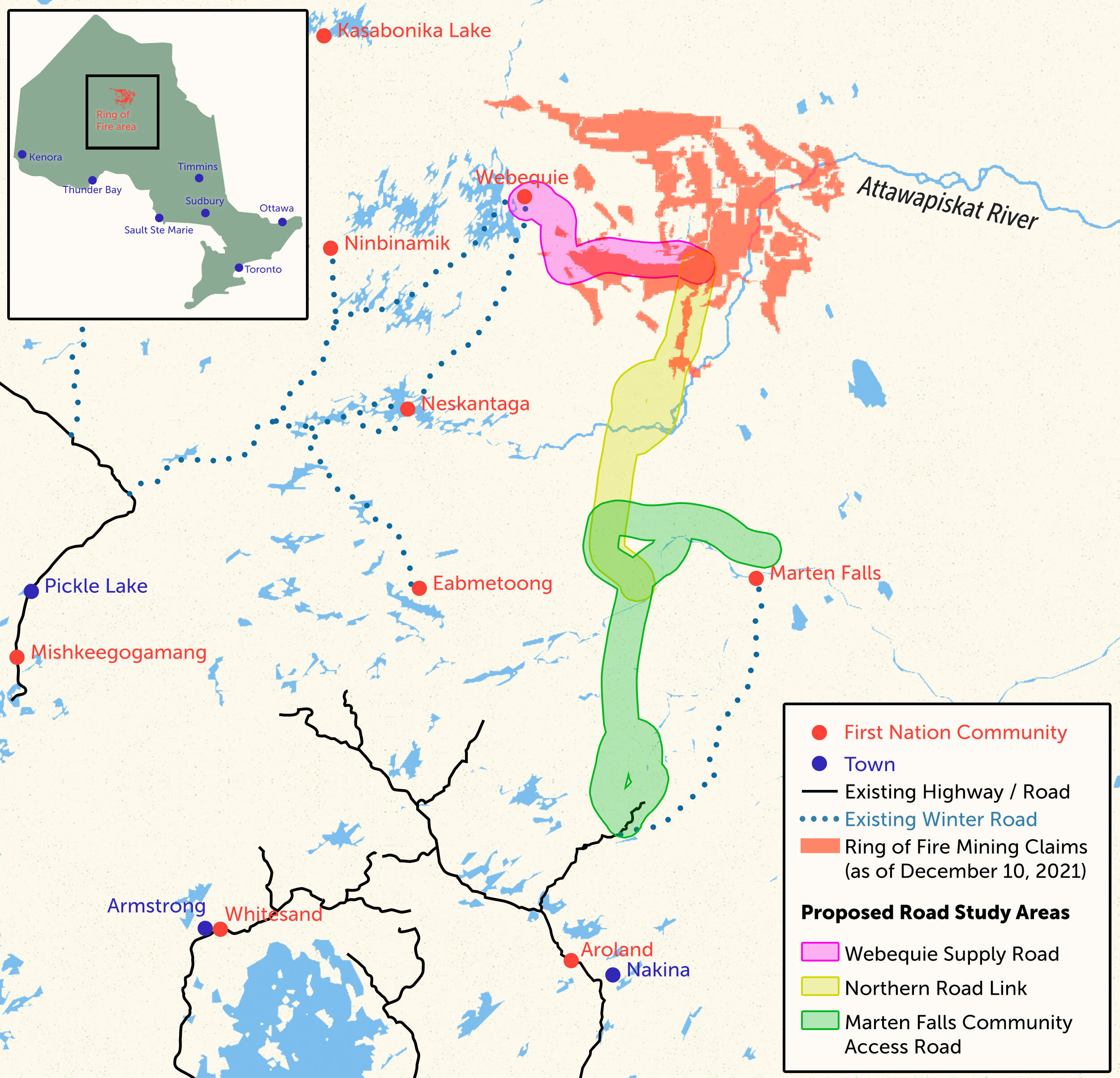
The terms of reference for those three environmental assessments are now final. The Ontario government officially signed off on the third and final one on March 6, making the announcement at the Prospectors and Developers Association of Canada mining conference in Toronto.
Speaking Monday at the conference, Webequie Chief Cornelius Wabasse welcomed the news and said his First Nation is safeguarding its territory as it always has even as it moves toward change. “For time immemorial, we have taken care of the land, the animals, the way we were taught, and we continue to do that as we move forward.”
Marten Falls Chief Bruce Achneepineskum also said it was an exciting moment. “Our youth are the hardest hit right now in terms of socioeconomic issues, and we want to improve that through better services, better infrastructure and building our communities,” he said.
Chief Wayne Moonias of Neskantaga First Nation, which is southwest of the Ring of Fire’s mineral deposits, said he wasn’t invited to that press conference. In an interview with The Narwhal afterwards, Moonias said he was frustrated to hear about it after the fact when his community hasn’t yet consented to the road projects. Neskantaga is located along the Attawapiskat River, which a proposed road would cross, and development there will upend their way of life.
“Our people should have the right to have a big say,” Moonias said. “They should have the right to say yes or no to these developments that are going to impact us, not just for today but for the longer term, future generations.”
If anyone wants to cross the river to build anything without their consent, Moonias said, “they’re going to have to run me over.”
“Risking your own life, when we say this, it’s not a bluff,” he added.
“This is something that the public should be made aware of. This is something that the investors should be aware of. You don’t have stability when you don’t have all the First Nations that are going to be impacted on board.”
Speaking at the press conference, Ontario Minister of Mines George Pirie dodged questions about how roads to the Ring of Fire would be funded, how long construction might take and how the newly-extended timeline for the federal regional assessment might affect the process.
“We won’t deal with hypothetical questions at all,” Pirie said. “We’re very satisfied with the province’s progress.”
Ontario Environment Minister David Piccini, however, said the province is working to ensure the road projects aren’t delayed “to the point where we miss this incredible opportunity.”
“I choose the Indigenous youth that the chief mentioned anyday over critical minerals extracted elsewhere in the world that have no commitment to [environmental, social and governance policies], no commitment to any sort of partnership with Indigenous communities,” Piccini said.
“The federal government has to work quickly with us at each step of the way and to date, it’s been very progressive.”
Updated March 10, 2023, at 4:16 p.m. ET: This story was updated to clarify the timeline of the regional assessment process and to include responses from the Impact Assessment Agency of Canada.