


A five-year-old Stephanie Thorassie sat in front of her father on his snowmobile, nestled between his legs as he drove away from their home in Tadoule Lake, Man. They went over two hills before descending to a beach. Thorassie was stunned.
“On the beach, there were thousands of caribou — right behind my house!” she said, reminiscing about her childhood in the 1990s.
Little Thorassie jumped up and stood on the snowmobile while her dad drove them closer to the herd. She couldn’t contain herself.
“Caribou!” she yelled. Her dad laughed. It was her first time being so close to a big herd.
“I was just … floored,” she remembered. “I could literally touch the caribou if I wanted to.”
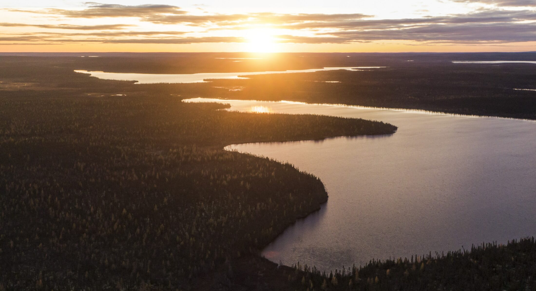
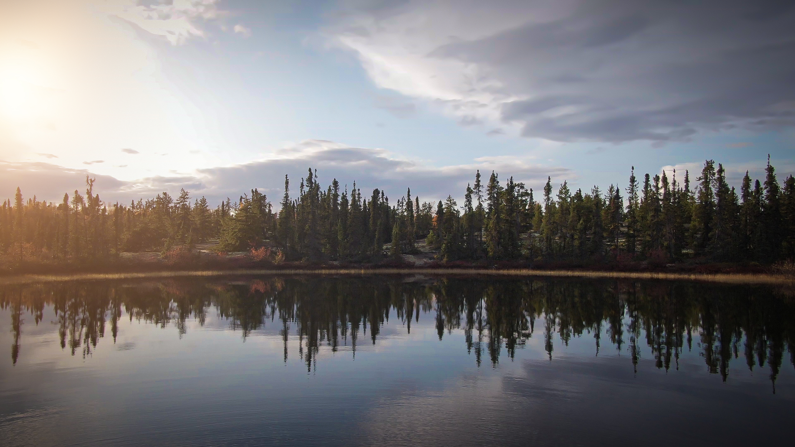
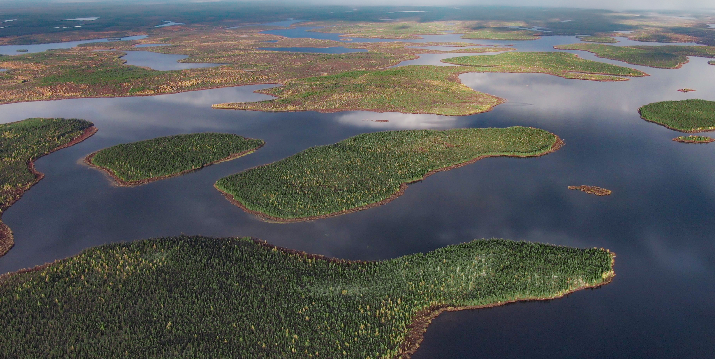
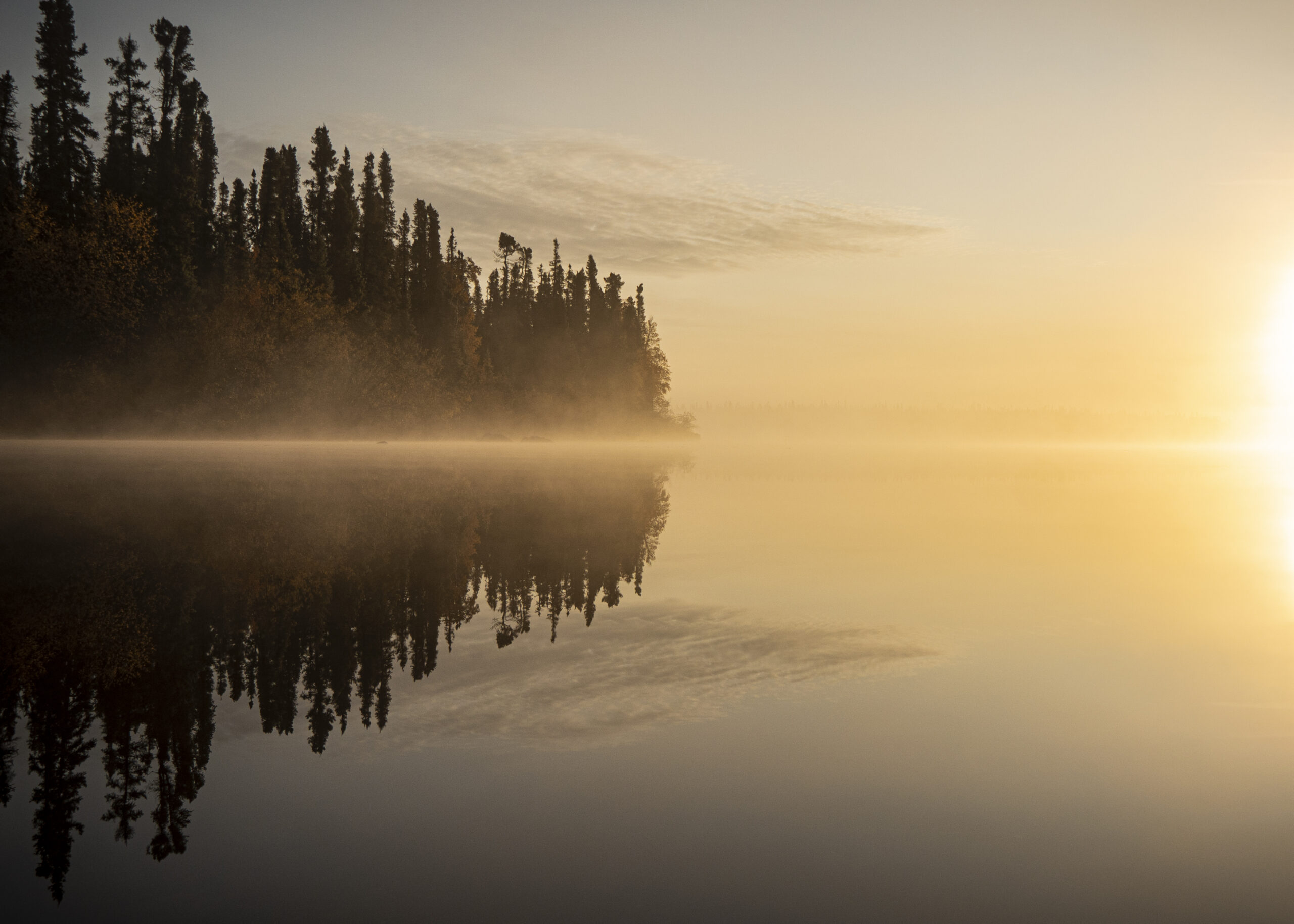
Tadoule Lake is a Sayisi Dene community nestled in the Seal River Watershed, a vast, intact landscape that stretches across northern Manitoba from Hudson Bay almost to the Saskatchewan border. It’s dotted with trees, lakes and wetlands. Sandy hills left behind from glacial rivers, called eskers, snake across the land. The Sayisi Dene and the caribou have lived in relationship with the Seal River Watershed for many generations.
The 50,000-square-kilometre area — about the size of Nova Scotia — has escaped dams, mining and colonial settlement. It’s home to millions of birds, along with polar bears, moose, beluga whales and, of course, its namesake seals. The Seal River is also the only major river in Manitoba that is not dammed.
The Seal River Watershed, which is about the size of Nova Scotia, has thus far escaped dams, mining and colonial settlement, and the Indigenous communities who live in the area are determined to keep it that way. Photo: Chris Paetkau / Build Films
The Sayisi Dene are taking matters into their own hands to ensure the watershed stays this way.
The nation has joined forces with the Northlands Dene, O-Pipon-Na-Piwin Cree Nation, Barrenlands Cree Nation and Inuit of the Kivalliq region of Nunavut, all of whom live within or travel to the watershed. They have formed the Seal River Watershed Alliance with the goal to make the Seal River Watershed an Indigenous Protected Area. The alliance has partnered with the Manitoba chapter of the Canadian Parks and Wilderness Society (CPAWS) and the Indigenous Leadership Initiative to make the project happen.
Once established, it will be larger than Wood Buffalo National Park, Canada’s biggest national park, which is 44,800 square kilometres.
Protected area will allow Indigenous Peoples to protect declining caribou herds
An Indigenous Protected Area isn’t about keeping people out. It’s about protecting Indigenous Peoples’ ability to practise tradition and culture on the land and act as stewards.
Ernie Bussidor, a member of the Sayisi Dene First Nation and executive director of the Seal River Watershed Initiative, said he had been pushing for years for better protection of barren-ground caribou, which the Committee on the Status of Endangered Wildlife in Canada lists as threatened.
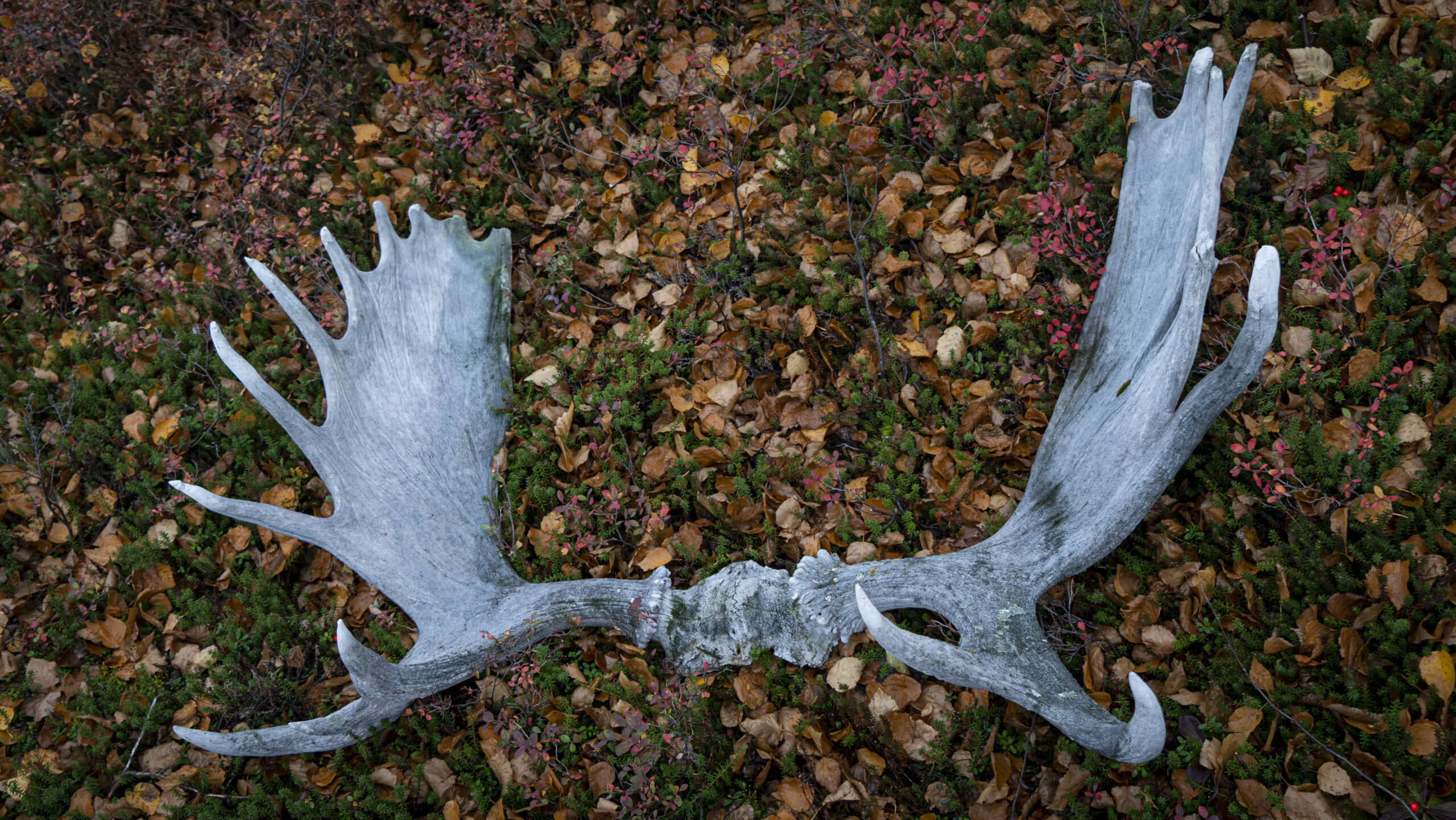
Moose antlers in the seal watershed. the watershed is home to moose, polar bears, beluga whales and two herds of caribou each winter. Once plentiful in the area, caribou numbers have plummeted since the 1990s. Photo: Chris Paetkau / Build Films
Two herds winter in the watershed every year. The Beverly herd declined between three and four per cent every year between 2011 and 2018, with numbers just over 100,000 today. The Qamanirjuaq herd plummeted from almost 500,000 in the 1990s to under 300,000 by 2017.
“I was screaming for a way to protect the area, to keep mines out, to keep hydro away from our communities,” Bussidor said. Then he met with CPAWS Manitoba and the idea of a protected area with Indigenous Peoples as its stewards was born.
The Sayisi Dene have good reasons to want to take protection of the watershed into their own hands. In 1956, they were forced off their territory by the federal government, which wrongfully blamed the small nation for declining caribou numbers (in fact, industry and climate change are the main culprits).
The relocation was a “horrendous experience,” according to Bussidor. People were moved from resource-rich lands to barren areas on the outskirts of Churchill. The people suffered and the caribou continued to dwindle.
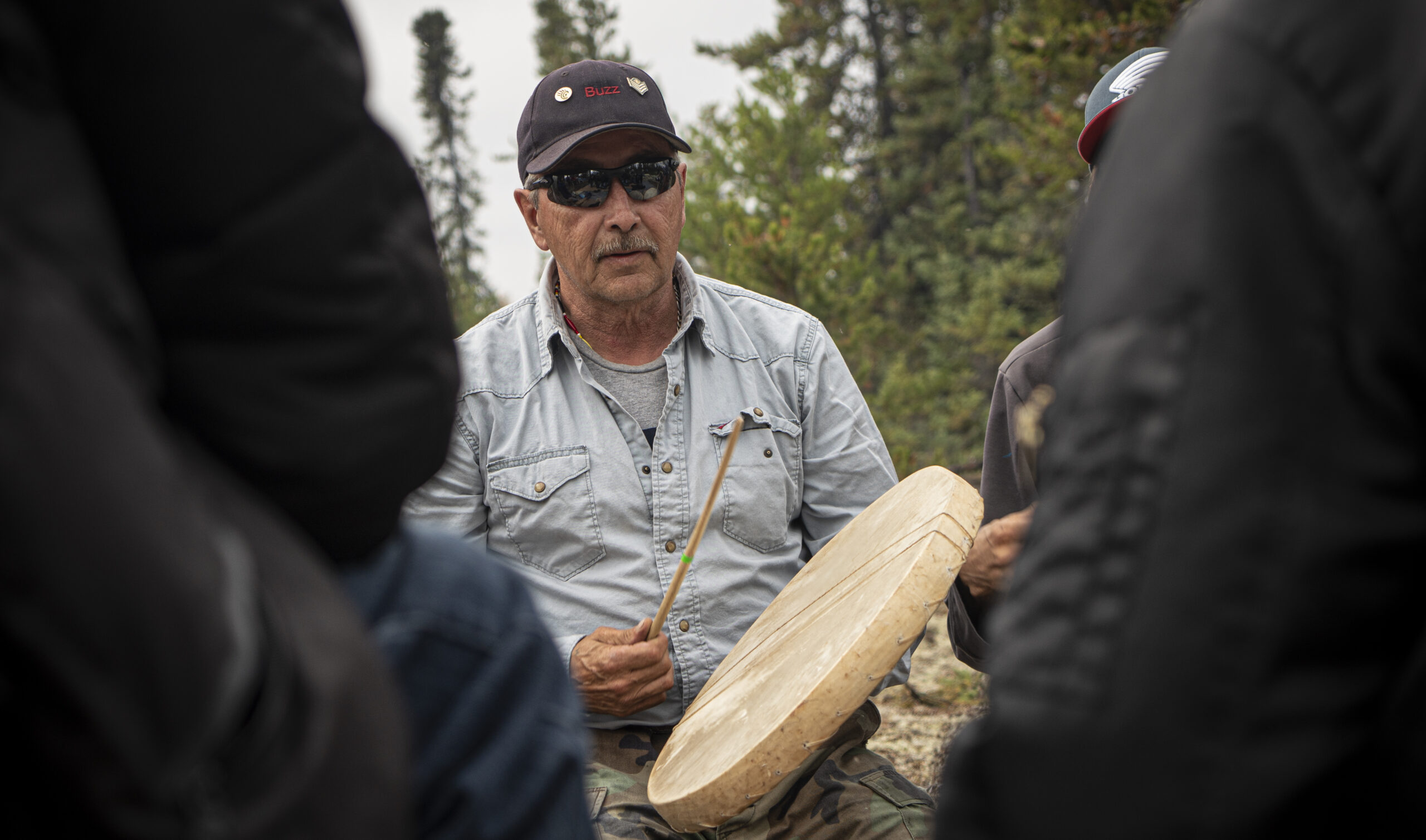
Ernie Bussidor, member of Sayisi Dene First Nation and executive director of the Seal River Watershed Initiative, has been pushing for greater protections of barren-ground caribou. Photo: Chris Paetkau / Build Films
Now, the Sayisi Dene are reclaiming their place as protectors of caribou.
“We want to protect them, which is something we’ve always done. They labelled us as killers of caribou. We aren’t,” Bussidor said.
The federal government invested $3.2 million in the protected area in August. While COVID-19 has caused some delays, the coalition hopes to establish the protected area in 2022.
‘We were told the caribou were in decline and it was because of us’
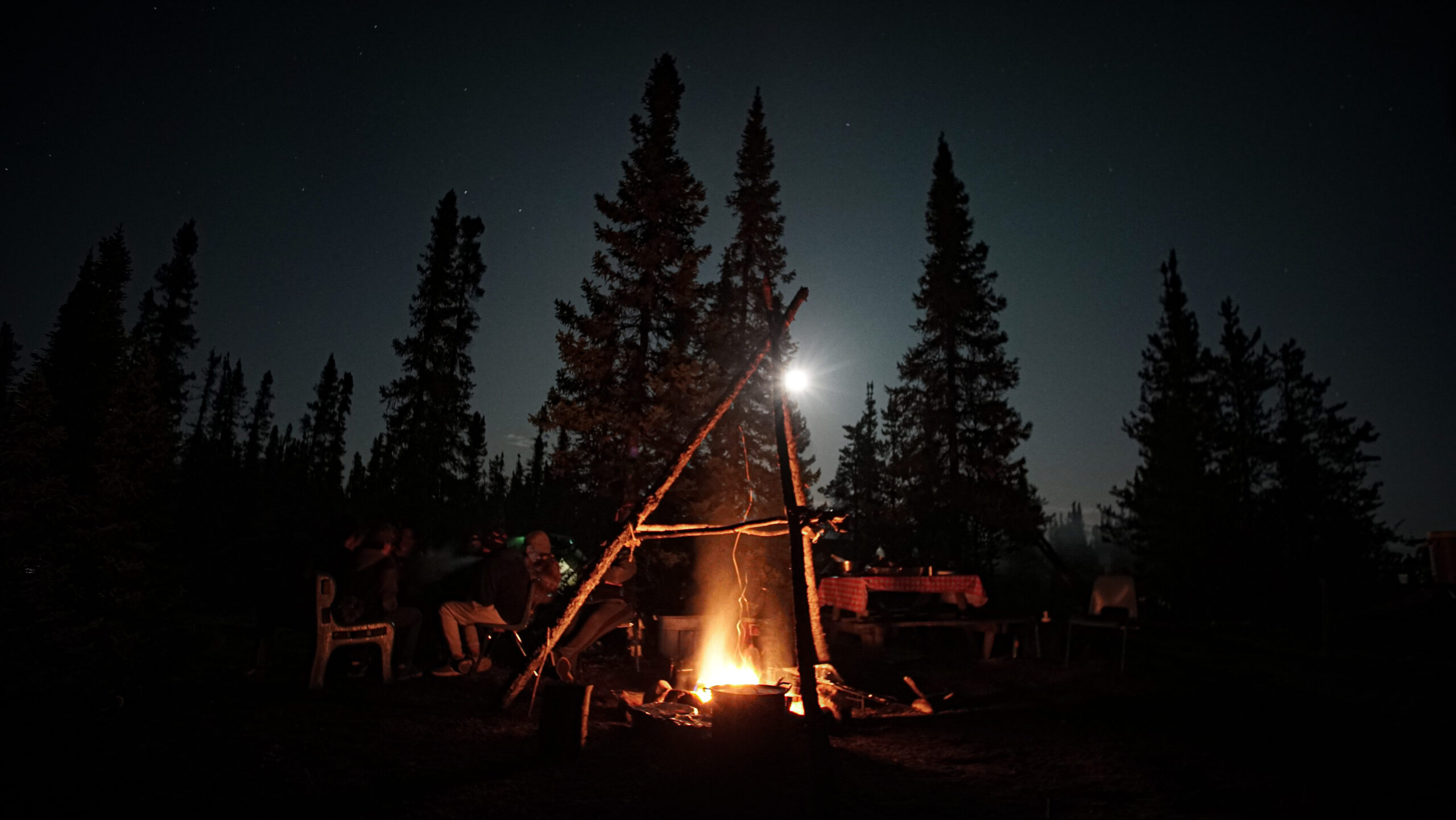
The Sayisi Dene know how to use the cold. Before they were relocated, hunters would butcher the caribou they needed in autumn and leave the rest on the beach. When winter came, the caribou carcasses would be covered in snow and ice, which acted as a “natural freezer,” Thorassie explained. When someone needed more meat in the winter, they would take a long stick and pierce the snow a few feet deep. If the stick came out with caribou hair on it, they’d found their caribou.
“Then you knew you could feed your family,” she said.
But when Delores McFarlen, a provincial government worker, took pictures of the caribou carcasses lined up on the beach in 1952, Indian agents got the wrong idea. They blamed the Sayisi Dene for declining caribou numbers.
“We were told the caribou were in decline and it was because of us. And our community was almost decimated because of it,” Thorassie said.
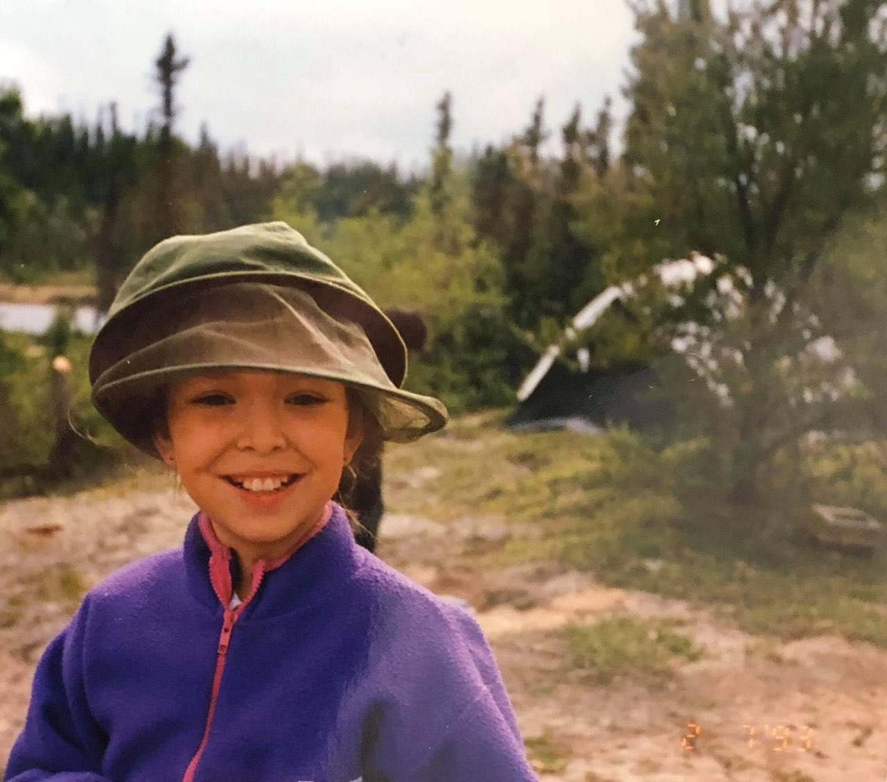
Stephanie Thorassie as a child camping. Photo: Gladys Powderhorn
Decades later in the 1990s, filmmakers Allen and Mary Code tracked down McFarlen for their documentary about the Sayisi Dene, Nuhoniyeh: Our Story.
“It wasn’t very long after that I saw a big story in the newspaper … based on the fact that Indians were no longer considered conservationists all because of these pictures I had taken,” she said in the film. “And I thought, ‘What on earth have I done by taking these pictures?'”
The government forcibly moved the Sayisi Dene to Churchill in 1956, where there were no caribou. When the people arrived, they didn’t have proper housing. Thorassie’s father told her he had to go to the dump to feed himself.
“We lost one third of our community during the 17 years we lived in Churchill,” said Bussidor, who was born there.
“They froze to death. They were murdered. They’re missing. There are really bad stories,” Thorassie said. “Everybody still feels the effects today.”
The Sayisi Dene decided to leave Churchill in 1974, scouting the land until they found a place to live: Tadoule Lake.
Bussidor had gone to high school in Winnipeg and moved to the community afterward, finally able to live on his traditional land.
“The story is that when our people got to Tadoule Lake after living in Churchill, where they couldn’t live off the land, they literally thought they died and went to heaven,” said Thorassie, who was born in Tadoule Lake. “You could go out and provide for yourself. You could go out and get wood and keep your house warm. They were strong again. They thrived.”
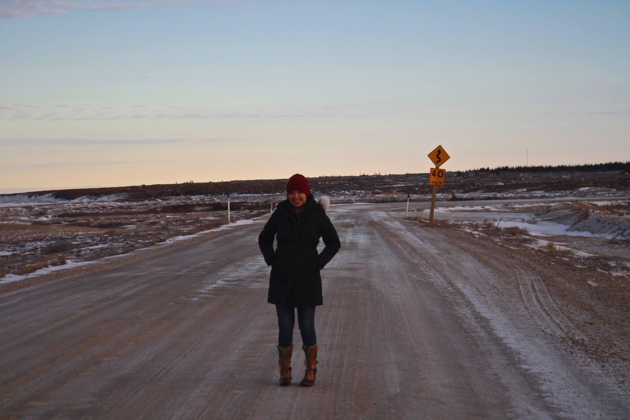
Stephanie Thorassie poses in Churchill, Manitoba. The Sayisi Dene were forcibly removed to Churchill by the Canadian government in 1956. They relocated in 1974 to Tadoule Lake. Photo: Stephanie Thorassie
“My dad said he never thought he would be able to live like that,” she remembered.
In 2016, the federal government offered an apology to the Sayisi Dene for their forced removal, as well as $33.6 million in compensation. Creating an Indigenous Protected Area is just one part of rebuilding the community after all they lost.
Making a living on their own land
One issue that remains is that residents of Tadoule Lake often have to leave their community to go to school and get work. Bussidor wants the Seal River Watershed Initiative to provide work opportunities for young people to be stewards of the land, so they can make a living at home.
“My dream is to see young people take over this project, make friends with other communities and organize in the common purpose to promote culture and ecotourism as a form of economics,” he said.
Thorassie agreed protecting their territory should be as viable a way to make a living as a nine-to-five office job.
“It’s about creating working spaces that suit the people and set them up for success rather than setting them up for failure,” she said.
They plan to create ecotourism opportunities such as staying in lodges, visiting trap lines, white water rafting and fishing.
One of the hopes for the Seal River Watershed Initiative is that it will provide work opportunities for the young people of Tadoule Lake. Currently, many residents have to leave the area for school and employment. Photo: Chris Paetkau / Build Films
The benefits of Indigenous Protected Areas extend well beyond local economies. An Australian study found every $1 invested in Indigenous conservation generates $3 of returns in social, economic, environmental and cultural benefits.
The Seal River Watershed provides ecosystem services such as natural water filtration and carbon sequestration. The alliance is still estimating how much carbon is stored in the watershed, but the nearby proposed Polar Bear Park has similar geography with wetlands and sub-Arctic forest and stores more than 2.4 billion tonnes of carbon. That proposed park is about 29,000 square kilometres, while the watershed is 50,000 square kilometres.
“It’s a lung to Mother Earth,” Bussidor said.
Initiative will almost double protected lands in Manitoba
If the watershed is a lung to Mother Earth, it’s also a beating heart for the creatures that live there. Seals swim 200 kilometres up the river — unusual for ocean seals — feasting on freshwater fish. Beluga whales travel to the mouth of the river to have their babies. Deep lakes carry trout, walleye and pike so huge they’re “scary,” according to Thorassie.
A waterfowl survey released in April found the watershed is home to significantly more birds than the surrounding prairies, including species of concern like the black scoter — a particularly dashing species of duck with all black feathers and a flaming orange bill.
The protected area will be vast. To put it in perspective, 11 per cent of Manitoba is currently protected. The Seal River Watershed alone accounts for eight per cent of the province. In late September, Canada’s federal government joined the European Union in committing to protect 30 per cent of lands and seas by 2030.
The Seal River Watershed covers eight per cent of the province of Manitoba. Photo: Chris Paetkau / Build Films
Stephen Peterson, director of conservation and research at Assiniboine Park and Conservancy in Winnipeg, has studied animals like polar bears, beluga whales and harbour seals in northern Manitoba. He’s particularly interested in the harbour seals, which he said travel so far up the river partially to find sanctuary from polar bears.
“It’s exciting to see the entire watershed being protected,” Petersen said. “That just gives it so much more resilience. Right from the headwaters down to the ocean, people are on the same page in terms of how they want to manage that landscape.”
He said that means the ecosystem works better as a whole compared to ecosystems disrupted by industry.
“It means you can’t chip away at it like we’ve done so much down south. You chip a bit here, here and here, and in the end you don’t really have a functioning ecosystem anymore.”
As the last remaining undammed major river in Manitoba, the Seal River Watershed plays a large role in the province’s ecosystems, as well as in shaping Hudson Bay. Photo: Chris Paetkau / Build Films
Up to 70 per cent of Manitoba’s wetlands have been lost or degraded. Most rivers have been diverted or altered by dams, impacting fish populations, and less than one per cent of the province’s grasslands remain.
The watershed also plays a role in shaping Hudson Bay. The high level of fresh water coming from rivers in the watershed brings down the salinity of the bay, which is why it sustains seasonal ice and Arctic habitat.
“That kind of drags a bit of the Arctic farther south than it normally would be,” Petersen said.
Indigenous Protected Areas are leading conservation efforts
Indigenous Peoples are rapidly building their capacity to meet their own conservation goals. Two recent examples include the 14,250-square-kilometre Edéhzhíe Dehcho Indigenous Protected Area in the Northwest Territories and the 14,000-square-kilometre Thaidene Nëné National Park Reserve.
In addition, the federal government, Nunavut and the Qikiqtani Inuit Association have signed an agreement to establish the Tallurutiup Imanga National Marine Conservation Area, encompassing 109,000 square kilometres.
While similar protection programs in the Northwest Territories have generated millions of dollars in revenue, for the Indigenous communities who live in the watershed, the value of these lands truly can’t be quantified. Photo: Chris Paetkau / Build Films
Indigenous stewardship results in quick social, environmental and economic returns for the communities leading them. The Lutsel K’e and Dehcho guardian programs in the Northwest Territories have generated $11.1 million in value, with $8.4 million of that value going to the guardians and community members. Another $2.7 million value was created for the government.
But the value of these lands can’t truly be quantified with a dollar figure.
“Imagine you walk in the bush and you hear the lichen crunching under your feet. … You can drink the water right from the lake, it’s so clean,” Thorassie said. “You’re standing on one of those eskers and as far as you can see, there’s little hills of trees, lakes everywhere.”
“You just feel grounded. You feel like you’re good again.”
Bussidor is excited that revitalizing traditional ways of life will provide opportunities for people to make a living on their own land.
“We can just live our lives and keep a wary eye on our territory. That’s something we do every day anyway,” he said.
“But if it benefits humanity, all the better.”