


A massive study of the ocean environment off Torngat Mountains National Park has come to a conclusion: an Inuit-led marine conservation area here should move ahead.
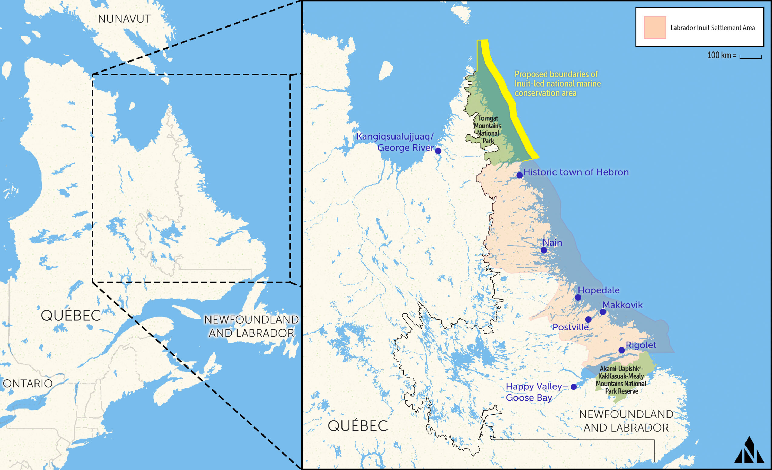
The Torngat Mountains — Torngait in the Inuttitut dialect — span the northern tip of Labrador and eastern Quebec. On the Labrador side, they’re within the Inuit region of Nunatsiavut that stretches to the Quebec border and south to central Labrador. On the Quebec side they’re within Nunavik. Inuit from both regions have used this area for thousands of years.
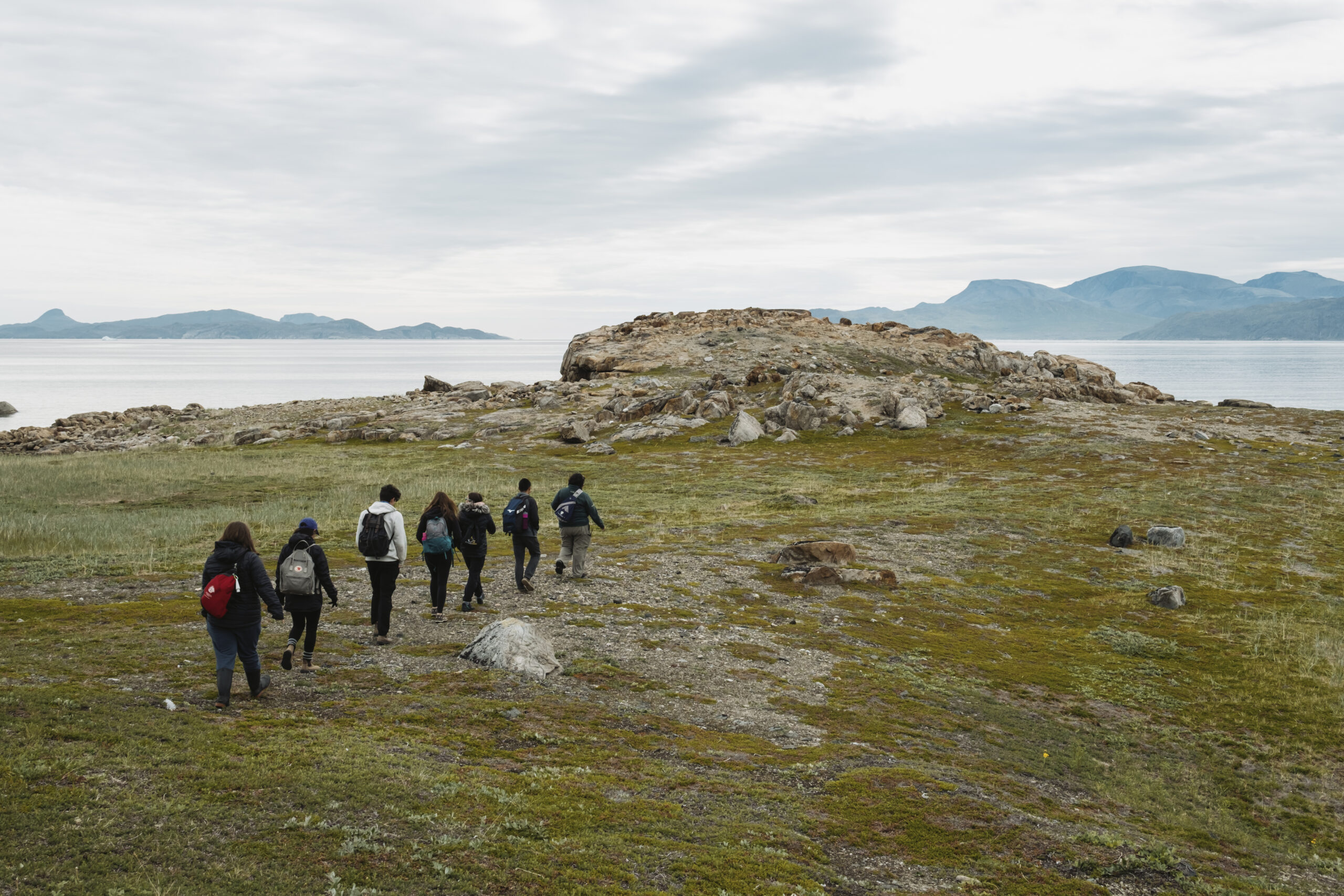
There are no settlements within the park borders anymore but many people trace their roots back to these lands and waters, and some grew up in camps and communities in and around the Torngats.
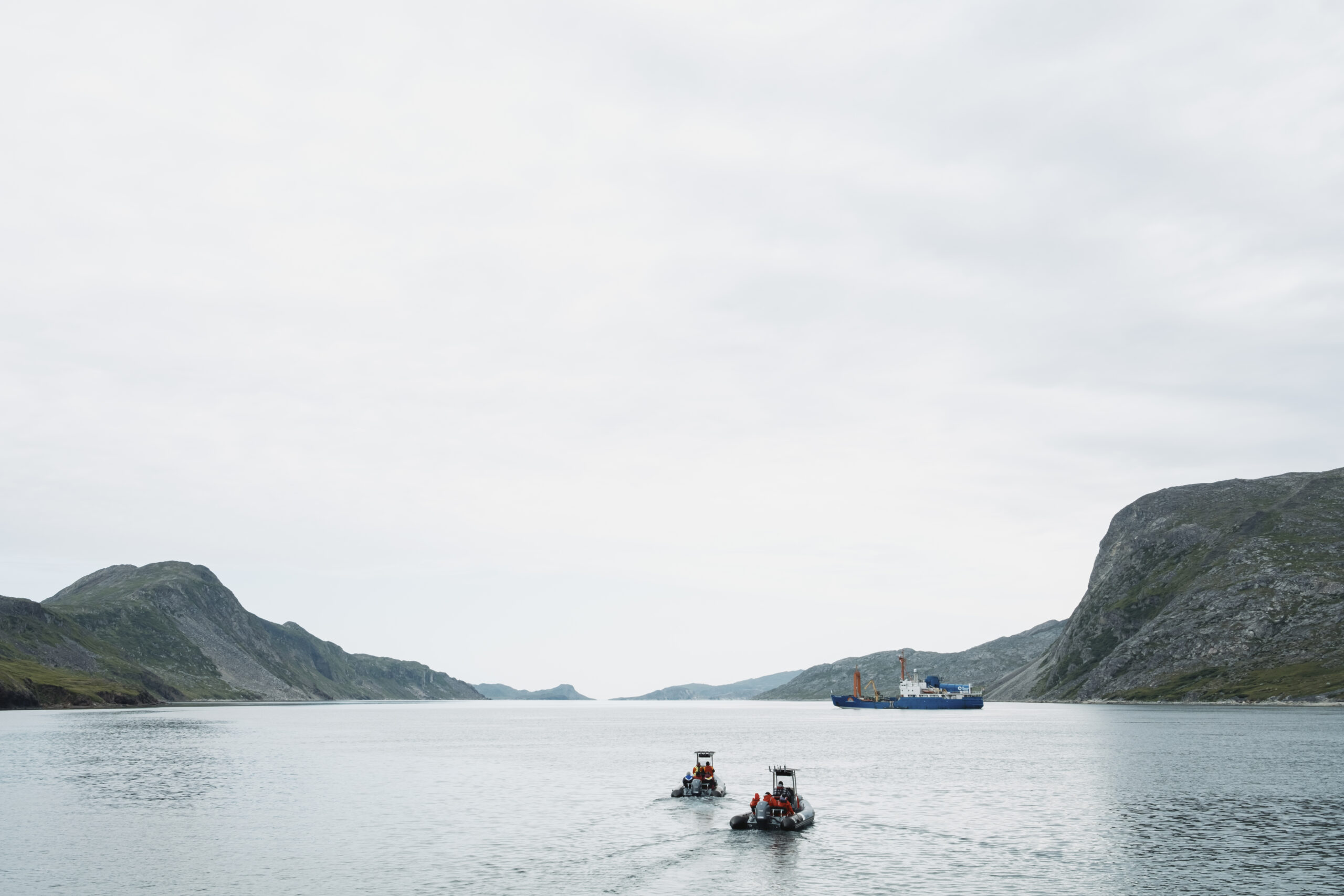
The Narwhal visited the area last summer to meet the people who call this place home, and those who have been advocating its protection.
On March 15, a joint announcement from the Nunatsiavut Government and Parks Canada confirmed the viability of protecting 16,791 square kilometres of the Labrador Sea at the shore of the Torngat Mountains.
Here’s how the Inuit-led protected area has taken shape, and why this recent announcement is significant.
Who is involved in establishing an Inuit protected area in the Torngats?
The Nunatsiavut Government has led the charge to create a marine conservation area, working in conjunction with Parks Canada — which falls under Environment and Climate Change Canada. Currently, in order for Indigenous-led marine conservation projects to be federally recognized, a federal agency has to be a partner, be that Parks Canada or Fisheries and Oceans Canada.
“We do keep referring to it as an Inuit-protected area,” Isabella Pain, the deputy minister of the Nunatsiavut Secretariat with the Nunatsiavut Government, previously told The Narwhal. “We were the ones who developed this plan. As Inuit, we went to the government to say we want to have a protected area.”
Other stakeholders in this agreement include Fisheries and Oceans Canada, Makivvik Corporation, which represents Nunavik Inuit, the Government of Newfoundland and Labrador and various industry groups and other organizations.
Through the feasibility study, which launched in 2019, more information was gleaned about the unique cultural and ecological importance of the region, Rodd Laing, director of environment for the Nunatsiavut Government, said. The proposed boundaries were adjusted as a result. A portion of the border was also carved out due to concerns around impacts on commercial fisheries. (While fishing is generally allowed in national marine conservation areas, bottom trawling — used for scallop and shrimp — is not.)

Why do Inuit want to protect the waters of the Torngat Mountains?
In 2005, the Nunatsiavut Government established the Torngat Mountains National Park Reserve in their land claims agreement, and called it “the Inuit gift to the people of Canada.” But the protected area ends at the low-water mark.
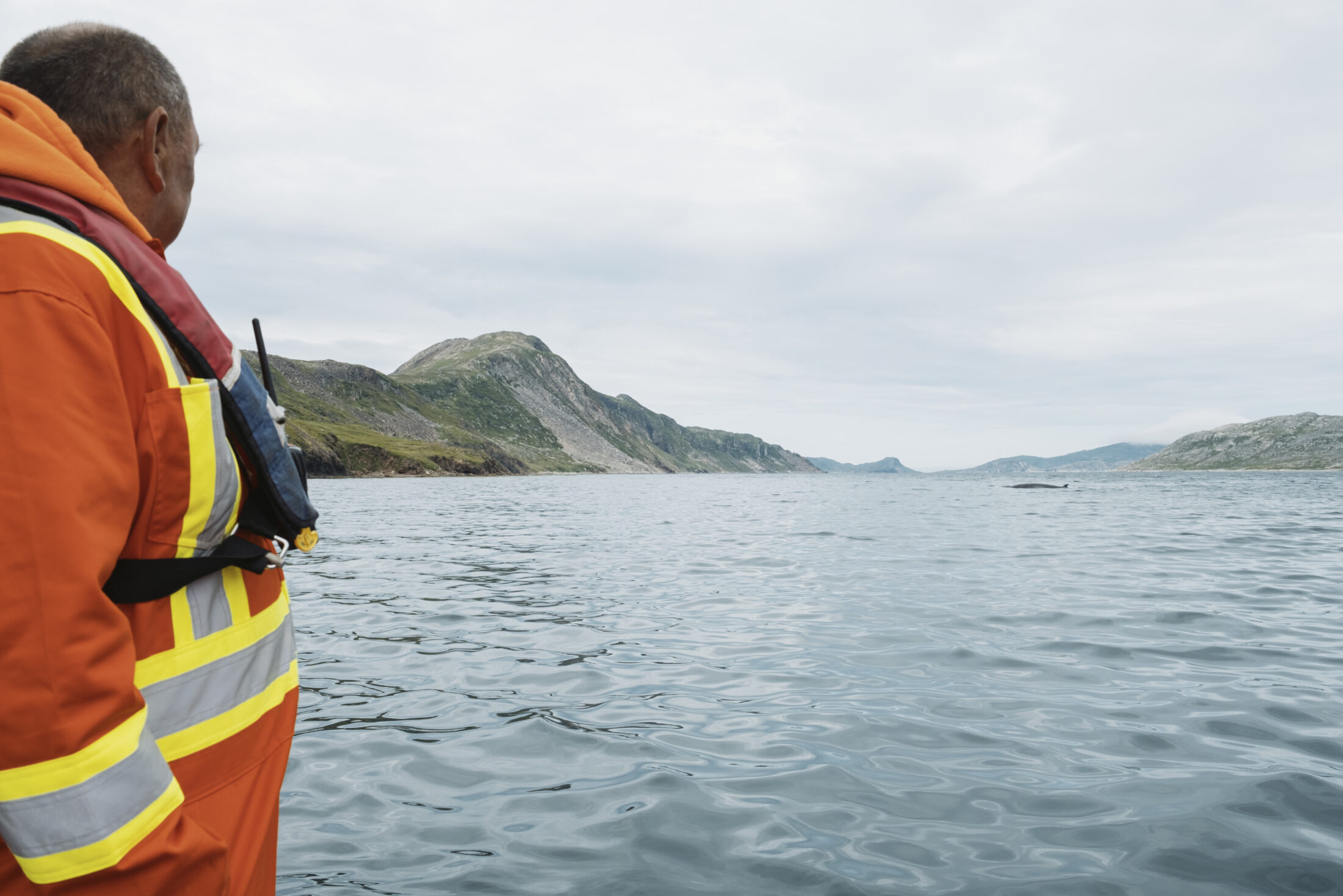
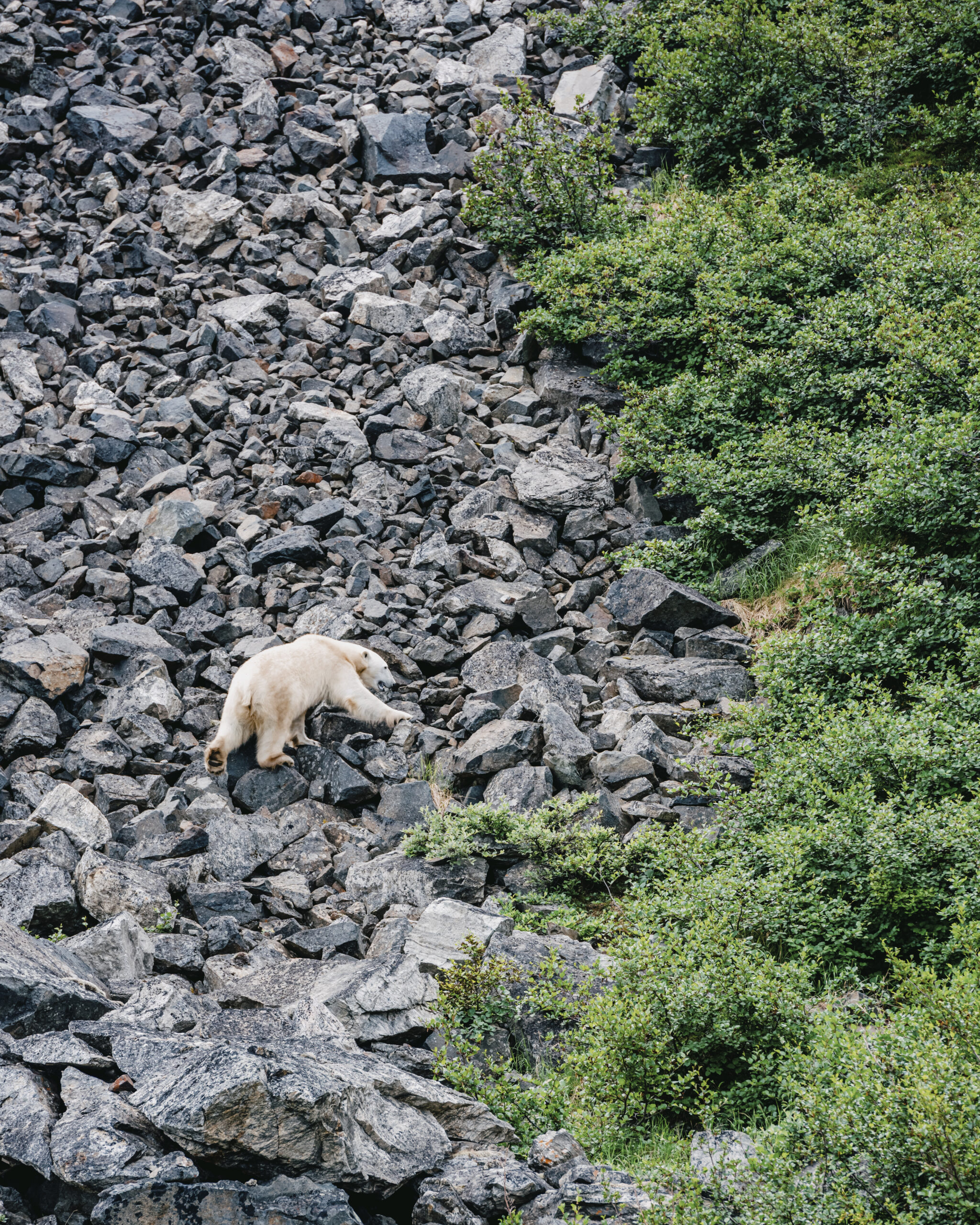
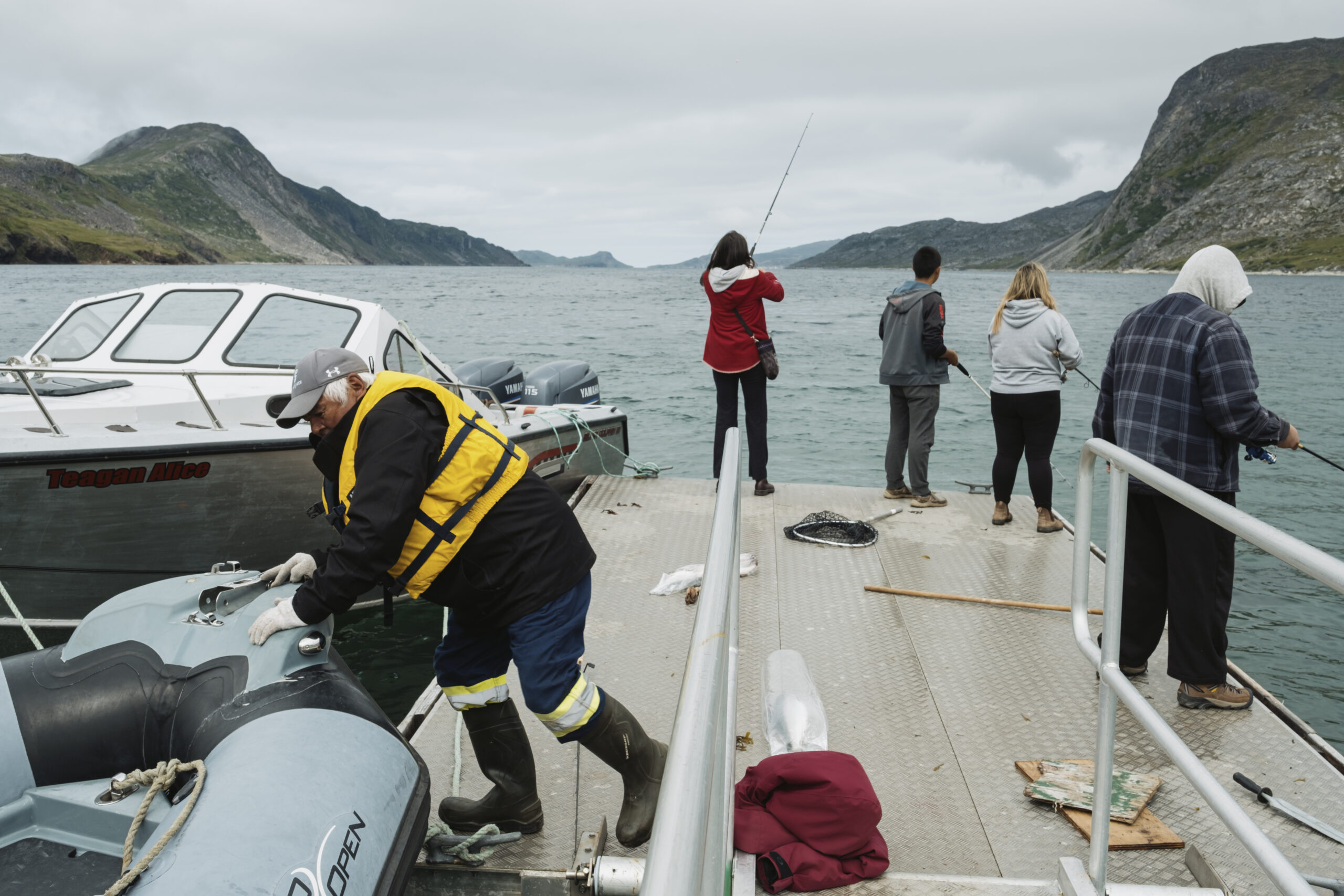
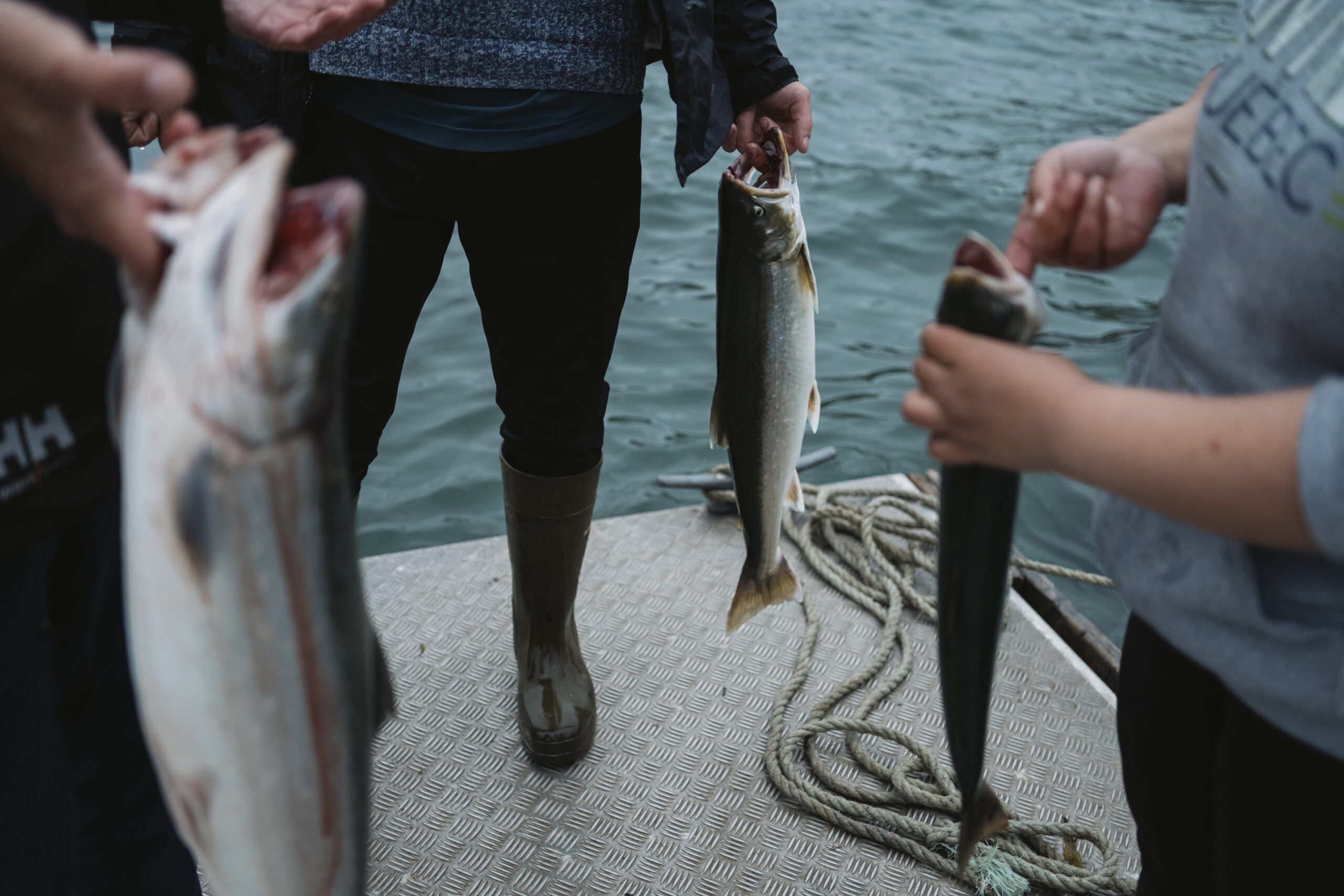
Home to polar bears, ringed seal, beluga and minke whales, narwhal, fish and many, many seabirds, these waters support both wildlife and the people who rely on them. That’s why the Nunatsiavut Government has been advocating to expand protections beyond the shore.
The area is also a shipping corridor, a gateway to the increasingly ice-free Northwest Passage. Despite that, Pain said, there’s no spill response equipment in the region.
Protecting these waters means bringing resources and people here to watch over the environment, to better understand it and how it’s changing, and to respond to what they see. Pain told The Narwhal once the protected area is established, “we want Inuit to be on the land, on the ocean to monitor, to be Guardians.”
Establishing this marine conservation area would also contribute 0.29 per cent to the federal government’s stated goal of protecting 30 per cent of land and water in Canada by 2030. As of January 2023, just under 15 per cent was protected.
What has happened so far?
Since 2016, the Nunatsiavut Government has been working on a marine plan called Imappivut, to determine the use of the waters surrounding Nunatsiavut’s shore. The Torngats marine conservation area falls under this larger project, which expresses the Labrador Inuit jurisdiction over the marine environment.
In 2022, the Nunatsiavut and federal governments signed a memorandum of understanding to consider the feasibility of establishing the marine protected area.
A 15-chapter research document that gathers all western and Inuit Knowledge on the Torngats marine environment was produced as part of this, and the team working on the project travelled up and down the coast, visiting the five communities of Nunatsiavut to gather information and opinions.
“It’s been a true co-developed process,” Laing said, with a great deal of input given by Labrador Inuit, external stakeholders, researchers and beyond. “That’s a really important piece.”
That culminated in last week’s announcement, when Nunatsiavut President Johannes Lampe and federal Environment Minister Steven Guilbeault declared the protections are feasible, and furthermore, people want to see it happen.
What happens next?
Negotiations can now move ahead to determine what a protected area here might look like: the boundaries, what activities are permitted within them and how the area will be managed and by whom. There are also impact benefit agreements to be sorted out and a formal establishment agreement.
“This announcement today is an important one, not only in the protection of our homeland, but for the preservation of our culture, traditions and Inuit identity,” President Lampe is quoted in the press release saying. “We have worked hard to reach this milestone and will continue to do so as we finalize the memorandum of understanding that will see the establishment of this Inuit protected area. We are glad to see this achievement become a reality today, and proud to take steps forward in ensuring our true Labrador Inuit way of life is maintained for future generations.”
The final step of the process is to secure these protections by designating the site under federal law, such as the Canada National Marine Conservation Area Act, explained Sigrid Kuehnemund, who manages establishment in the Atlantic with Parks Canada. While that designation is underway, work can begin on the ground to develop the site.
Parks Canada has committed to establishing 10 new national marine conservation areas by 2025 — the new Inuit protected area is one of them.