Drawing (on) a decade of climate change in the North
Artist Alison McCreesh’s latest book documents her travels around the Arctic during her 20s. In...
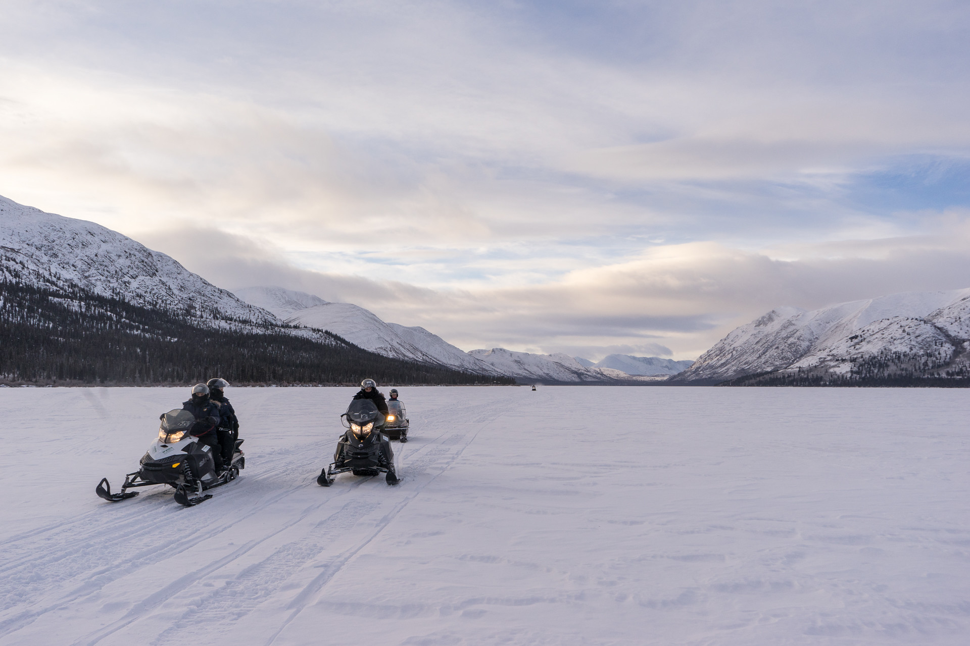
On a sunny winter day in the southern Yukon, Fish Lake is a magnet for recreationalists. Tiny fishing huts dot the ice. Snowmobiles roar in the distance. Fat bikers follow a packed path through the snow, while barking dogs race along the lakeshore. A line of cars and trucks winds down from the popular hiking trail up into the alpine.
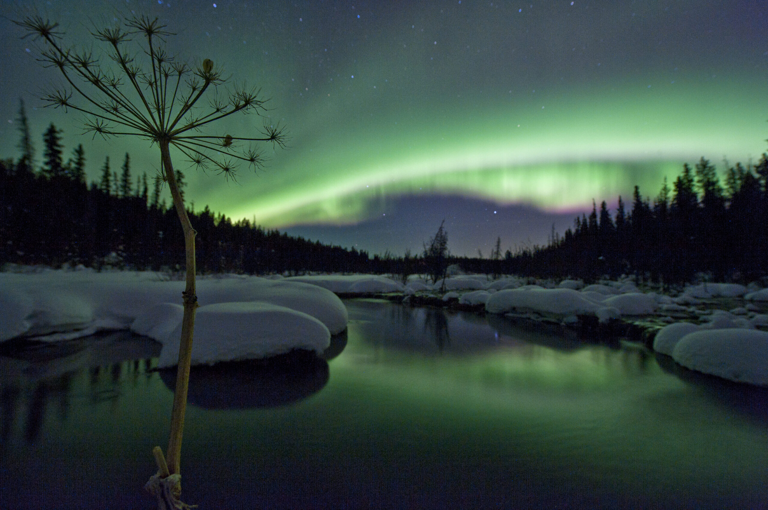
Nighttime brings bonfires, people hoping to see the Northern Lights and, occasionally, fireworks.
What’s left from all this activity is, often, piles of human and dog poop, plastic bags, beer cans, diapers, McDonald’s cups, used pads and tampons and nails from wooden pallets that partiers bring to burn, according to one tourism operator who works and lives in the area.
From Whitehorse, Fish Lake — Łu Zil Män in Southern Tutchone — is about a 20-minute drive along a paved road that turns to dirt once you leave city limits. A couple of signs en route advise motorists that the wilderness bordering the road belongs to the Kwanlin Dün First Nation. As you turn the last bend, the view opens up: the lake — blinding white in the winter and deep, dark blue in the summer — surrounded by mountains.
“We need to figure out a way to coexist.”
Kwanlin Dün Chief Doris Bill
For years, Kwanlin Dün citizens have been concerned about the increasing use of Fish Lake. Whitehorse’s population is growing — in 2020, it was up 23.5 per cent from 10 years ago — and the area is easily accessible, with a road that’s plowed through the winter.
That’s why the First Nation and the Yukon government have begun working on a land-use plan that will guide the future of Fish Lake, in part by designating different uses for the area, such as residential, commercial, traditional or environmental protection.
“We know that if we don’t act now, the problems out there will only get worse,” says Kwanlin Dün Chief Doris Bill. “So we need to figure out a way to coexist.”
Fish Lake is a critically important area to Kwanlin Dün. It was part of the First Nation’s seasonal travels to food sources in what is today the Whitehorse area. Families had camps there; many would arrive in the summer and stay through the winter. Trout spawned in September, followed by whitefish — Łu Zil Män means “whitefish lake”— in October and November.
After the fish runs, hunters headed into the mountains around the lake for sheep, moose and caribou. In the spring, people trapped beaver and muskrat, and grayling spawned in Bonneville Lakes, in the alpine alongside Fish Lake.
An archaeology project at the lake in 1993 uncovered stone knives, spear points and scrapers, as well as thousands of chips and flakes — the byproduct of making stone tools. According to Uncovering the Past, a book published by Kwanlin Dün in 1994, these findings showed that people have been using the site for more than 5,000 years.

An old Tagish story describes two giant fish — a male and a female — that live in Fish Lake and keep it stocked. On warm summer days, the story goes, you can still sometimes spot the two huge creatures moving through the water. In Tlingit, it was called Dis Hini, or Moon Lake, because some believed the lake was run by the moon and would set their nets according to its phases.
“The Fish Lake area is very special to our people,” Bill says. “I have family that lives in the area. We use the area to carry out traditional activities, such as hunting, fishing, berry-picking, medicine-picking. It’s an area that is well-used by our citizens.”
The area’s importance is reflected in Kwanlin Dün’s final agreement, a modern treaty the First Nation signed with the federal and territorial governments in 2005. The document designates Kwanlin Dün’s settlement lands — land it owns and manages. About 80 square kilometres in the Fish Lake area fall into this category.
The First Nation’s self-government agreement, also signed in 2005, outlines the development of local area plans — the process now underway at Fish Lake.
Local area plans are written by the Yukon and First Nations governments for unincorporated communities all over the territory, with the goal of identifying residents’ vision, minimizing land-use conflict and providing a framework for future development.
In January, the planning process began for Fish Lake. Over the next two years, a steering committee made up of three government and three Kwanlin Dün appointees will produce the plan. Both parties have signed a memorandum of understanding, which, among other things, commits them to incorporating both Indigenous and Western knowledge.
Once the plan is written, the committee will present it to the two governments for approval. (Ta’an Kwäch’än Council, another First Nation, will be involved too, since some of its traditional territory is within the 460-square-kilometre planning area.)
Fish Lake is unique from other places in the Yukon that already have local area plans. For one, there aren’t many residential lots — it’s a largely undeveloped area.
This is also the first local area plan to be produced under Kwanlin Dün’s new Lands Act, Nan kay sháwthän Däk’anúta ch’e (“We look after our land” in Southern Tutchone). With this legislation, the First Nation is able to create and enforce laws on its settlement lands. The act also formalizes specific regulatory tools so the First Nation can allocate land to citizens and beneficiaries, and lease it to the general public.

“Our people are now going to be getting out onto the land,” Bill says. “They’re going to be building houses, they’re going to be building hunting camps, they’re going to be building cabins.”
The plan has been years in the works. In 2008, after the Yukon government saw an increase in applications for rural residential lots in the Fish Lake area, a study recommended that a plan be in place before any more lots were added.
The First Nation also commissioned a study last year to learn more about commercial use of Fish Lake.
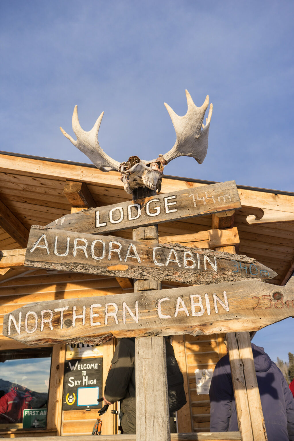
Sky High Wilderness Ranch, which operates dog-sled tours in the winter and horseback rides in the summer, is the largest business based in the area, just a short walk north of the lake. But many other commercial tour operators, from aurora viewing to snowmobiles to dog sleds, also use the area.

“We have evidence to suggest that over the last 20 years, commercial users in the area have increased from 500 people a year to 5,000 people a year,” says Roy Neilson, Kwanlin Dün’s acting manager of planning. “And that doesn’t even account for the private recreational use of the area … Some anecdotal evidence suggests that in the summer, hiking in the area over the last 10 years has at least doubled.”
Jocelyne LeBlanc, a co-owner of Sky High, has seen the byproducts of this. When she moved to the ranch 10 years ago, she’d walk down to the lake on Monday mornings and pick up trash from weekend visitors. Now, she says, that’s a daily job.
“It’s pretty disappointing,” she says. “Fish Lake is a beautiful area … it’s more than a party zone.”
Several cabins owned by Kwanlin Dün citizens, some of them dating back many years, sit along the lake. Bill says these structures have also been damaged or disturbed by visitors.
The First Nation has taken measures to educate the public about its traditional use of the land. Since 2018, Kwanlin Dün has asked hikers and berry-pickers to stay off the popular trail between 5 p.m. and 10 a.m., when its citizens hunt in the area. That year, the First Nation’s lands operations manager told the Yukon News that some hikers had called conservation officers to report gunshots, seemingly unaware that citizens are allowed to hunt there.
Now, a sign at the trailhead informs visitors that they’re on settlement land and people hunt in the area in the fall.
Another concern is that growing traffic in the alpine around Bonneville Lakes might affect the caribou herd that winters there. A second sign at the trailhead offers information about snowmobiling in caribou habitat.
Kwanlin Dün also has land stewards that patrol its traditional territory, picking up garbage, conducting wildlife surveys and educating people in the backcountry.
“I don’t think that we’re going to prevent anybody from using the area,” says Bill. “If they do, we’re just asking them that they follow the rules and to help us keep it in a good condition for future generations … We’ve used it for millennia and I’m hoping that we can continue to use the land far into the future.”
According to a backgrounder written by both governments, the plan will help by addressing how to promote First Nations culture and history, how to manage tourism and recreation and what kinds of commercial use are appropriate.
Both Bill and Neilson emphasize that the process is collaborative.
“It’s not a zero-sum negotiation,” Neilson says. “Sometimes people can get concerned that their rights are being restricted or will be limited, which is not the intention.”
While the First Nation has the authority to impose laws — for instance, banning hikers during autumn evenings rather than asking politely — Bill says that’s not being considered at this point.
“I’m hoping that heightened awareness will result in people taking better care of the land and appreciating what we have,” she says.
And as more Kwanlin Dün citizens receive land allocations and begin building cabins or camps in the area, Bill says she hopes awareness and respect extend to their increased presence too.
“They have every right to be there … We want to assure people that we want to take care of the land, we respect it and we want to be good neighbours.”
Get the inside scoop on The Narwhal’s environment and climate reporting by signing up for our free newsletter. On March 17, federal Conservative Leader Pierre Poilievre...
Continue reading
Artist Alison McCreesh’s latest book documents her travels around the Arctic during her 20s. In...

I’ve watched The Narwhal doggedly report on all the issues that feel even more acutely...

Establishing the Robinson Treaties, covering land around Lake Huron and Lake Superior, created a mess...
