


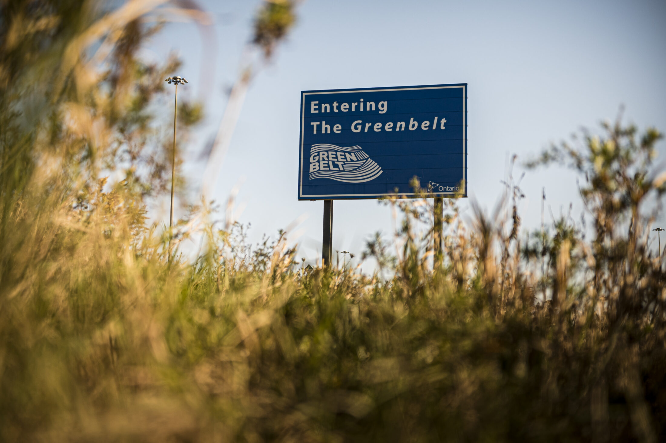
When the Doug Ford government first announced plans to expand Ontario’s Greenbelt, it called the move a “once in a generation opportunity.”
The initial concept, presented by Municipal Affairs Minister Steve Clark in February 2021, involved ambitious plans to include waterways under the Greenbelt’s protection and stretch its boundaries to encompass a large swath of land west of Toronto. That June, it took those promises one step further, promising to add two acres of land to the Greenbelt for every acre developed using a controversial provincial land zoning order known as Minister’s Zoning Orders, or MZOs. Clark has handed down about 80 of the orders, far more than have been issued by any previous government.
But just over a year later, on March 24, 2022, the government released a second draft of the plan that drops the most ambitious of those changes and doesn’t appear to deliver on the land swap promise.
What’s left is a proposal to expand the Greenbelt to include a series of urban river valleys in the Greater Toronto Area — all of which are on public land already. And in the announcement, the government acknowledged that it faced pushback from certain industries, including developers and the aggregate sector.
Opposition critics denounced the revised plan when it was released last week. Environmentalists did too — six non-profits working together on the Ontario Greenbelt Alliance‘s steering committee called it a “Greenbelt greenwash just before an election” and pointed out that the province is still seeking to build two highways through the protected area.
In a statement, Ministry of Municipal Affairs spokesperson Nazaneen Baqizada said the government is taking a “balanced approach.”
“Adding public lands to the Greenbelt provides permanent protection to support Ontario’s overall environmental health and the well-being of communities so they can continue to be enjoyed by future generations,” Baqizada said.
The latest draft of the Greenbelt expansion is posted online for public feedback until April 23. The government hasn’t said when it plans to finalize the changes, or whether that will happen before the provincial election that must happen on or before June 2. Here’s a breakdown of what the plan includes, and what it leaves out.
In the Greenbelt: more urban river valleys
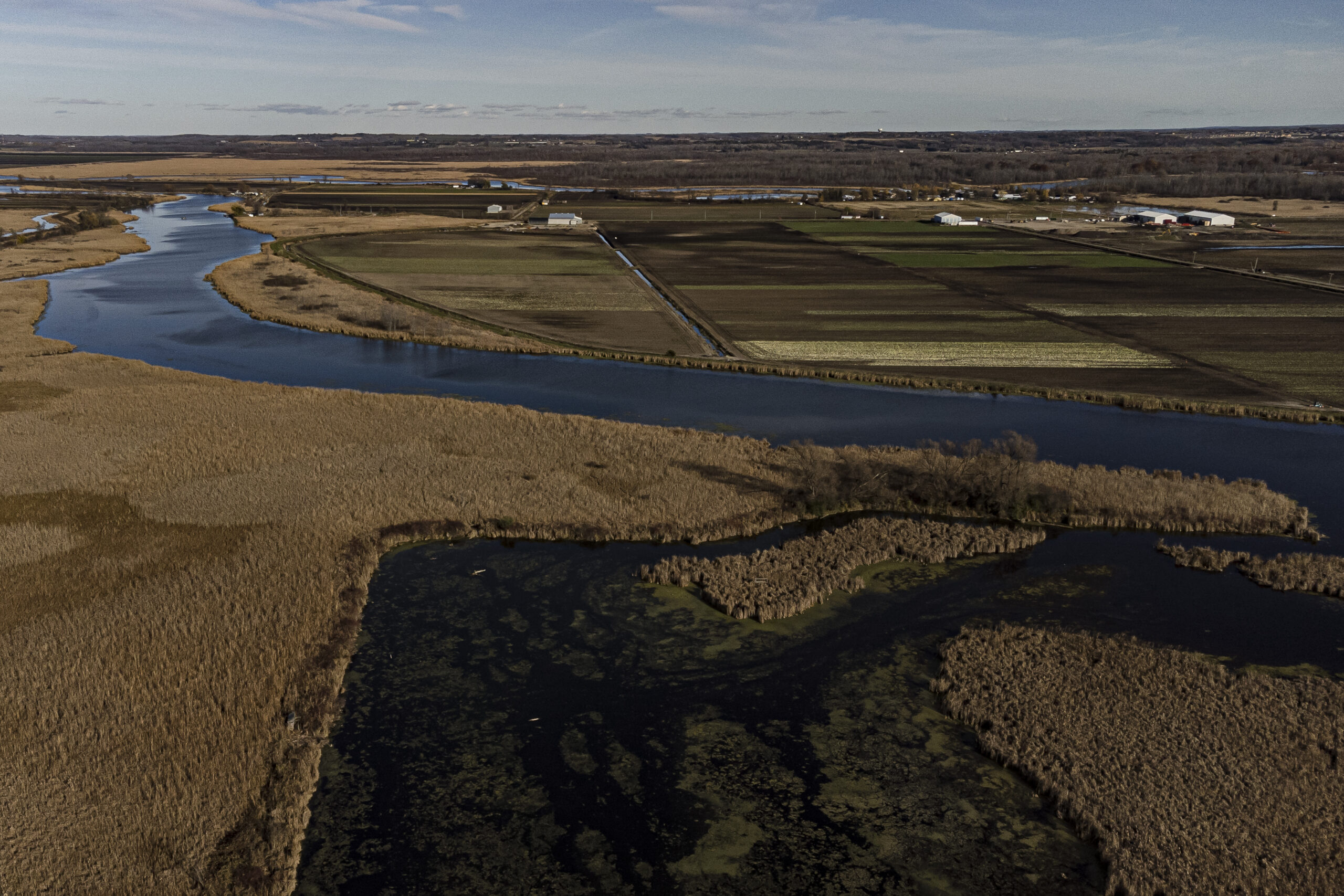
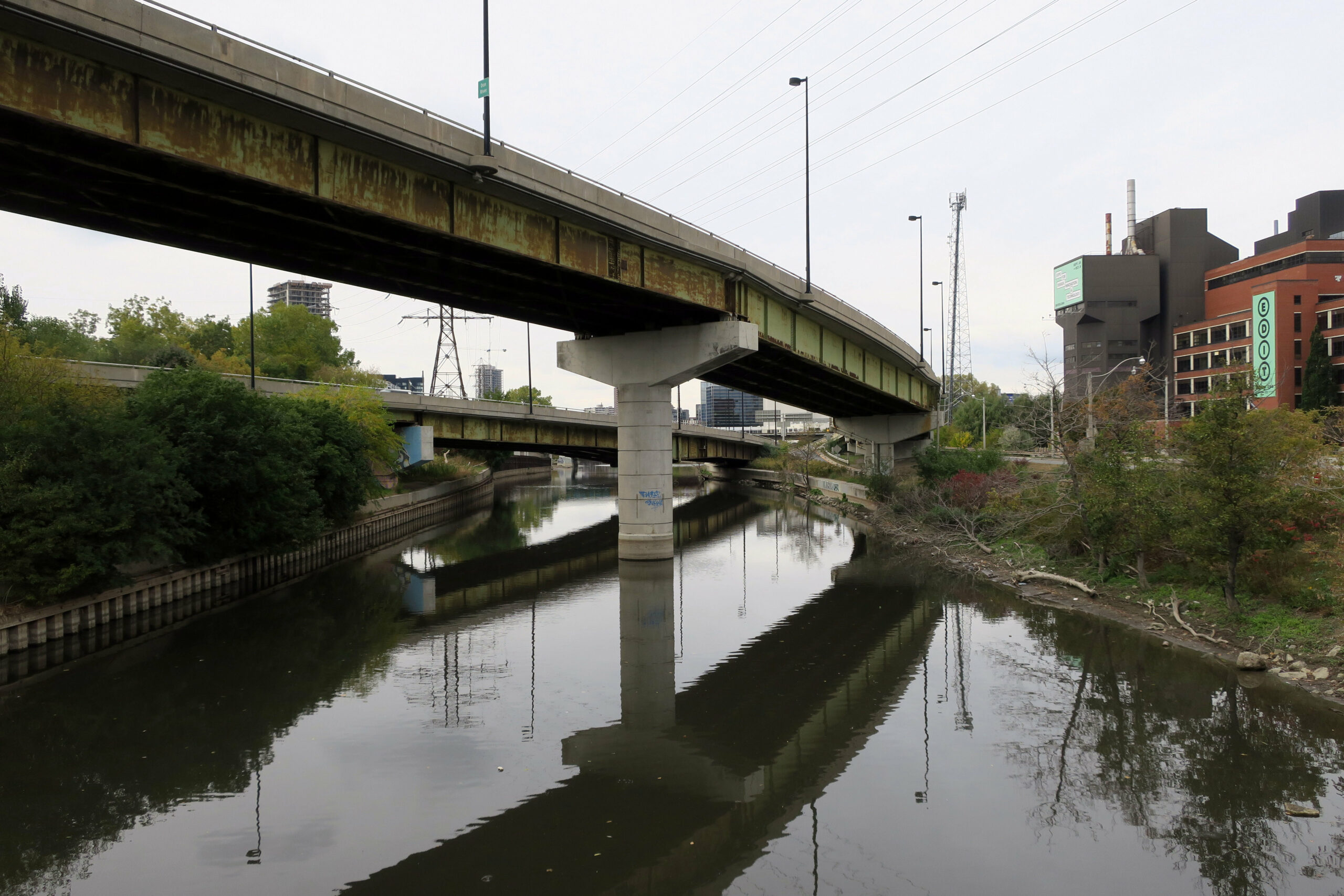
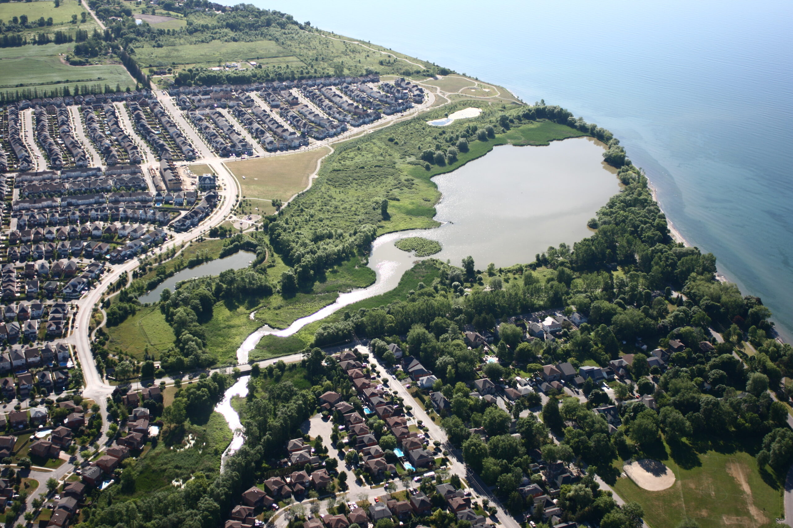
The Greenbelt already includes some urban river valleys — the previous Liberal government added 21 waterways and seven coastal wetlands to the protected area in 2017. The valleys are meant to connect the main sections of the Greenbelt, which mostly ring around the Greater Toronto Area, with Lake Ontario.
The Ford government’s initial plans included adding more urban river valleys to the Greenbelt. Though the province didn’t give a full list of which waterways it was considering, it did mention Twelve Mile Creek on the Niagara Peninsula. It also mentioned the possibility of adding “land around Duffins Creek in Ajax and Pickering.” Neither waterway appears in the government’s latest draft.
Of the 13 waterways that are mentioned, two are urban river valleys, Stoney Creek and Battlefield Creek in Hamilton, which would be new additions to the official Greenbelt. The remaining 11 are expansions of existing urban river valley areas already in the Greenbelt. All are on public land, and already enjoy some level of protection.
The province did not answer when asked how many acres the additions amount to, so it’s not clear whether they compensate for Clark’s special land zoning orders. But on a government map, the new urban river valley areas are relatively tiny compared to the overall area of the Greenbelt and even the existing urban river valleys.
In a posting to Ontario’s environmental registry, where the province is required to share changes to policies affecting the environment, the government said the development industry was “generally supportive” of urban river valley additions “as they apply to publicly owned land only.” Conservation authorities and municipalities also supported the move, the posting said.
Baqizada said the government is still exploring other opportunities to grow the Greenbelt. “The Greenbelt Plan recognizes existing urban river valleys as a foundation upon which additional public lands can be added,” he said.
Not in the Greenbelt: Duffins Creek
Like its neighbour, Carruthers Creek, much of Duffins Creek is already a protected urban river valley in Durham Region, east of Toronto.
But not all of it — and in 2020, Clark signed a special land zoning order to allow a developer to pave over a protected wetland connected to the creek. The incident sparked massive public blowback, which in the end led to Clark undoing the part of the directive that applied to the wetland in early 2021.
Clark had initially said the government wanted to include more land around Duffins Creek in the Greenbelt. But the waterway didn’t make the current list.
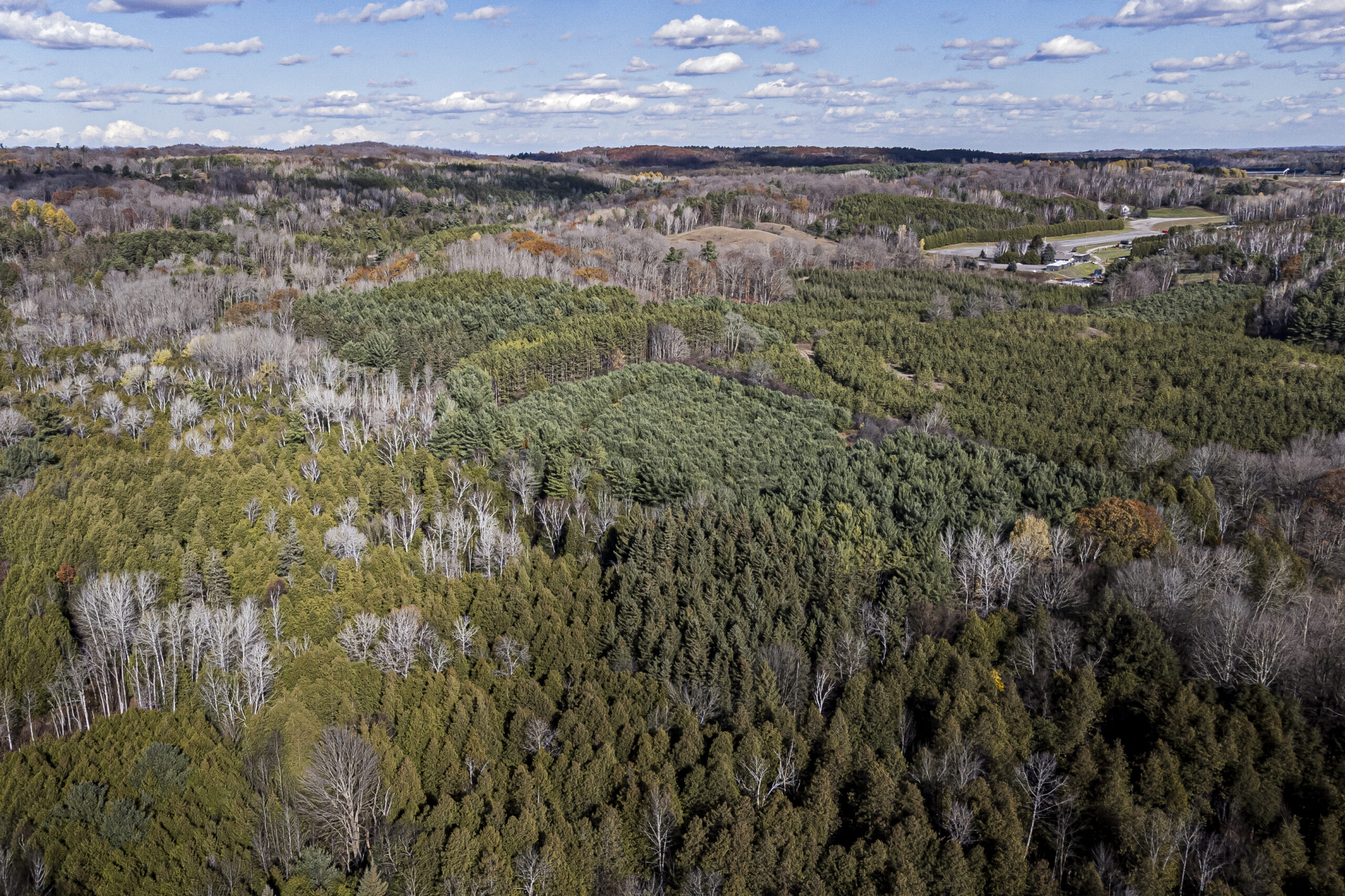
Not in the Greenbelt: the Paris-Galt Moraine
The Paris-Galt Moraine is a rock formation stretching across the western Greater Toronto Area. Its two parallel ridges extend from the Toronto suburb of Caledon southwest through Guelph towards Lake Erie, encompassing the headwaters to several rivers.
Originally, Clark said the province was looking at the possibility of adding the moraine, a key drinking water source, to the Greenbelt, something that Ontario Green Party Leader Mike Schreiner has proposed for years.
But the Progressive Conservatives have now backed off on that plan.
“Impacted municipalities and landowners, as well as the development sector raised concerns about the impact that a Greenbelt expansion in the Paris Galt Moraine area would have on growth management, including the potential impact on municipalities’ ability to accommodate population growth,” the province said on the environmental registry.
Baqizada did not answer when asked how that feedback impacted Clark’s decision to exclude the moraine from the current draft of the Greenbelt expansion plan. But on the environmental registry, the government said it’s still open to the idea, though “more time is needed” to understand how adding the moraine “may impact the priority to create housing and jobs.” The posting noted that municipalities are currently in the midst of a provincially ordered process for planning how they’ll use their land for the next 30 years, and that many asked to delay the Greenbelt expansion process until after that’s finished.
Schreiner called the change “deeply disappointing.”
“Ford has put insider interests ahead of what the people want and need,” he said in a statement.
Not in the Greenbelt: the headwaters of Carruthers Creek
Much of Carruthers Creek, trickling through the suburbs of Ajax and Pickering east of Toronto, is already part of the Greenbelt. The tiny but consequential waterway was added to the protected zone in 2017. But that move left out the headwaters of Carruthers Creek, leaving them vulnerable to development even though experts warn that building there could increase flood risk downstream.
Local advocates — and the Progressive Conservative MPP for Ajax, Rod Phillips — have long called for the creek’s headwaters to be added to the Greenbelt. But the waterway didn’t make Clark’s initial list, and isn’t in the second draft either.
“Ontarians need their homes and communities to be safe from flooding and other environmental issues,” Ontario NDP environment critic Sandy Shaw said in a statement. “Ford doesn’t care.”
Not in the Greenbelt: East Humber headwaters
The government’s 2020 budget said the Progressive Conservatives were looking at expanding the Greenbelt to include a portion of the headwaters of the East Humber River in King Township, Ont. However, that plan wasn’t included in the province’s initial plans for Greenbelt expansion in 2021.
At the time, the province said a proposal for that area was separate and still in progress. Baqizada didn’t respond when asked about its status.
Updated March 31, 2022, at 10:10 a.m. ET: This article was updated to clarify that the steering committee of the Ontario Greenbelt Alliance condemned the Greenbelt expansion.