


Flood risk maps are an essential public good. Indeed, many countries like the United Kingdom already offer flood risk mapping.
Canada committed to a public flood risk mapping portal in the 2023 budget. However, despite the increasing frequency and impact of large, catastrophic floods, we still have a sparse patchwork of flood risk maps at municipal and provincial scale.
What flood mapping that does exist is hard to find, of uncertain quality and currency, and often difficult for non-experts to understand and apply.
The unacknowledged reason why there is a lack of flood risk mapping in Canada is because such maps generally face public resistance. Indeed, it is not uncommon in Canada to see flood or wetland mapping withdrawn or modified because of public pressure.
I led two survey-based studies recently with former graduate student Samantha Howard and post-doctoral fellow Brooke McWherter to understand how people in flood-prone areas of Nova Scotia perceive publicly available flood maps. We found wide agreement about the benefits of such maps — until we asked about the impact on real estate value.
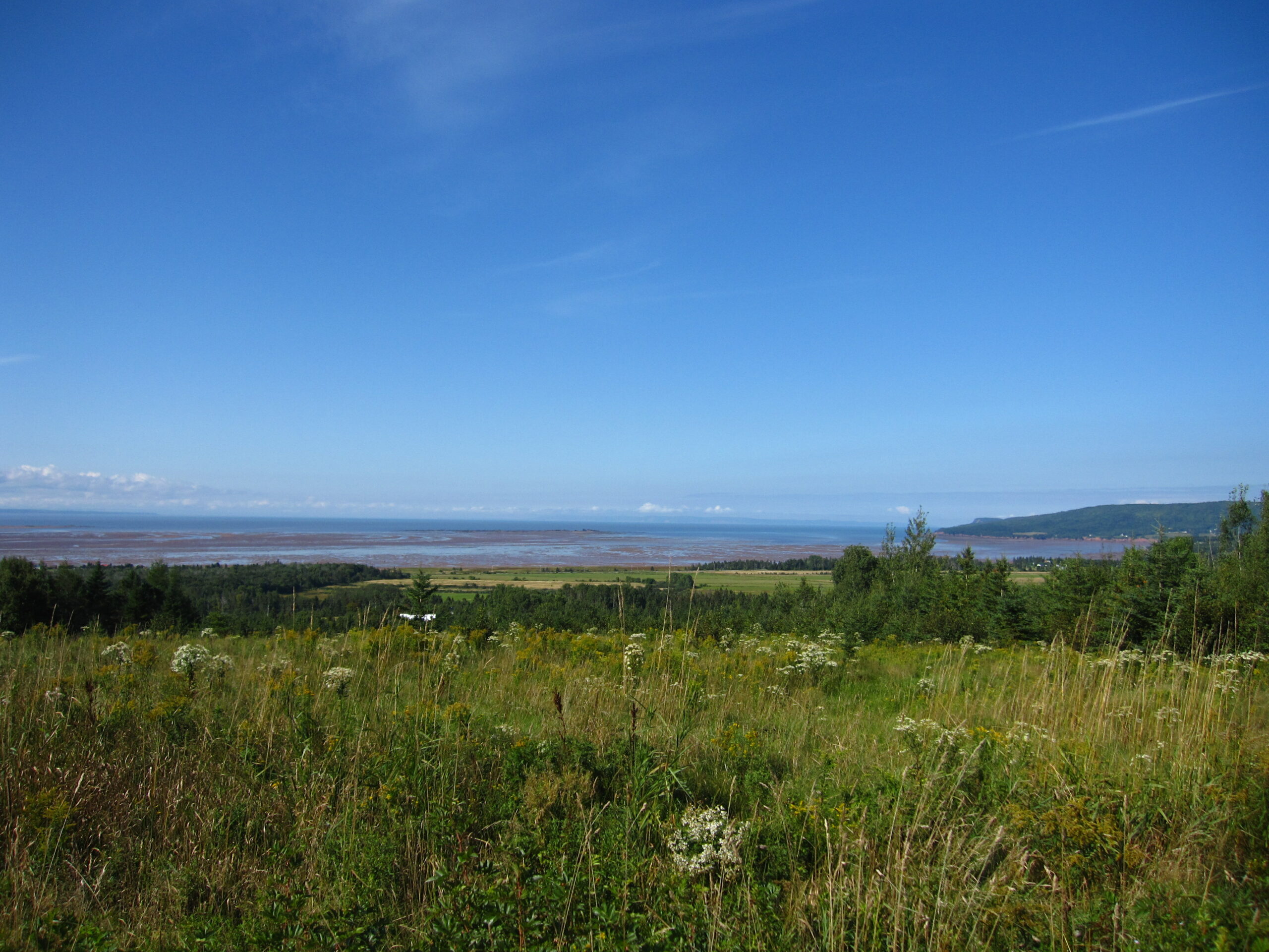
Flood risk mapping could be a critical tool in Nova Scotia
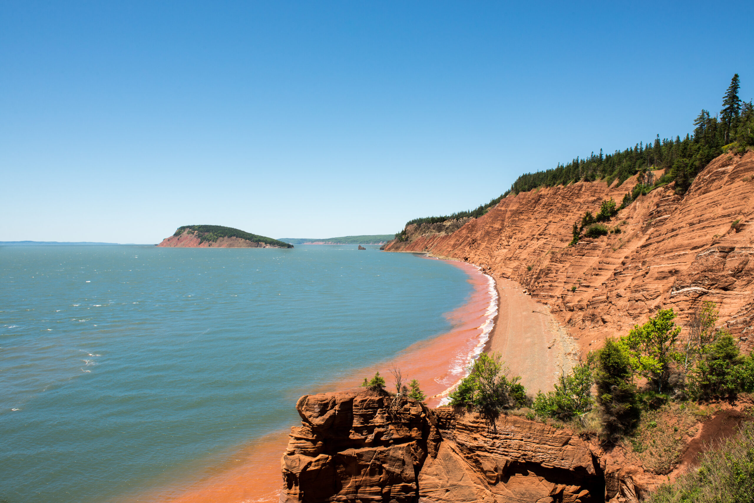
Nova Scotia faces some of the highest sea level rise in Canada under current climate change projections. Yet last week, the Nova Scotia government decided not to proceed with the long-awaited Coastal Protection Act, which had been passed with all-party assent in 2019.
Among other things, the act would have regulated how close people could build to the ocean based on assessments of sea level, storm projections and information about the elevation and erosion risk of each section of coast. This would have protected people and infrastructure, as well as sensitive coastal ecosystems, and left space for ocean dynamics.
In lieu of the act, the Nova Scotia government released a new website featuring resources to help individual coastal property owners make decisions about their bit of coastline, leaving dozens of rural coastal municipalities in the lurch. One of those resources was a new coastal hazard map.
The lengthy disclaimer you need to agree to before you can access the map immediately erodes its trustworthiness. Moreover, while people may trust any good news they see in its data, they may still be at risk due to the tool’s many data and design flaws. To supplement this tool, Nova Scotia has committed to finishing detailed flood line mapping by 2027.
It is too soon to know how people are responding to this tool, but we know it does not take a lot of unhappy constituents to make a government nervous, especially if those constituents hold financial or political power. The public engagement associated with the Coastal Protection Act was, after all, overwhelmingly in support of proclaiming and regulating under the act. Yet here we are.
Hesitation around public tools for measuring flood risk related to property value
The first survey we ran in 2021 — through an online link sent via Canada Post to all residents in two towns in Southwestern Nova Scotia — showed one in six people felt flood risk mapping presented too big a risk for real estate value. Our second survey of about 1,100 house residents around the Minas Basin, Nova Scotia, in 2022 found that one in three residents expressed concern about real estate value. Both studies had a margin of error of plus or minus six per cent at a 95 per cent confidence level.
The first survey had a smaller response rate but represented the population demographics better. The second was biased toward older respondents and those with higher incomes.
Moving back to our original question — why doesn’t everyone see flood risk mapping as a public good?
We used slightly different questions in the two studies to understand the drivers of resistance to flood risk mapping based on perceived impact on real estate value. What emerged speaks to the challenge of inspiring long-term and collective thinking about climate change.
Firstly, being focused on oneself rather than others was a reliable predictor of resistance in both studies.
Resistance in the first study was associated with agreeing to the following statements: “I am not able to cope with the land changes required to deal with significant increases in flood risk at this point in my life,” and “flood management decisions I make do not have implications for others.” The latter is demonstrably untrue: shoreline armouring, for instance, can have negative effects for neighbours. In the second study, being focused on others and having descendants led to less resistance.
Self-orientation was a strong underlying driver of resistance. It reduced a person’s likelihood of focusing on others, the future or the biosphere. People already make decisions to suit their own situation, just as the Nova Scotia government is now encouraging coastal landowners to do. Yet in these kinds of scenarios, collective and ecological interests are forgotten.
Secondly, the more vulnerable a person felt to flood risk, the more likely they were to oppose maps that would allow others to see their flood risk. This variable was only a strong signal of resistance in the second study when we used a combination of flood likelihood and vulnerability to measure it. This might also explain why resistance was twice as high in the 2022 survey than the one in 2021. It could be a regional difference based on actual differences in risk, or differences in survey method and thus respondent population, but it could also reflect increasing flood frequency and severity.
The second survey was still in the field when Hurricane Fiona hit Atlantic Canada. This timing suggests that instead of becoming more open to climate adaptation information, like flood maps, as flooding events occur, we might become less open as we seek to protect the value of our biggest investments: our homes.
Moving beyond the fear of the unknown
A clue to the path ahead may be found in our first study, where those who had previously seen a flood map for their region were slightly less likely to be resistant to public flood risk maps. This might indicate that such resistance is mostly borne of fear of the unknown.
We urgently need high quality, public flood risk maps that the government stands by (including with planning regulations). Then we can focus on rethinking what it means to live a good coastal life in the face of climate change, and how we collectively support those who may face decreases in home or land value.