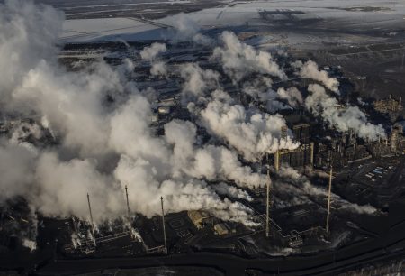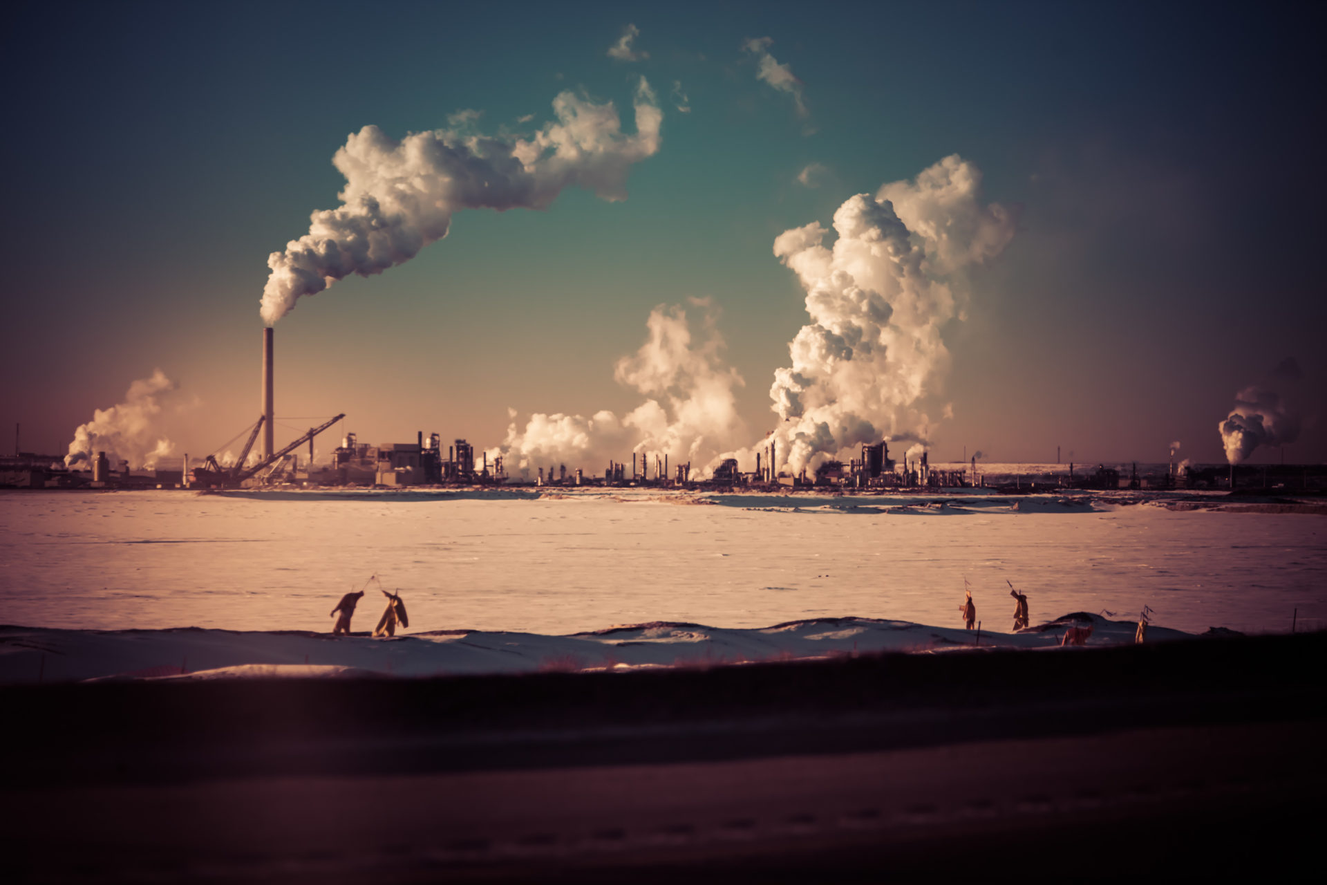
The Alberta oilsands are the world’s third-largest deposit of oil, containing an estimated 165 billion barrels of oil. The oilsands are comprised of high-carbon bitumen deposits. Bitumen requires extraction from underneath the boreal forest, either through mining or the drilling of steam injected wells, processing to rid the oil of sand and other contaminants and dilution with chemicals to flow through pipes.
Extraction of bitumen from the oilsands is a subject of ongoing controversy in Canada. The oilsands are one of the world’s most carbon-intensive forms of oil and have a very low return on invested energy. For many years, the oilsands have represented Canada’s fastest growing source of greenhouse gas emissions.
Producing oilsands also generates a tremendous amount of contaminated water waste, called “tailings.” The tailings ponds from the Alberta oilsands cover about 220 square kilometres and hold an estimated 1.2 trillion litres of contaminated water that’s been used in bitumen mining.
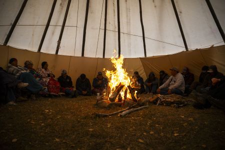
Oilsands deposits are also located on the traditional territory of numerous First Nations that are opposed to the pace and scale of development. The oilsands cover an area of approximately 142,200 square kilometres in the Athabasca, Cold Lake and Peace River areas in northern Alberta. About three per cent of the oilsands are accessible via mining. The majority must be developed via in-situ methods, which currently increases the product’s overall emissions profile.
Oilsands operations have contributed to a massive disturbance of Alberta’s boreal forest, through the construction of roads, refineries, processing plants, seismic lines and other oil and gas infrastructure. The result is a heavily polluted landscape, fears of water and wildlife contamination and increasing pressure on at risk species such as the boreal caribou.
For weekly updates on our reporting, sign up for The Narwhal’s newsletter.