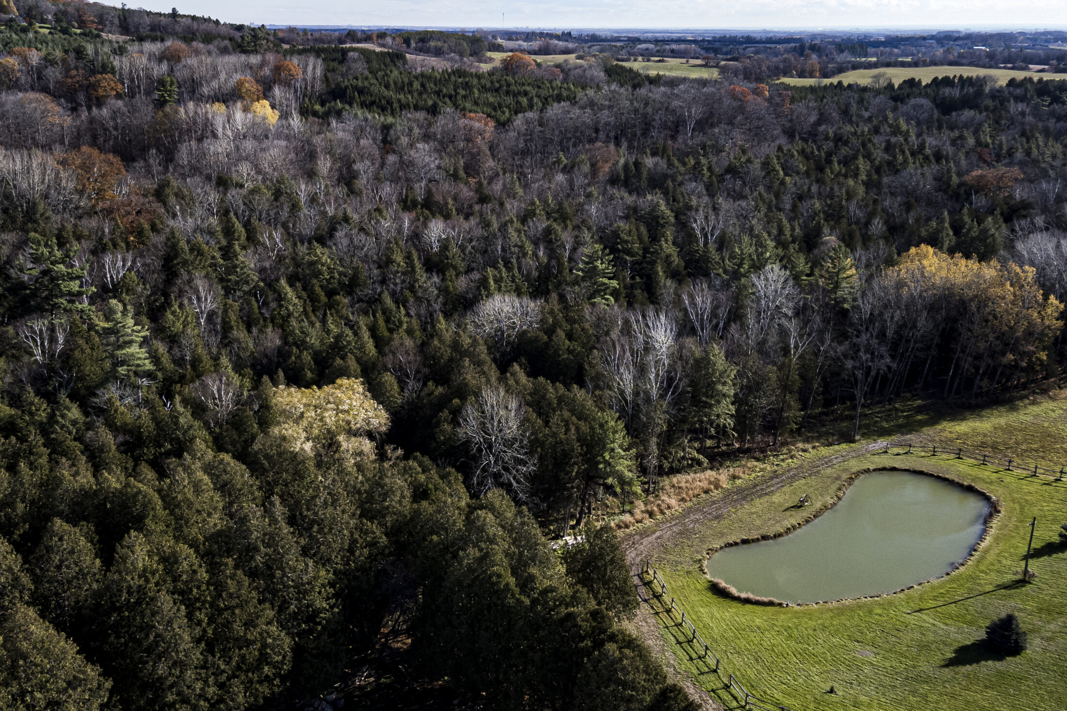
Few places in the Greater Toronto Area have inspired as many environmental clashes as Ontario’s Greenbelt.
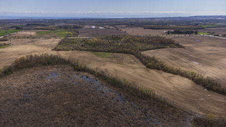
The provincial government protected the Greenbelt’s forests, farmland and waterways in 2005 over the protests of a small but vocal opposition, all in an attempt to guard it from the consequences of rapid development. Although it’s been hailed as a conservation success story in the years since, it’s also still under pressure from the same forces that led to its creation.
That tension has been simmering for years, but burst to the surface again with the election of Ontario Premier Doug Ford in 2018. That year, Ford proposed opening up the Ontario Greenbelt for development — an idea that sparked so much backlash, he immediately reversed course.
“They don’t want me to touch the Greenbelt, we won’t touch the Greenbelt,” he said.
But in November 2022, Ford broke that promise when his government unveiled a plan to remove land from the Greenbelt to build housing.
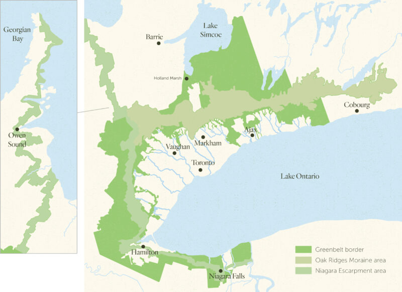
The Ontario Greenbelt rings around the Greater Toronto Area, stretching from northeast of Cobourg to Niagara with one branch north to the Bruce Peninsula. Map: Jeannie Phan / The Narwhal
Ford is also seeking to fast-track two highways — the Bradford Bypass and Highway 413 — through the protected area.
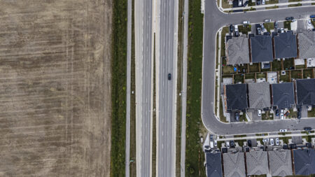
Municipalities and developers in the Greater Toronto Area are also pushing to open up the Greenbelt. In November 2021, York Regional Council, representing nine municipalities north of Toronto, voted to allow a developer’s request to open up pockets of the protected area for certain types of development. Though the change still needs approval from the provincial government, critics decried it as the “start of the infringement on the Greenbelt.”
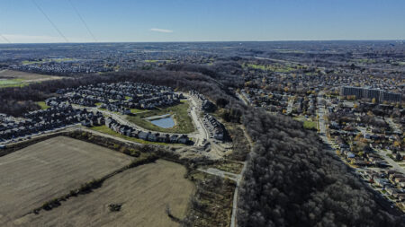
Even beyond current threats, some experts say the design of the Ontario Greenbelt was imperfect from the beginning. A patchwork of rules leave the Niagara Escarpment open to quarrying, for example. Some important places were also left out altogether: the headwaters of Carruthers Creek in Durham Region east of Toronto is one example of a delicate ecological feature left in an unofficial zone called the “whitebelt,” which lies between urban areas and the Greenbelt. Now, developers and some local politicians are pushing to develop the headwaters despite warnings from experts who say doing so could increase the risk of flooding downstream.
Environmentalists say they’re worried the Ontario Greenbelt is gradually being chipped away.
“We see this right now as we speak,” Burkhart Mausberg, the founding CEO of the Greenbelt Foundation, which stewards the protected area, and a longtime leader at various environmental non-profits, told The Narwhal.
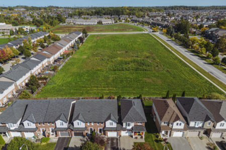
The Ford government has repeatedly pledged to protect the Ontario Greenbelt. It added 360 hectares of land that was already safe from development to the protected area in 2021. Its new plan, unveiled in November 2022 — and quietly finalized in December 2022, despite protests across the province — will remove about 7,400 acres of land from the Greenbelt to build at least 50,000 homes. The plan will add 9,400 acres of land to the Greenbelt in other areas.
In January 2023, Ontario’s auditor general and integrity commissioner each announced investigations into the decision to open up Greenbelt land for development.
On Aug. 9, auditor general Bonnie Lysyk’s report concluded that a high-ranking political staffer in Premier Doug Ford’s government “substantially controlled and directed” the process of choosing those long-protected parcels of land now open to development. That decision was also influenced by developers, the audit found.
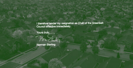
Eleven months after the Greenbelt land swap, caving under the pressure of a mounting political crisis, Ford reversed the decision on Sept. 21.
“I made a promise to you that I wouldn’t touch the Greenbelt. I broke that promise. And for that I am very, very sorry,” Ford said, vowing to never touch the protected area again.