
 10 min. read
Heavy rains and a series of atmospheric rivers hit communities across British Columbia last week. Parts of Vancouver Island, the coast and the Fraser Valley Regional District were on flood watch. Three boaters died as a river in the Squamish Valley surged. As communities endured the stressful limbo of evacuation alerts or orders, many were reminded of deadly, catastrophic flooding that hit the Fraser Valley five years ago this month.
It was one of Canada’s largest debris cleanups and one of the province’s costliest natural disasters. Insured damages were estimated at $675 million and uninsured damages could be double that.
Summary
Communities in the flood zone have been looking for ways to get ahead of the unavoidable risk that comes with heavy rains every fall and the rising waters of spring glacier melt. This means navigating what can feel like competing priorities of managing shared waterways. Aging flood infrastructure — such as dikes, pumps and gates — were built to protect settler farmlands from flooding. Their placement has also made it hard for salmon to reach their spawning grounds and habitat.
Conversations about water management can become “really tense, really fast,” Chris Bodnar, a farmer of 20 years and president of Organic BC, said. And it’s not just about flooding. When drought or water shortages hit, farmers are ordered to reduce their usage to ensure there is enough flow in rivers and creeks for salmon to migrate. “I’ve heard so many times where people say, ‘Well, we’re ranchers or we’re farmers, we feed everyone. We can’t sacrifice that just for some fish.’ ”
In an effort to address those tensions and bring communities together, the Lower Fraser Floodplain Coalition is helping facilitate conversations with farmers and First Nation host communities. The coalition is made up of several organizations advocating for a more collaborative, regional approach toward long-term flood resilience.
The goal of this project is to build relationships between farmers and First Nations and to identify projects along waterways that collectively help build flood resilience. It starts with inviting farmers to learn more about the deep history of the lands they work on.
Fertile soils and salmon habitat
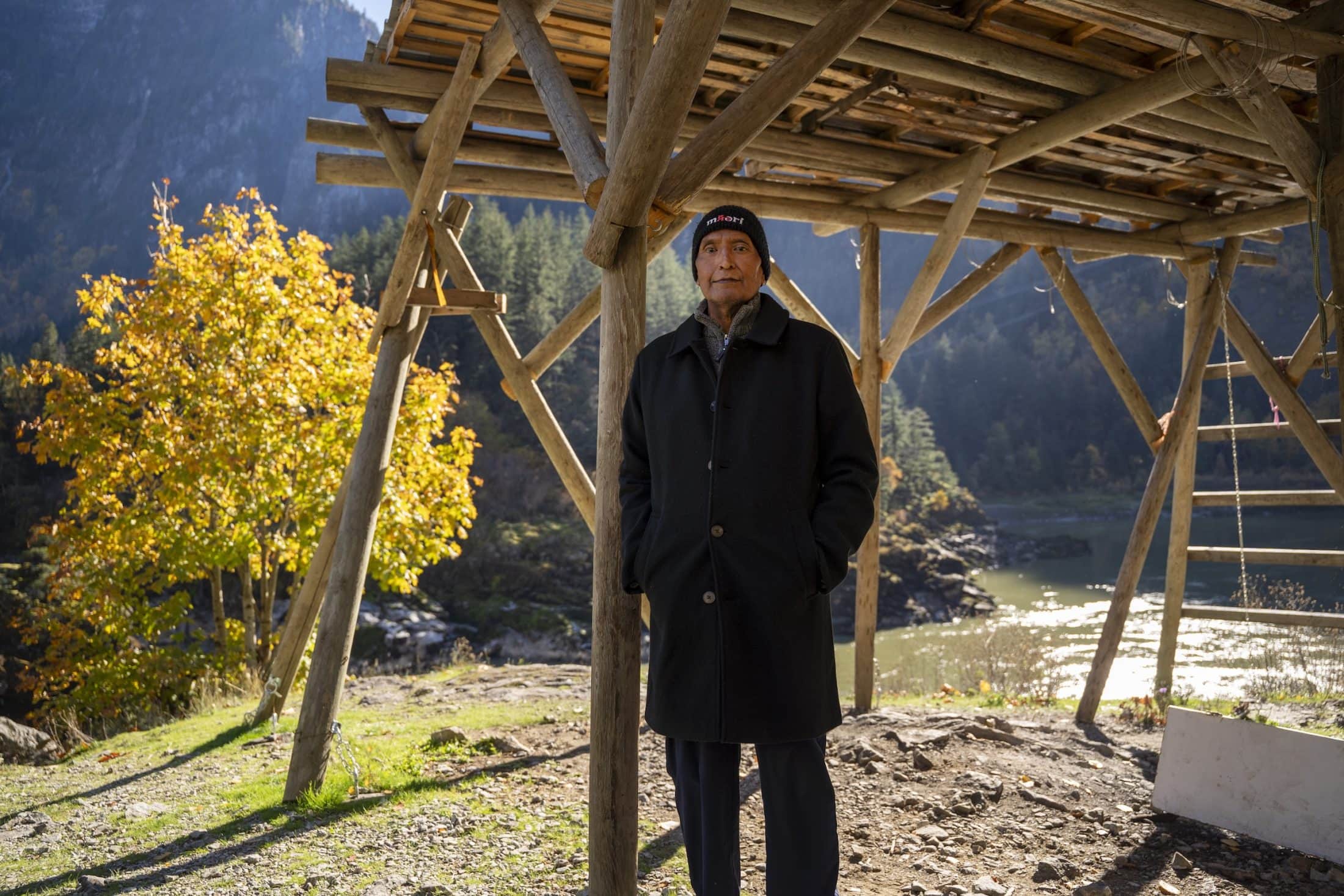
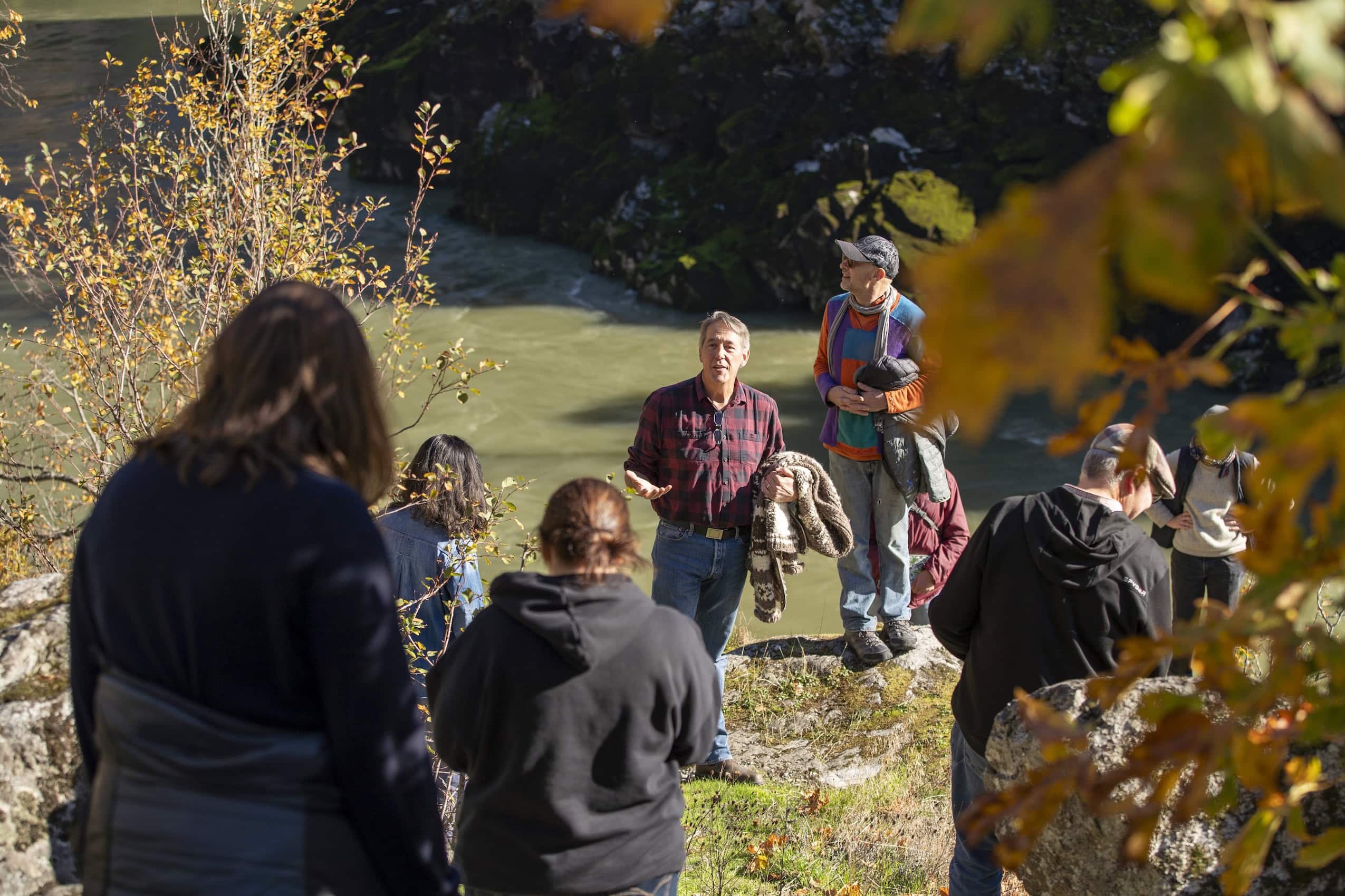
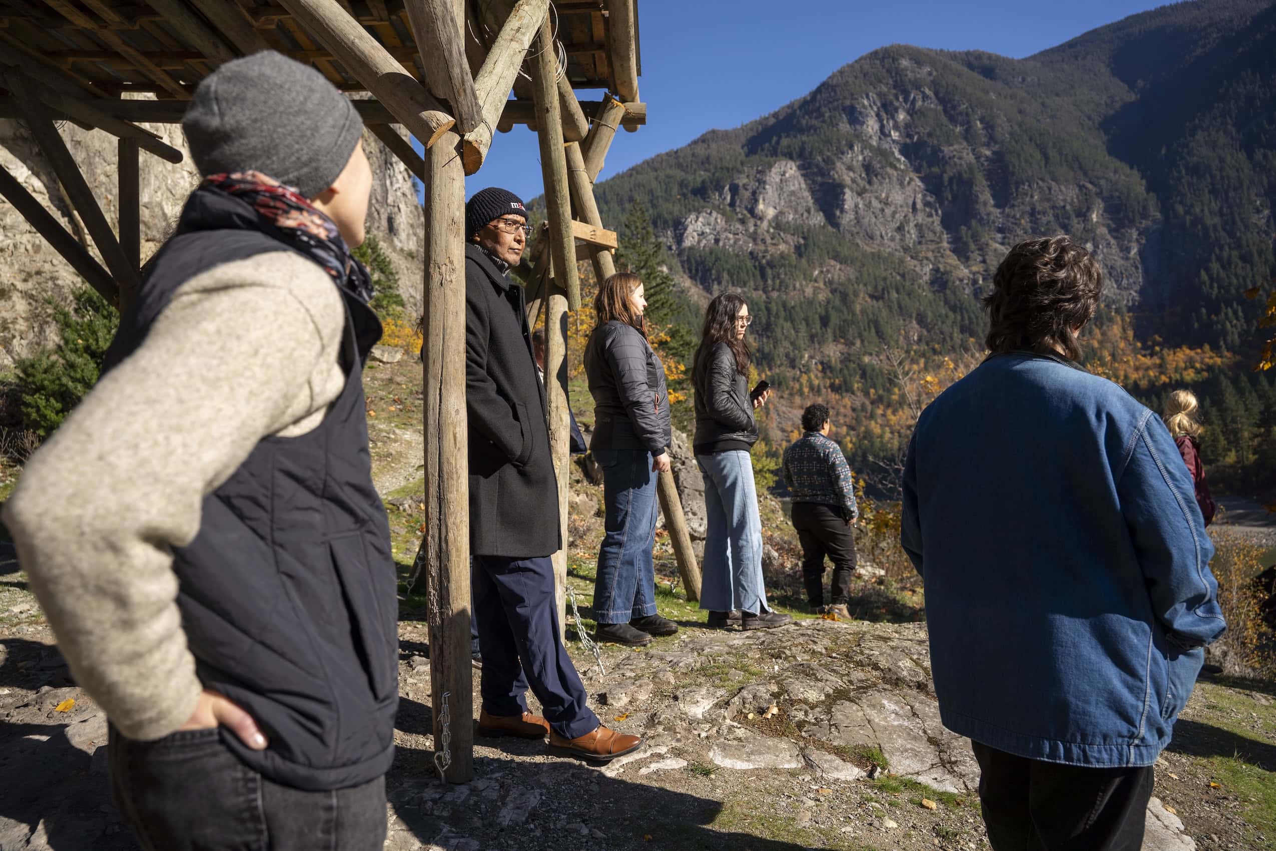
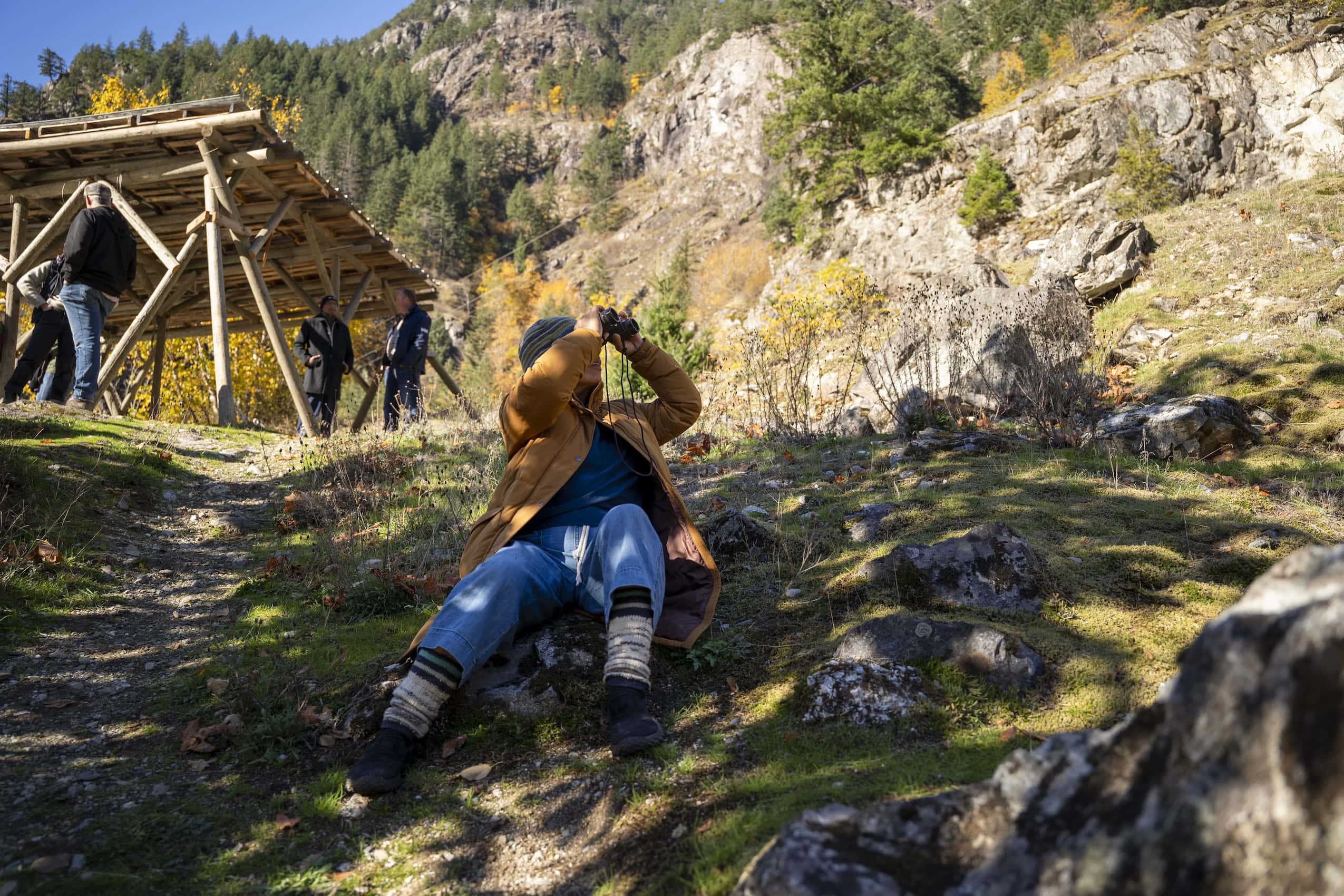
Jay Hope stands on a cliff at the entrance of the Fraser Canyon overlooking one of the most prized fishing sites in the Coast Salish world. Sturgeons jump in the Fraser River below and white specks of mountain goats slowly move across the distant cliffs above. In the 1980s, before major declines in salmon runs, it was possible to catch 350 sockeye salmon here in an hour using a dipnet.
Hope, now in his late 60s, has many childhood memories here. He’s Nlaka’pamux and Stó:lō and a member of Sq’éwqel (Seabird Island First Nation). It’s the perfect spot to wind dry salmon – where the sun heats the rocks and winds blow back and forth from the Pacific Ocean. It feels like being home, he says. “Makes you remember a lot of good things we did up here.”
Hope is with a small group of local farmers and others sharing the significance of different sites along the Fraser River in Stó:lō territory.
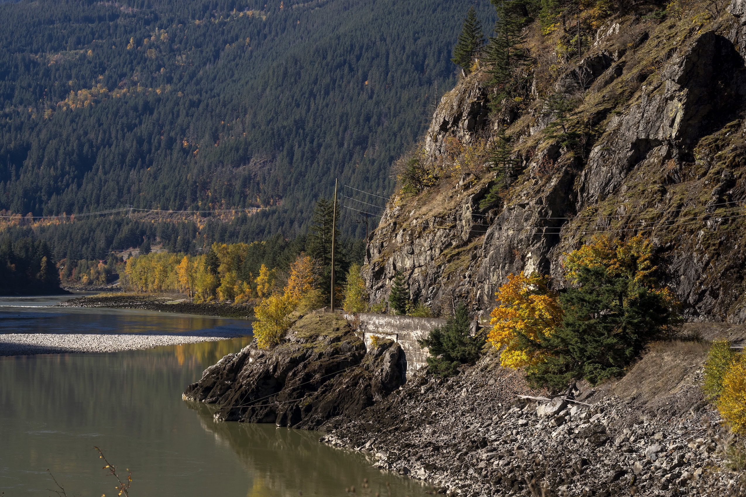
The Fraser River is the province’s longest, stretching 1,375 kilometres from the Rocky Mountains to the Pacific Ocean. It’s also the largest salmon-bearing watershed in B.C. All five species of B.C. salmon can be found here and its networks of lakes and tributaries drain into some of the most rich and fertile soils in the province.
More than 100 years ago, settlers realized the agricultural potential of the river basin and the colonial government forced First Nations communities onto limited reserve land. Semá:th Xó:tsa (Sumas Lake) was drained for plots, streams were rerouted, wetlands disappeared and the landscape was drastically transformed. Areas that once naturally absorbed waters during heavy rains or annual snow melts were built over.
All of this made life harder for salmon, including the flood control infrastructure built to compensate. Lina Azeez is the habitat programs director at Watershed Watch Salmon Society. The organization, which is also a member of the Lower Fraser Floodplains Coalition, did some mapping in 2024 which found more than “1,700 kilometres of salmon habitat is blocked by at least 186 pieces of flood control infrastructure.” Waterways can also get plugged by sediments and silts released by industries upstream, such as forestry and mining, she said.
Those threats are added on to the stresses brought by modern agriculture, such as the effects of fertilizers and pesticides. “Even though many farmers are taking the steps needed to reduce nutrients moving into the water, there are still nutrients that are flowing into the water, dropping oxygen levels, which immediately kills fish,” Azeez said.
Today, the Fraser Valley Regional District is “one of the most intensively farmed areas in Canada,” a 2017 report by the district states. The region contributes the most revenue toward the province’s $5.5 billion agriculture industry.
“On the one hand, people’s livelihoods are at stake. But it’s hard to listen to these conversations without recognizing that there’s definitely some worldview assumptions within the arguments,” Bodnar of Organic BC said. “More blatantly, there’s racist undertones to all of it, and sometimes it’s just overt. Sometimes it gets really, really difficult really fast.”
Going beyond truth toward reconciliation
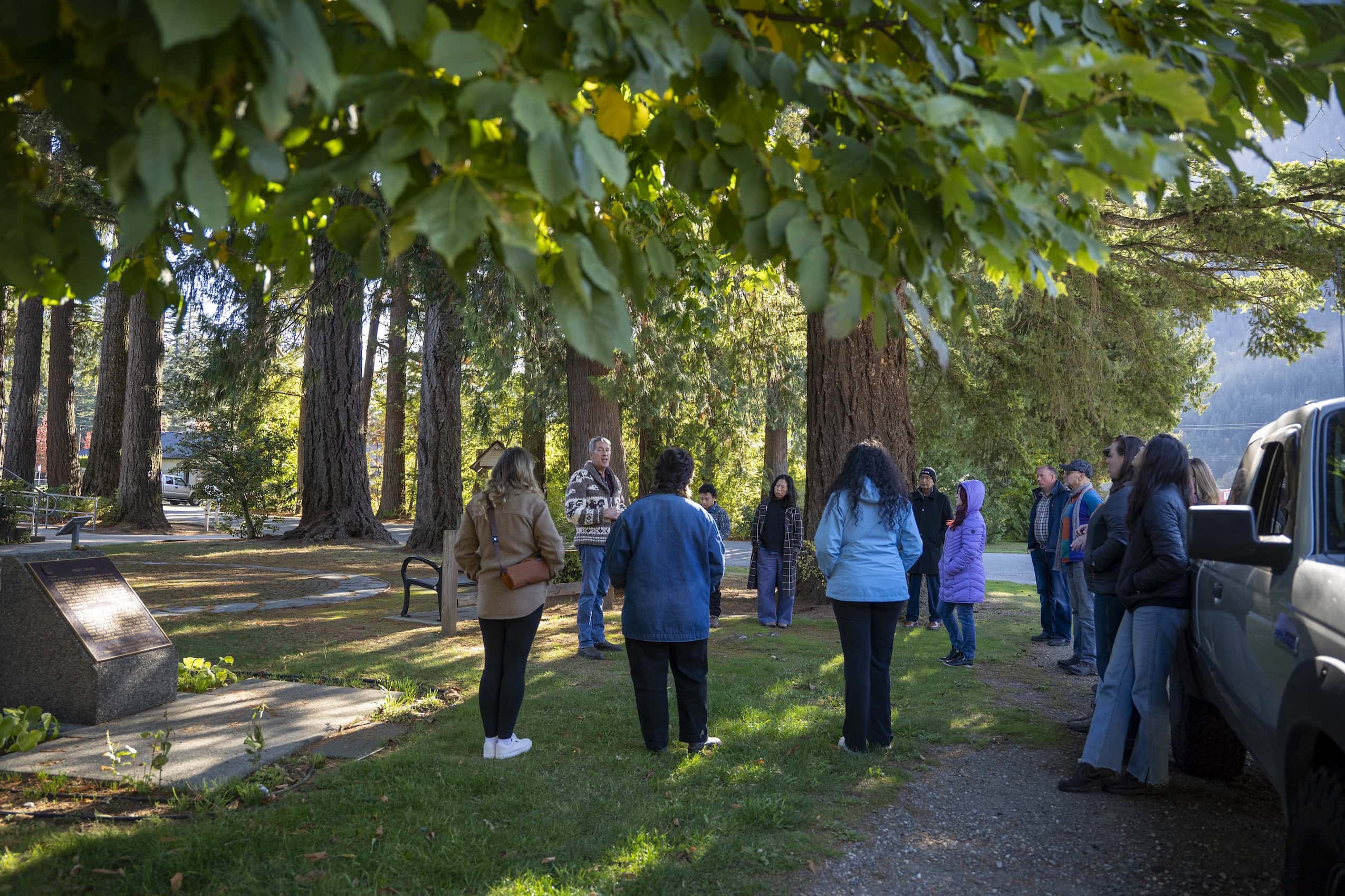
Rosa Quintana Lillo sits near the back of a tour bus as it winds south from Hope’s family fishing spot back to the community’s gathering hall. It’s the end of a day visiting sites of significance to Sq’éwqel. Along the way, Keith Carlson, Canada Research Chair of Indigenous and community-engaged history and director of the Peace and Reconciliation Centre at the University of the Fraser Valley, uses a microphone to share stories and point out important landmarks.
“I cross Seabird Island on my way to work and home every day on my bicycle. It’s important land,” Quintana Lillo said. She’s a subsistence gardener who also works at Cedar Isle Farm, right beside the Sq’éwqel. The organic farm which grows grains, forage for dairy cattle and vegetables, is managed by Jim Grieshaber-Otto, Diane Exley and their daughter Hannah Exley. Grieshaber-Otto moved to Canada from the United States and Diane Exley is from the United Kingdom.
The aftermath of the 2021 atmospheric rivers is on Quintana Lillo’s mind. That, and climate change, requires better connection between neighbours, Quintana Lillo said. “We do all need to help each other. It’s tough and it can get a lot tougher.”
The floodplain coalition began its farmers and First Nations project in 2023, bringing together dozens of people from across the Fraser Valley for a big-picture conversation. There were First Nation leaders, agricultural organizations and farmers, as well as local residents from both First Nations and other communities. From there, work evolved to find three restoration projects on channels, tributaries and sloughs along the Fraser River. That work is now underway with Cheam, Sqwá and Leq’á:mel First Nations.
Sq’éwqel is figuring out what its project with coalition members will be. This October, the nation hosted a two-day event for local farmers, including inviting Carlson to co-lead a bus tour with Hope, and share a rich historical timeline of colonialism in the area. That included explaining that there are no farms or families on the south side of the island anymore because of river diversions that increased flood risk. More than a dozen participants were captured by the stories going back to the gold rush, the construction of the railroads and the colonial policies that prioritized settlers.
Other facilitators led conversations about cultural identity, stereotypes and how to bridge differences. Some of the comments and questions around navigating paperwork with First Nations, proper disposal of waste and the recent Cowichan Tribes court decision revealed tensions within and between the communities.
There were also commonalities, such as the importance of generational planning, the value of hard work and emotional connection to the land.
“It’s hard because I think we haven’t gotten beyond truth,” when it comes to truth and reconciliation, Quintana Lillo said, acknowledging the need to learn and understand local history. She was struck by an aerial map Carlson presented from the early 1900s. It showed how Stó:lō farmers were growing some of the same commercial crops on Seabird Island as they are now growing at Cedar Isle Farm. “It’s making us connect to the land and the people at Seabird Island, who are our neighbours.”
From flooded farmland to restored wetland
Bodnar lives in Abbotsford, where his wife, Paige Dampier, runs a mixed organic farm that luckily wasn’t planted when parts of it were submerged during the 2021 floods. He helps out when he can, but transitioned to teaching agriculture at the University of the Fraser Valley two years ago.
In early 2023, Bodnar attended one of the farmer and First Nation conversations in Shxwhá:y Village in Chilliwack, where he heard Stó:lō Tribal Council Tribal Chief Tyrone McNeil say he wanted to find solutions as neighbours — then push for government action as a collective.
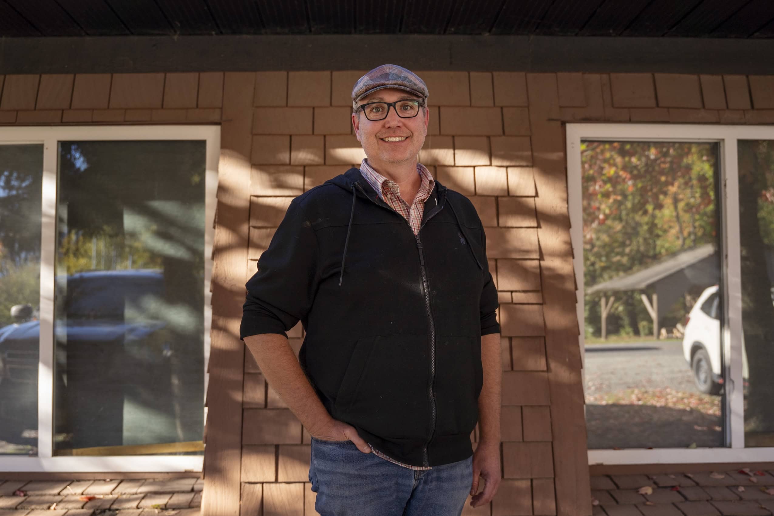
“For me, that was a moment where I was like, ‘Wow, this is just such a generous invitation to open up dialogue and say we can work together,’ ” Bodnar said. He was immediately inspired to restart a project that had been on his to-do list for years — using an environmental farm plan to develop a water management project which could protect his farm’s growing areas by restoring the wetland — and to reach out to the local First Nation.
“We called the lands office at Kwantlen [First Nation] and said, ‘This is our project. This is what we want to do. What would you like to see before it goes to permitting?’ ”
Kwantlen asked Bodnar to do an archeological assessment and referred him to an archeologist. (There are oral histories and archeological evidence of ongoing human occupation in the region going back roughly 10,000 years.) The archaeologist, funded by the province, found evidence of human habitation on the land. They couldn’t accurately date the findings, so no archeological designation was put on site, Bodnar told The Narwhal.
He said getting permits for his water management project took only a few months, and that he was told working with the local First Nations in advance made approvals faster. “If you do this work proactively, constructively and collaboratively, it can actually make the work a lot easier,” he said.
What was once a pasture area of invasive grass is now a restored wetland. It provides a natural space for floodwaters away from their fields and recharges their aquifers. “This is a win-win in so many ways,” Bodnar said.